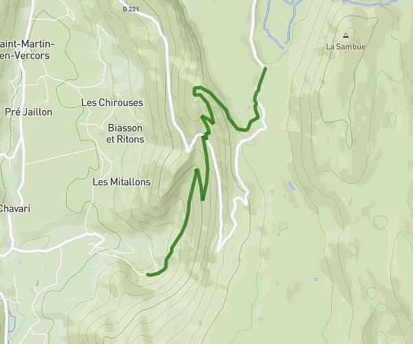
This hiking trail covers 13.112mi starting from Saint-Agnan-en-Vercors, Drôme. The hike is a loop trail and returns to the trailhead. This hike is rated as moderate, plan for about 5h4m to complete it. The route has an elevation gain of 3711ft and an elevation loss of 3589ft.
Description of the route by the creator
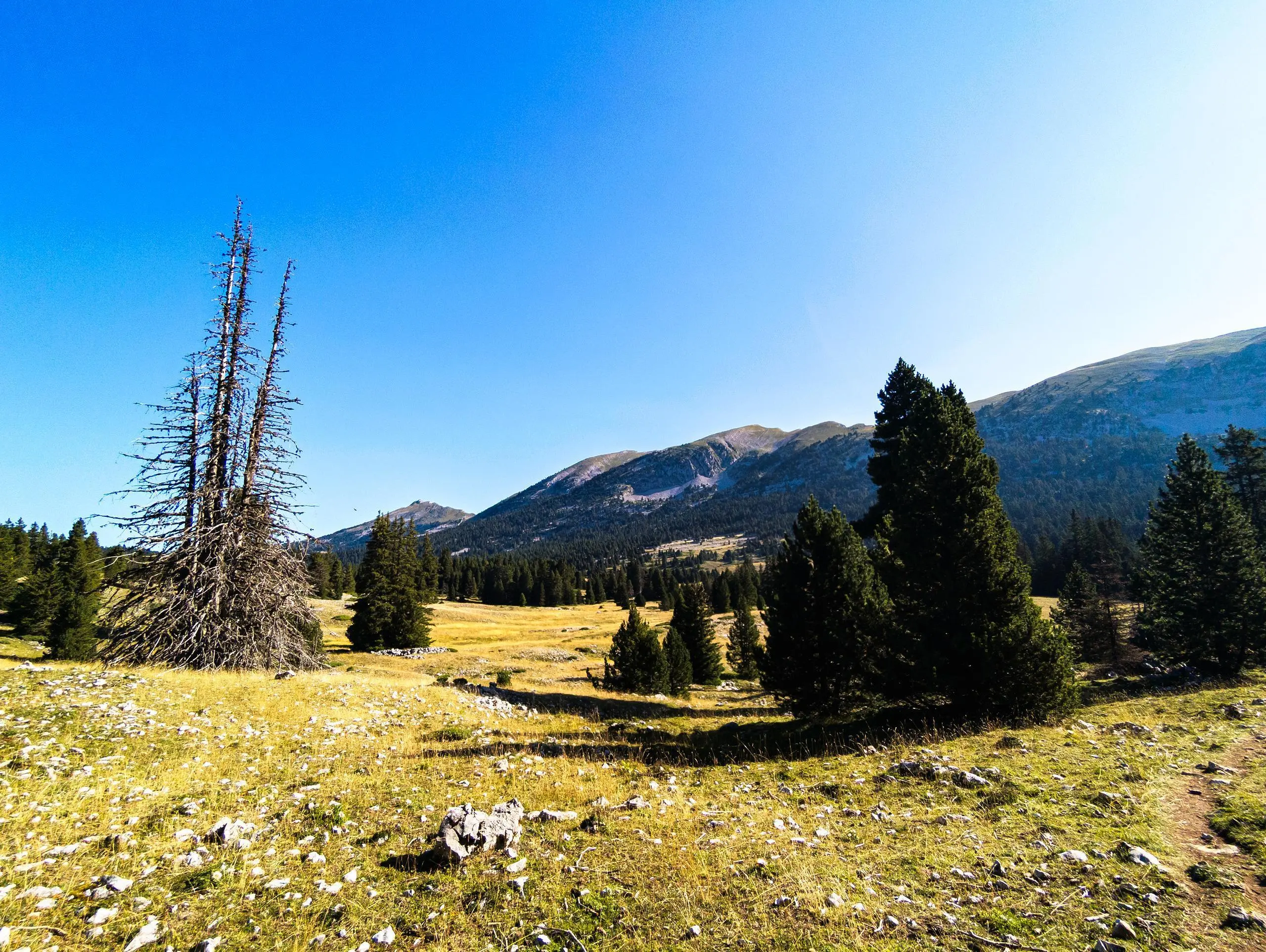
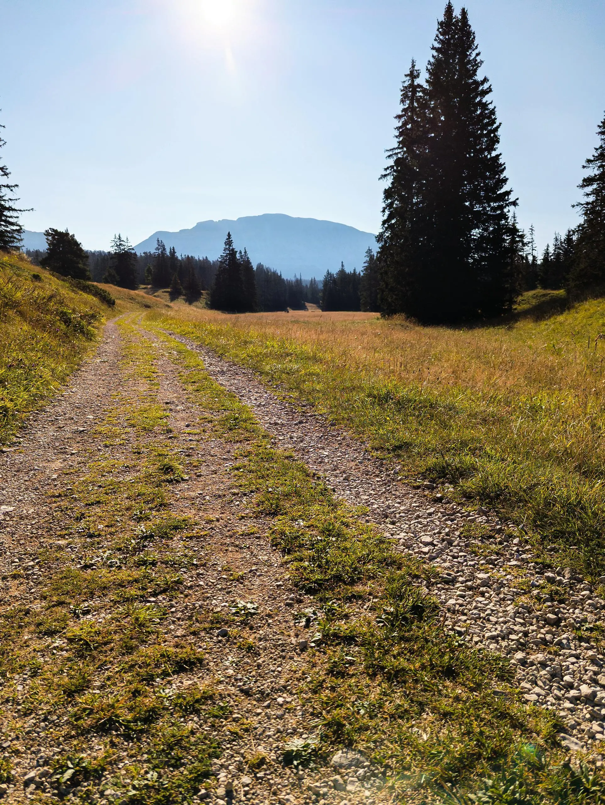
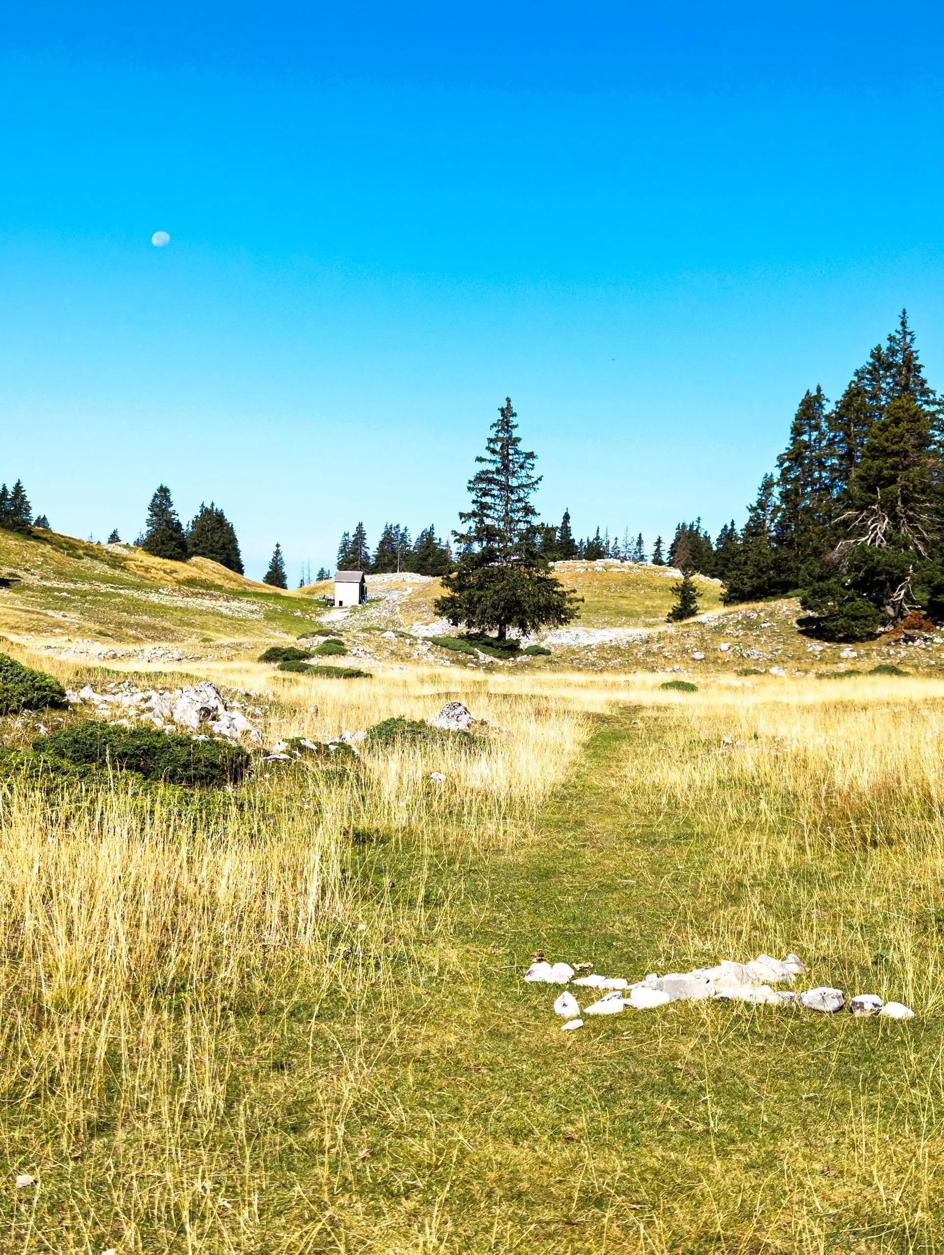
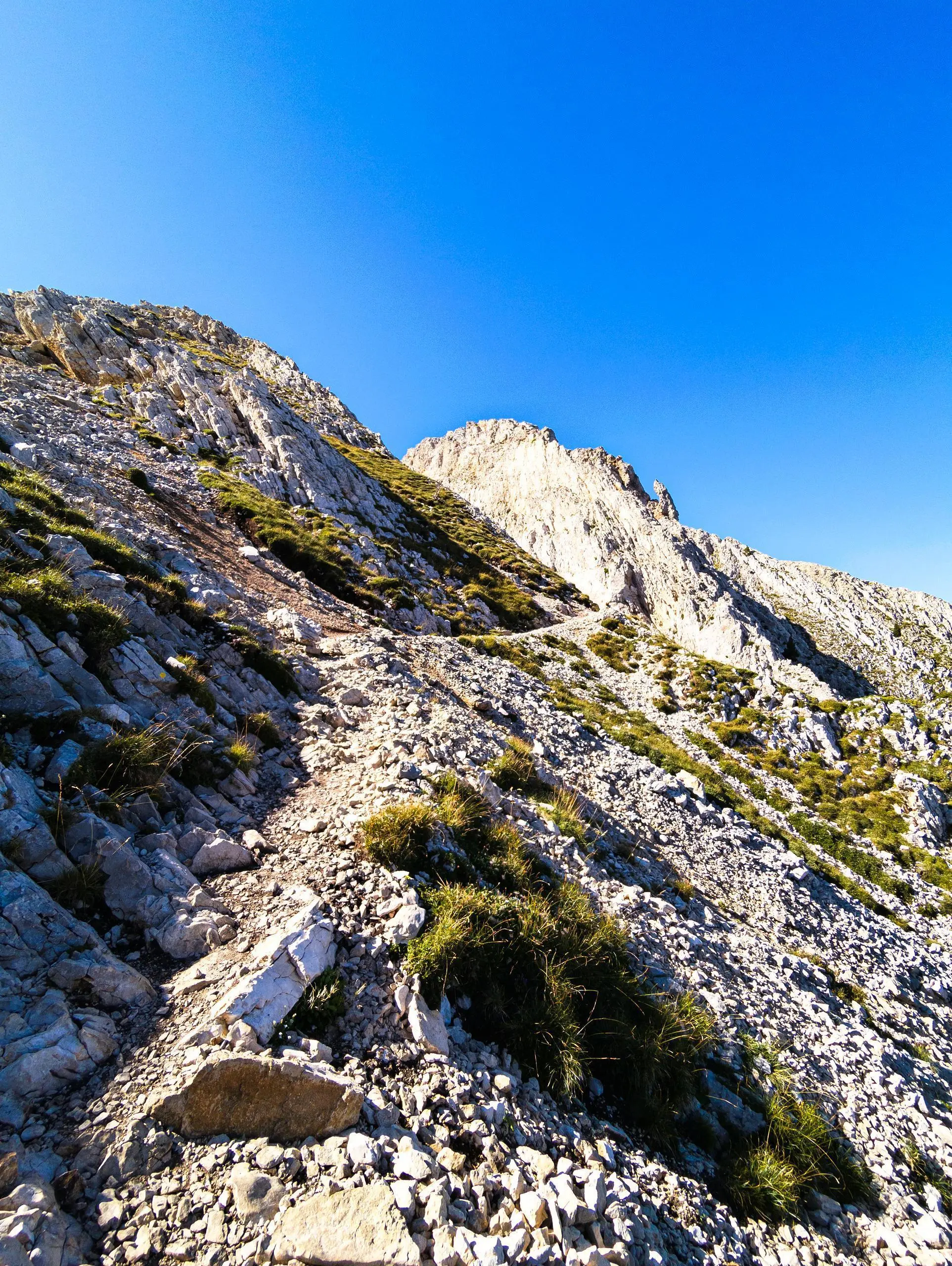
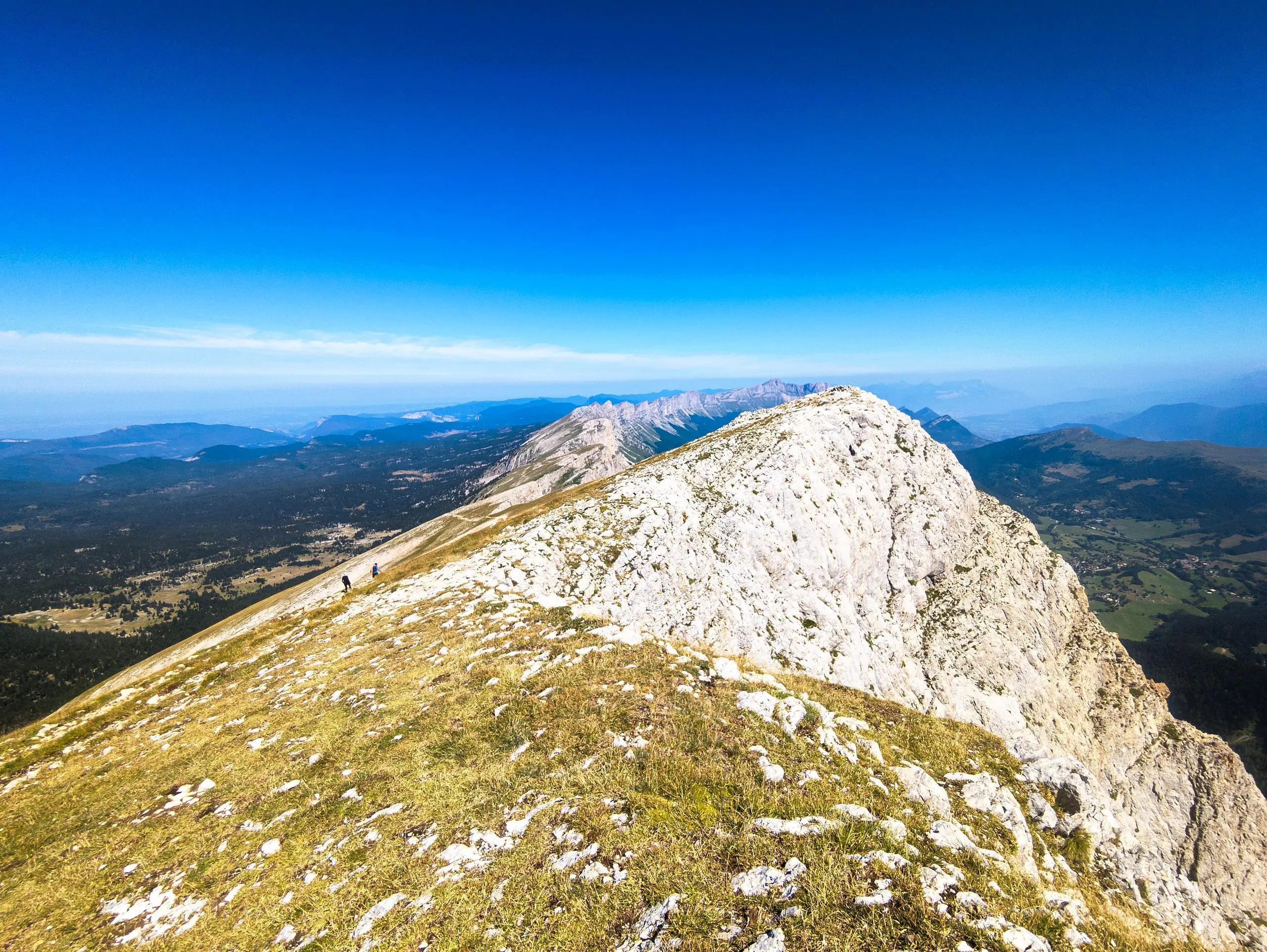
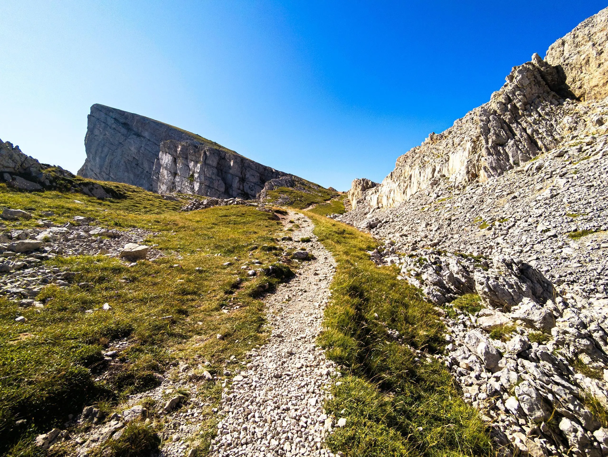
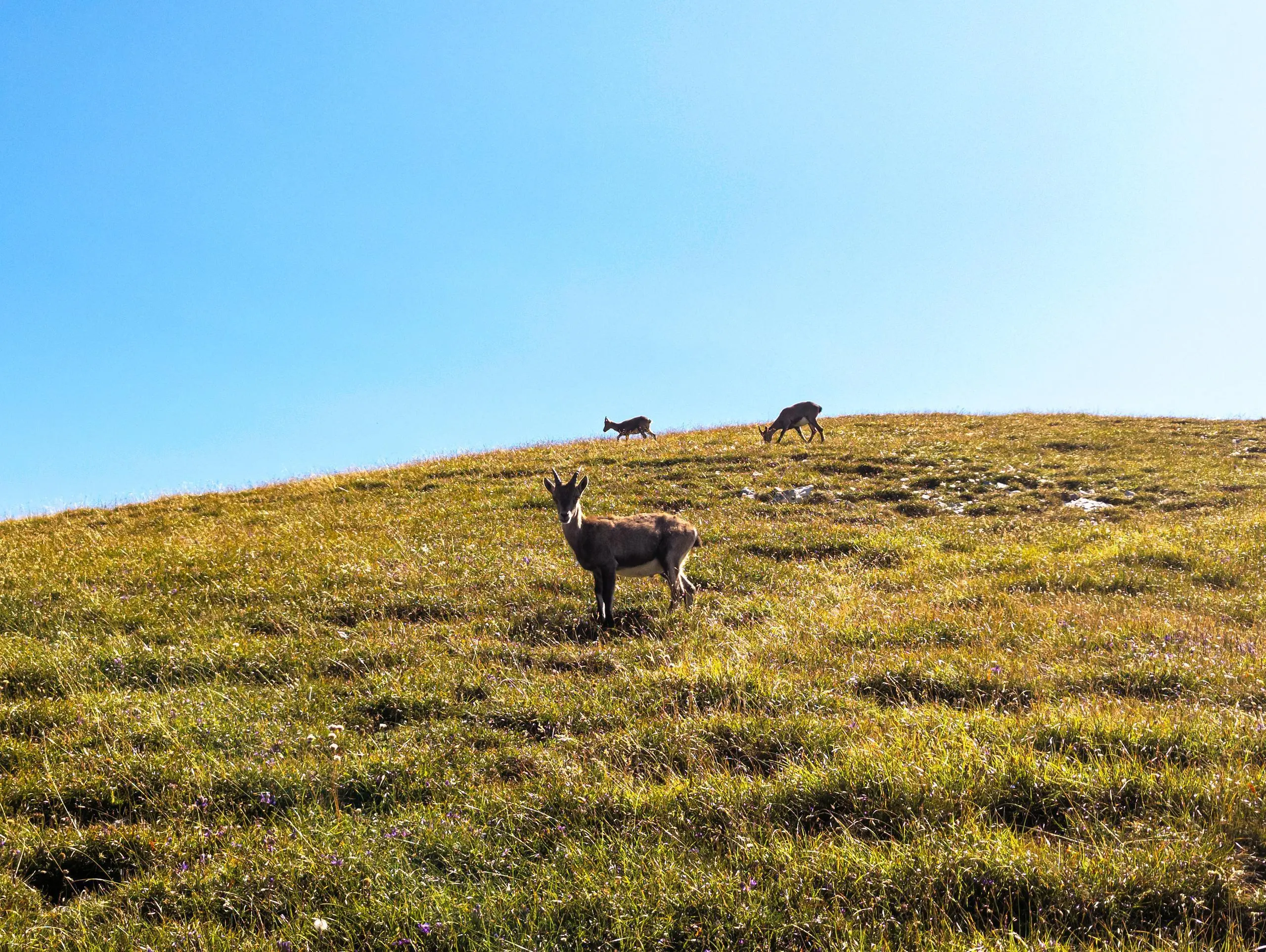
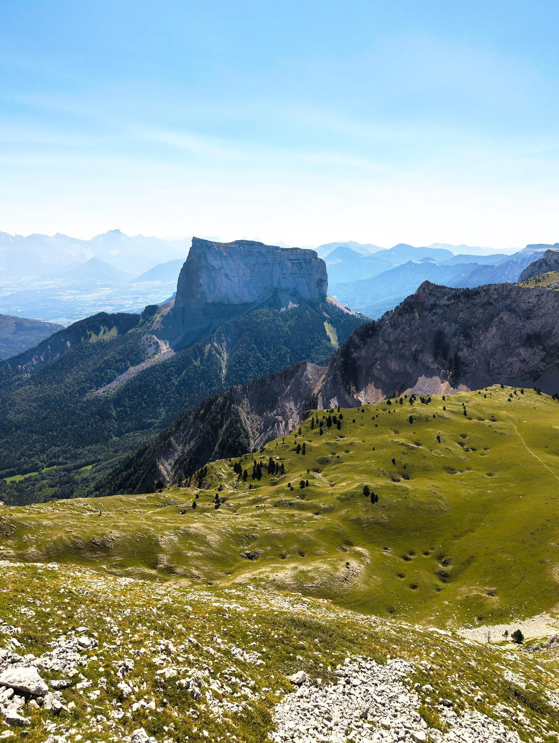
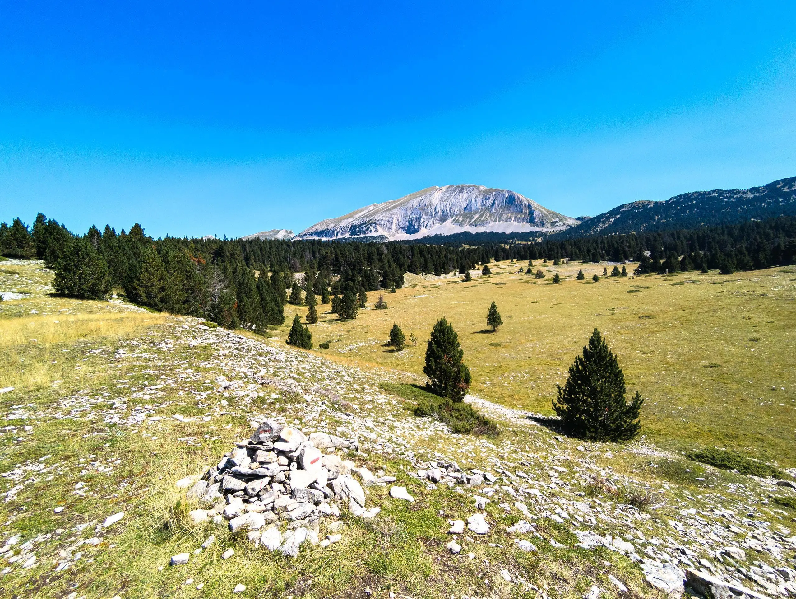
A must-do hike in the Vercors to reach the highest point of the Vercors : Le Grand Veymont. The trail is well signposted all the way and allows you to make a large loop to see different viewpoints. Park at the Coche parking lot (be careful, the road up to the high plateau is very narrow). The path follows the forest road for the whole of the first section, on a gentle slope. The climb really begins before you reach the Pas de Ville pass. The climb is a little long but not particularly difficult. If you're lucky, you'll come across some chamois wandering along the mountain. Continue along the ridge to the summit. The return journey is made by continuing straight on the path, which really begins to descend a little further on. Just follow the signs to stay on the path all the way back to the start parking lot.