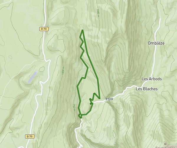
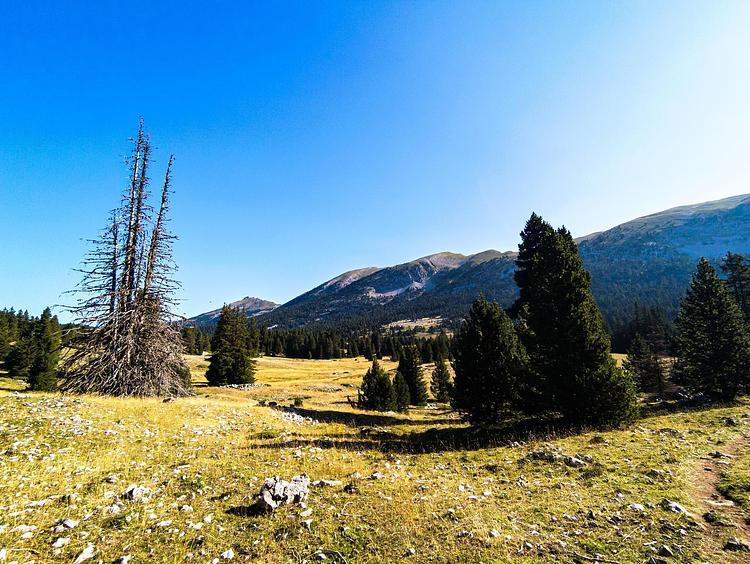
This hiking trail covers 4.546mi starting from Beauregard-Baret, Drôme. The hike does not return to the trailhead and ends near 1715 Route De Tête D'homme, 26300 Beauregard-Baret, France. This hike is rated as strenuous, plan for about 2h37m to complete it. The route has an elevation gain of 1781ft and an elevation loss of 1430ft.
Autour de la Gardette Beauregard-Baret
Route details
1.74mph
Speed
1235 kcal
Calories burned
13.4%
Avg grade
Point to point
Route type
1690ft
Min altitude
3219ft
Max altitude
Steep climb
Route profile
1781ft
Elevation gain
1430ft
Elevation loss
1690ft
Min altitude
3219ft
Max altitude
How to get there
Trailhead: 1500 Route De Tête D'homme, 26300 Beauregard-Baret, France
GPS coordinates of the trailhead: 44.991489, 5.198487 / 44°59'29'' N, 5°11'54'' E