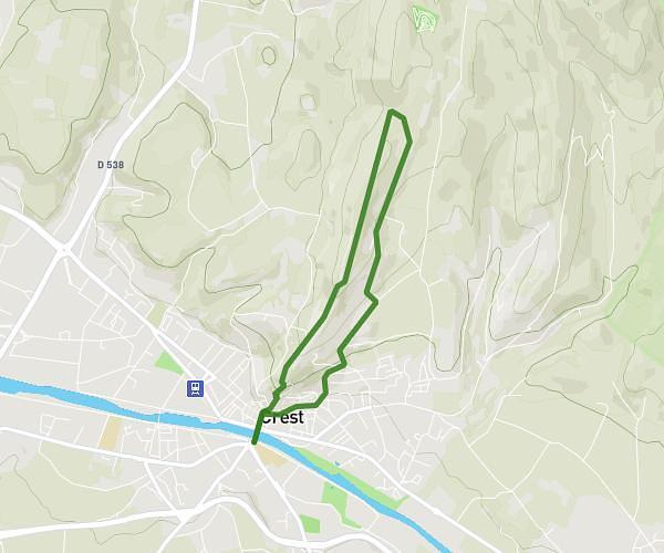
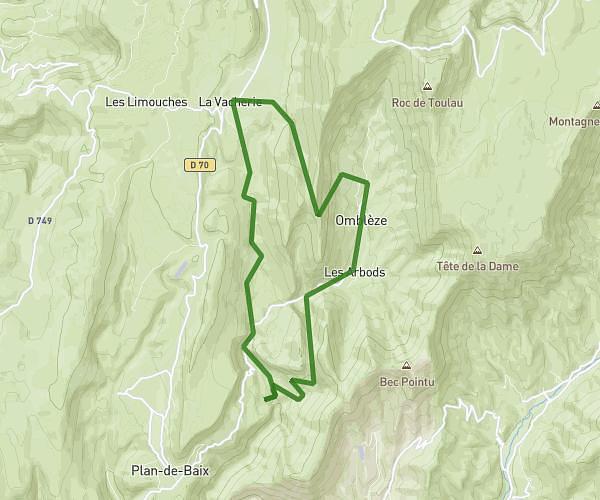
This hiking trail covers 12.062mi starting from Omblèze, Drôme. The hike does not return to the trailhead and ends near 26400, Omblèze, Drôme, France. This hike is rated as strenuous, plan for about 1h46m to complete it. The route has an elevation gain of 3343ft and an elevation loss of 1660ft.
Rando ambel j1 et j2
Route details
6.83mph
Speed
807 kcal
Calories burned
7.9%
Avg grade
Point to point
Route type
2346ft
Min altitude
4892ft
Max altitude
Route profile
3343ft
Elevation gain
1660ft
Elevation loss
2346ft
Min altitude
4892ft
Max altitude
How to get there
Trailhead: Chemin De Plan De Baix, 26400 Omblèze, France
GPS coordinates of the trailhead: 44.870258, 5.221826 / 44°52'12'' N, 5°13'18'' E