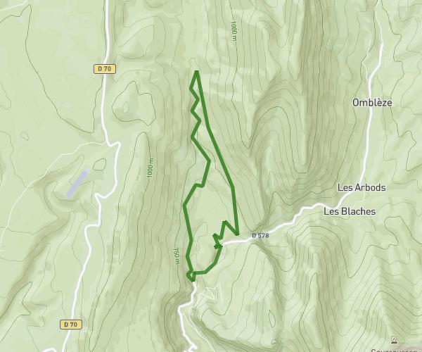
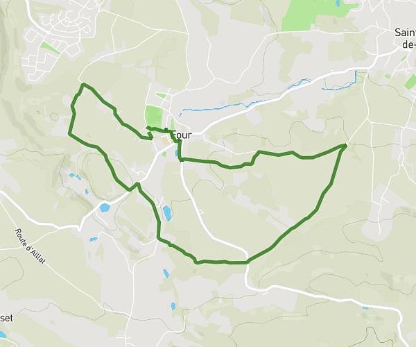
This hiking trail covers 4.015mi starting from Pont-en-Royans, Isère. The hike is a loop trail and returns to the trailhead. This hike is rated as easy, plan for about 1h35m to complete it. The route has an elevation gain of 682ft and an elevation loss of 682ft.
Au fil de la Bourne depuis Cabesto
Route details
2.54mph
Speed
701 kcal
Calories burned
6.4%
Avg grade
Loop trail
Route type
614ft
Min altitude
823ft
Max altitude
Route profile
682ft
Elevation gain
682ft
Elevation loss
614ft
Min altitude
823ft
Max altitude
How to get there
Trailhead: 1 Place Du Breuil, 38680 Pont-en-Royans, France
GPS coordinates of the trailhead: 45.060673, 5.343405 / 45°3'38'' N, 5°20'36'' E