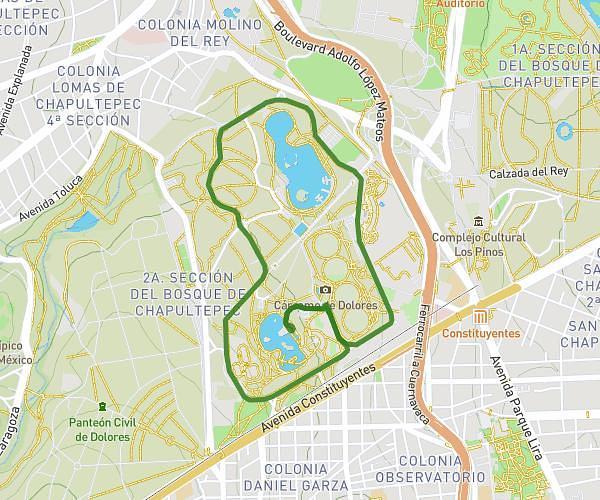
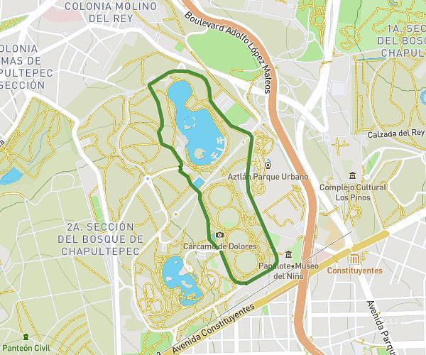
This walking route covers 0.634mi starting from Mexico City, Estado de México. The walk does not return to the trailhead and ends near General Mariano Arista 50, 07058 Mexico City, Mexico. This walk is rated as easy, plan for about 14m to complete it. The route has an elevation gain of 0ft and an elevation loss of 13ft.
1.1.3
Route details
22:06/mi
Pace
57 kcal
Calories burned
Point to point
Route type
7339ft
Min altitude
7352ft
Max altitude
Route profile
0ft
Elevation gain
13ft
Elevation loss
7339ft
Min altitude
7352ft
Max altitude
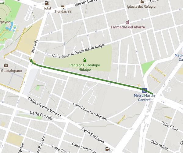
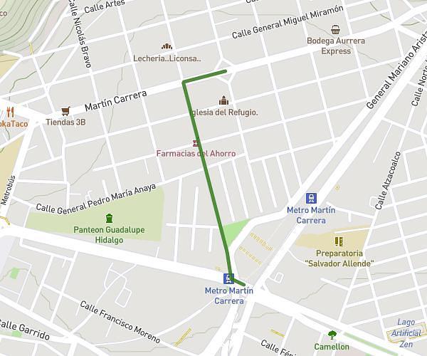
How to get there
Trailhead: Calle Oriente 157 206, 07070 Mexico City, Mexico
GPS coordinates of the trailhead: 19.48959, -99.10103 / 19°29'22'' N, 99°6'3'' W