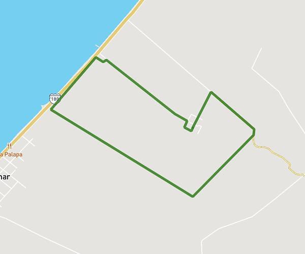
This running route covers 6.624mi starting from Champotón, Campeche. The run does not return to the trailhead and ends near . This run is rated as moderate, expect about 1h7m to complete it. The route has an elevation gain of 26ft and an elevation loss of 52ft.
10KMCENCAEIM2025
Route details
5.92mph
Speed
768 kcal
Calories burned
Point to point
Route type
3ft
Min altitude
46ft
Max altitude
Route profile
26ft
Elevation gain
52ft
Elevation loss
3ft
Min altitude
46ft
Max altitude
How to get there
Trailhead: Champotón, Campeche, 24410, Mexico
GPS coordinates of the trailhead: 19.295583, -90.751816 / 19°17'44'' N, 90°45'6'' W