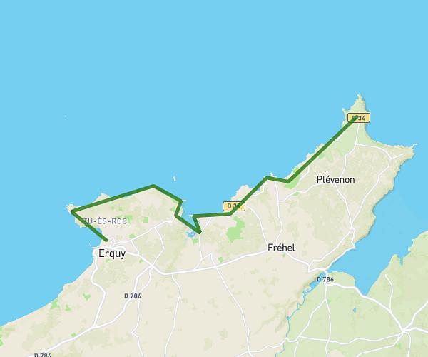
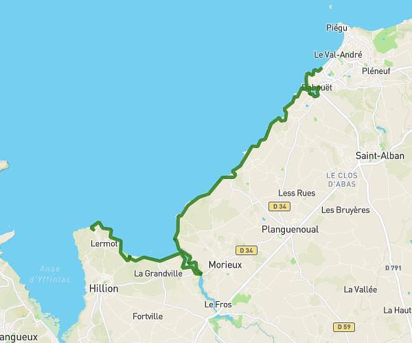
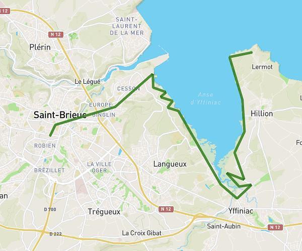
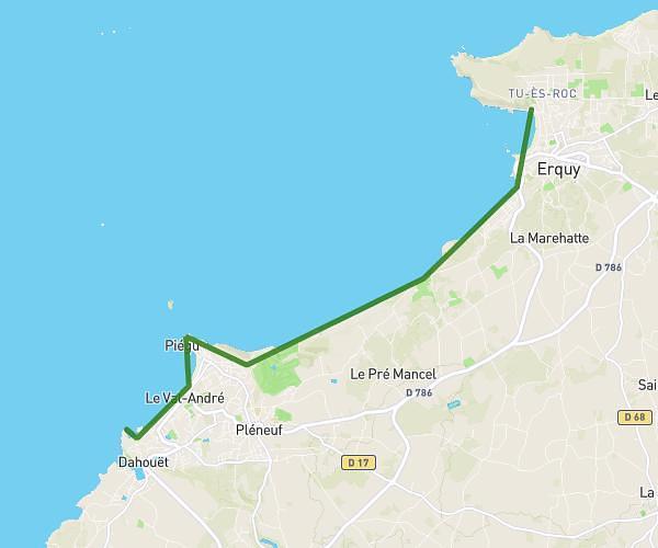
Explore this hiking route of 7,082mi starting from Pléneuf-Val-André, Côtes-d'Armor. The hike does not return to the starting point and ends near Boulevard De La Mer, 22430 Erquy. This hike has no defined difficulty level, plan for about 3h15m to complete it. The route has a positive elevation gain of 794ft and a negative elevation loss of 810ft.
étape 3
Route details
Route profile
794ft
Elevation +
810ft
Elevation -
0ft
Min altitude
190ft
Max altitude
How to get there
Route starting point: Rue Des Embruns, 22370 Pléneuf-Val-André
GPS coordinates of the starting point: 48.58597, -2.55908 / 48°35'9'' N, 2°33'32'' W
Calculate the time to reach the starting point from your location or an address