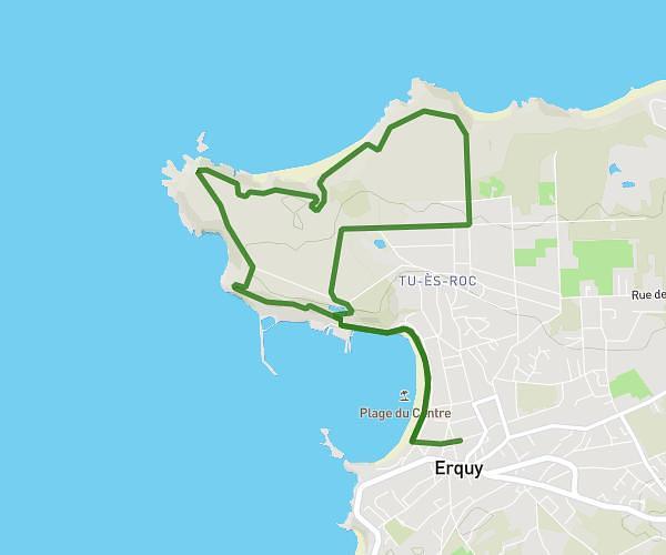
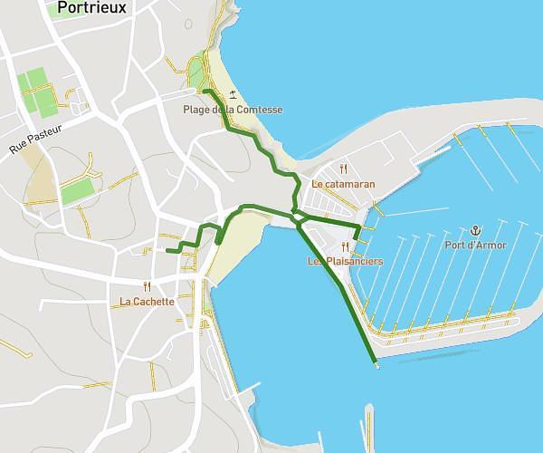
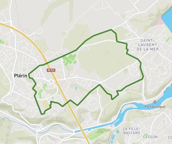
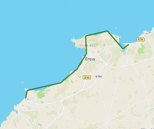
This hiking trail covers 12.588mi starting from Saint-Brieuc, Côtes-d'Armor. The hike does not return to the trailhead and ends near Rue De Fonteneau, 22120 Hillion. This hike is rated as moderate, plan for about 5h47m to complete it. The route has an elevation gain of 472ft and an elevation loss of 659ft.
étape 1
Route details
2.17mph
Speed
2460 kcal
Calories burned
1.7%
Avg grade
Point to point
Route type
3ft
Min altitude
325ft
Max altitude
Route profile
472ft
Elevation gain
659ft
Elevation loss
3ft
Min altitude
325ft
Max altitude
How to get there
Trailhead: Voie Bus, 22000 Saint-Brieuc
GPS coordinates of the trailhead: 48.50783, -2.76477 / 48°30'28'' N, 2°45'53'' W