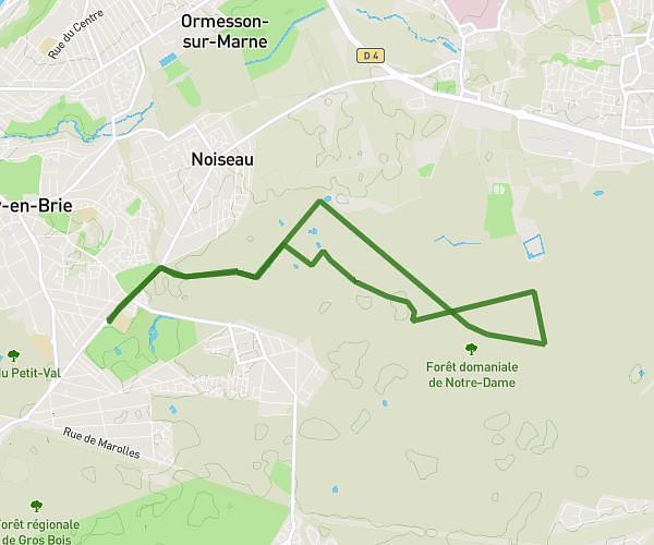
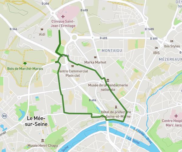
This walking route covers 3.032mi starting from Cesson, Seine-et-Marne. The walk is a loop trail and returns to the trailhead. This walk is rated as easy, plan for about 1h13m to complete it. The route has an elevation gain of 157ft and an elevation loss of 157ft.
Cesson
Route details
24:08/mi
Pace
299 kcal
Calories burned
Loop trail
Route type
230ft
Min altitude
285ft
Max altitude
Route profile
157ft
Elevation gain
157ft
Elevation loss
230ft
Min altitude
285ft
Max altitude
How to get there
Trailhead: 44 Avenue Charles Monier, 77240 Cesson, France
GPS coordinates of the trailhead: 48.563117, 2.603504 / 48°33'47'' N, 2°36'12'' E