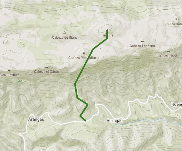
This hiking trail covers 5.209mi starting from Llanes, Asturias. The hike is a loop trail and returns to the trailhead. This hike is rated as strenuous, plan for about 2h14m to complete it. The route has an elevation gain of 2687ft and an elevation loss of 2687ft.
Mazuco - Peñablanca
Route details
2.33mph
Speed
1091 kcal
Calories burned
19.5%
Avg grade
Loop trail
Route type
1158ft
Min altitude
3819ft
Max altitude
Steep climb
Route profile
2687ft
Elevation gain
2687ft
Elevation loss
1158ft
Min altitude
3819ft
Max altitude
How to get there
Trailhead: Lugar Mazucu 107, 33507 Llanes, Asturias, Spain
GPS coordinates of the trailhead: 43.38228, -4.85245 / 43°22'56'' N, 4°51'8'' W