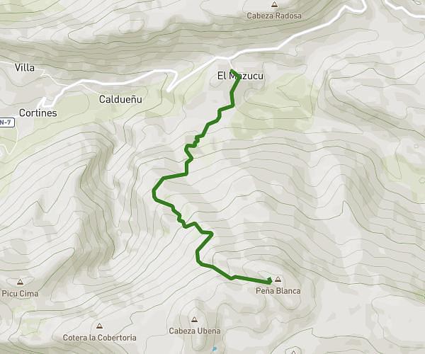
This hiking trail covers 5.739mi starting from El Valle Altu de Peñamellera, Asturias. The hike is a loop trail and returns to the trailhead. This hike is rated as strenuous, plan for about 2h31m to complete it. The route has an elevation gain of 2894ft and an elevation loss of 2884ft.
Torbina
Route details
2.28mph
Speed
1225 kcal
Calories burned
19.1%
Avg grade
Loop trail
Route type
1414ft
Min altitude
4236ft
Max altitude
Steep climb
Route profile
2894ft
Elevation gain
2884ft
Elevation loss
1414ft
Min altitude
4236ft
Max altitude
How to get there
Trailhead: Carretera Arenas - Niserias Por Alles, 33554 El Valle Altu de Peñamellera, Asturias, Spain
GPS coordinates of the trailhead: 43.32733, -4.77895 / 43°19'38'' N, 4°46'44'' W