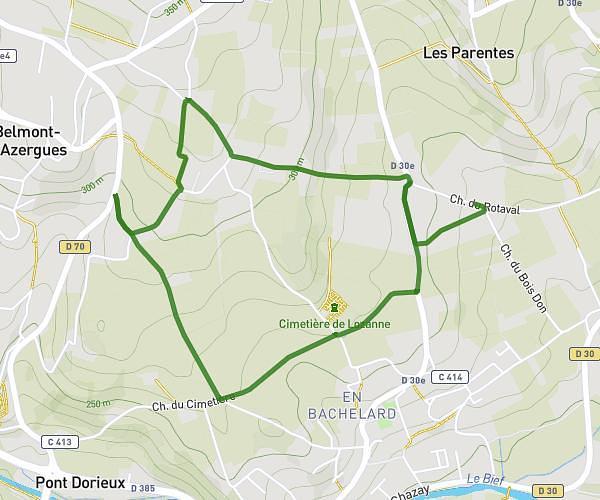
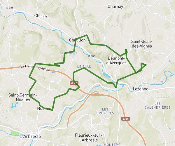
This cycling route covers 13.568mi starting from Lyon, Rhône. The ride is a loop trail and returns to the trailhead. This route is rated as hard, plan for about 34m29s to complete it. The route has an elevation gain of 1106ft and an elevation loss of 1099ft.
Guillotière/Gerland/Confluence/Valmy/Guillotière
Route details
308 kcal
Calories burned
3.1%
Avg grade
Loop trail
Route type
522ft
Min altitude
817ft
Max altitude
Route profile
1106ft
Elevation gain
1099ft
Elevation loss
522ft
Min altitude
817ft
Max altitude
How to get there
Trailhead: 9 Rue Passet, 69007 Lyon, France
GPS coordinates of the trailhead: 45.754841, 4.841265 / 45°45'17'' N, 4°50'28'' E