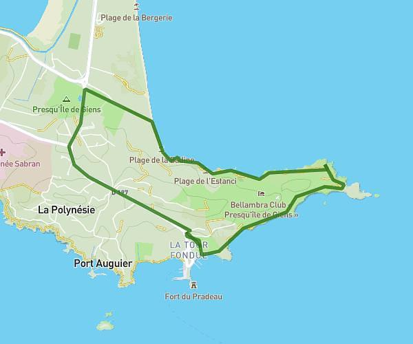
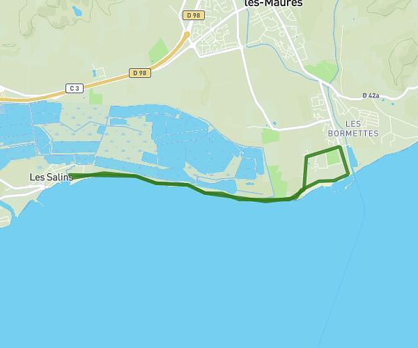
This running route covers 4.966mi starting from La Seyne-sur-Mer, Var. The run is a loop trail and returns to the trailhead. This run is rated as easy, expect about 47m57s to complete it. The route has an elevation gain of 292ft and an elevation loss of 292ft.
8km
Route details
6.21mph
Speed
548 kcal
Calories burned
Loop trail
Route type
23ft
Min altitude
200ft
Max altitude
Route profile
292ft
Elevation gain
292ft
Elevation loss
23ft
Min altitude
200ft
Max altitude
How to get there
Trailhead: Avenue Des Anciens Combattants D'indochine, 83500 La Seyne-sur-Mer
GPS coordinates of the trailhead: 43.10724, 5.86066 / 43°6'26'' N, 5°51'38'' E