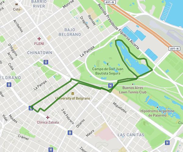
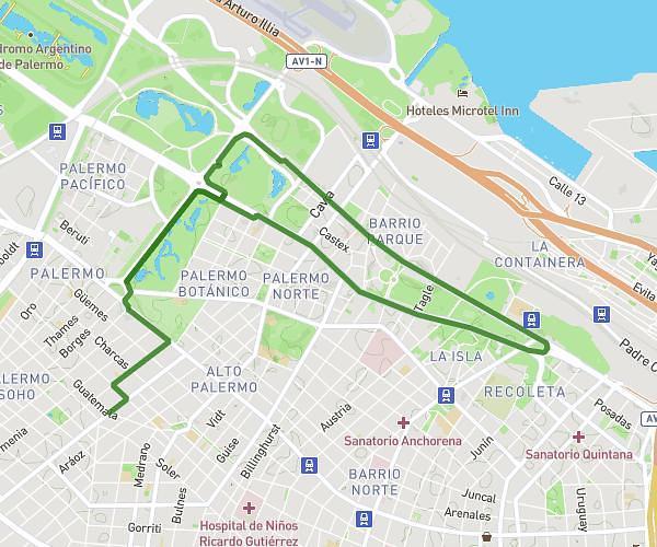
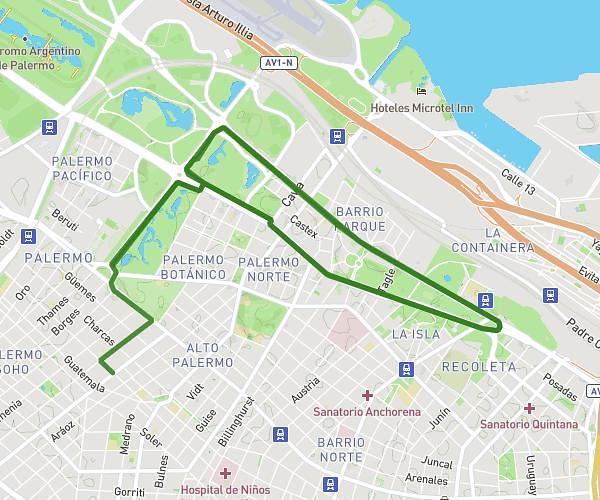
This running route covers 6.215mi starting from Morón, Buenos Aires Province. The run does not return to the trailhead and ends near Charcas 3899, Morón, Buenos Aires Province, B1708, Argentina. This run is rated as moderate, expect about 1h7m to complete it. The route has an elevation gain of 10ft and an elevation loss of 7ft.
10 km
Route details
5.57mph
Speed
766 kcal
Calories burned
Point to point
Route type
92ft
Min altitude
98ft
Max altitude
Route profile
10ft
Elevation gain
7ft
Elevation loss
92ft
Min altitude
98ft
Max altitude
How to get there
Trailhead: Charcas 3301, Morón, Buenos Aires Province, B1708, Argentina
GPS coordinates of the trailhead: -34.681541, -58.628997 / 34°40'53'' S, 58°37'44'' W