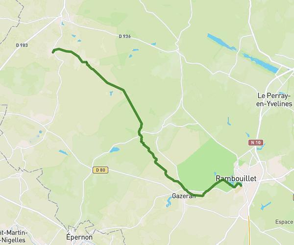
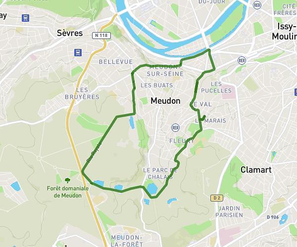
This running route covers 3.214mi starting from Jouars-Pontchartrain, Yvelines. The run is a loop trail and returns to the trailhead. This run is rated as easy, expect about 34m28s to complete it. The route has an elevation gain of 207ft and an elevation loss of 207ft.
Test 5km
Route details
5.59mph
Speed
394 kcal
Calories burned
Loop trail
Route type
249ft
Min altitude
397ft
Max altitude
Route profile
207ft
Elevation gain
207ft
Elevation loss
249ft
Min altitude
397ft
Max altitude
How to get there
Trailhead: 2a Chemin De La Tuilerie, 78760 Jouars-Pontchartrain, France
GPS coordinates of the trailhead: 48.792236, 1.909569 / 48°47'32'' N, 1°54'34'' E