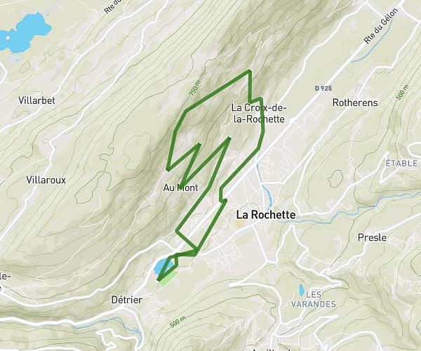
This running route covers 17.124mi starting from Plateau-des-Petites-Roches, Isère. The run is a loop trail and returns to the trailhead. This run is rated as strenuous, expect about 3h3m to complete it. The route has an elevation gain of 8127ft and an elevation loss of 8123ft.
entrainement avec maman pref
Route details
5.59mph
Speed
2100 kcal
Calories burned
Loop trail
Route type
2484ft
Min altitude
4390ft
Max altitude
Route profile
8127ft
Elevation gain
8123ft
Elevation loss
2484ft
Min altitude
4390ft
Max altitude
How to get there
Trailhead: 18 Chemin De Poutrelan, 38660 Plateau-des-Petites-Roches, France
GPS coordinates of the trailhead: 45.354227, 5.918066 / 45°21'15'' N, 5°55'5'' E