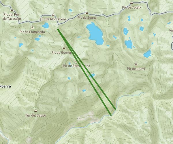
This hiking trail covers 4.059mi starting from Alt Àneu, Lleida. The hike does not return to the trailhead and ends near 25587 Alt Àneu. This hike is rated as strenuous, plan for about 1h18m to complete it. The route has an elevation gain of 1936ft and an elevation loss of 2648ft.
De Lo Tésol al refugi Cerber Mataró
Route details
3.11mph
Speed
631 kcal
Calories burned
21.4%
Avg grade
Point to point
Route type
7503ft
Min altitude
8967ft
Max altitude
High altitude
Steep climb
Route profile
1936ft
Elevation gain
2648ft
Elevation loss
7503ft
Min altitude
8967ft
Max altitude
How to get there
Trailhead: 25589 Alt Àneu
GPS coordinates of the trailhead: 42.6084, 1.03938 / 42°36'30'' N, 1°2'21'' E