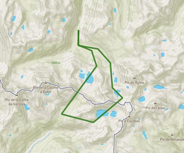
This hiking trail covers 10.744mi starting from Ustou, Ariège. The hike is a loop trail and returns to the trailhead. This hike is rated as strenuous, plan for about 5h45m to complete it. The route has an elevation gain of 5568ft and an elevation loss of 5548ft.
Hilette Pic de Rabassere
Route details
1.86mph
Speed
2817 kcal
Calories burned
19.6%
Avg grade
Loop trail
Route type
3228ft
Min altitude
8392ft
Max altitude
High altitude
Steep climb
Route profile
5568ft
Elevation gain
5548ft
Elevation loss
3228ft
Min altitude
8392ft
Max altitude
How to get there
Trailhead: 945 Espiassiere, 09140 Ustou, France
GPS coordinates of the trailhead: 42.75608, 1.28788 / 42°45'21'' N, 1°17'16'' E