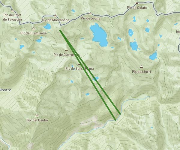
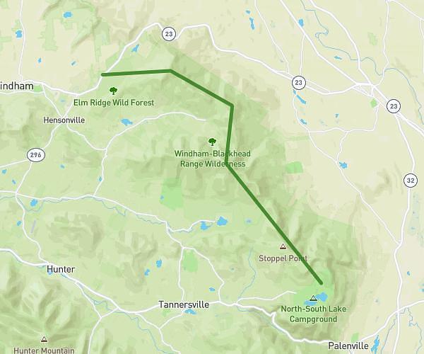
This hiking trail covers 5.886mi starting from . The hike does not return to the trailhead and ends near . This hike is rated as strenuous, plan for about 3h9m to complete it. The route has an elevation gain of 3314ft and an elevation loss of 3153ft.
refuges comapedrosa/cab pasto de rat
Route details
1.86mph
Speed
1562 kcal
Calories burned
20.8%
Avg grade
Point to point
Route type
5696ft
Min altitude
8999ft
Max altitude
High altitude
Steep climb
Route profile
3314ft
Elevation gain
3153ft
Elevation loss
5696ft
Min altitude
8999ft
Max altitude
How to get there
Trailhead:
GPS coordinates of the trailhead: 42.57889, 1.44928 / 42°34'44'' N, 1°26'57'' E