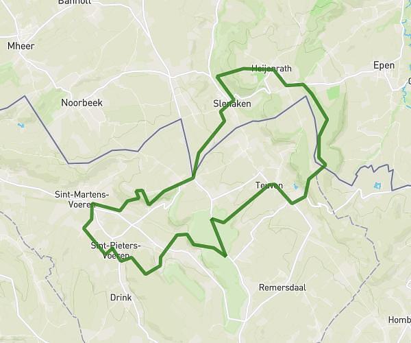
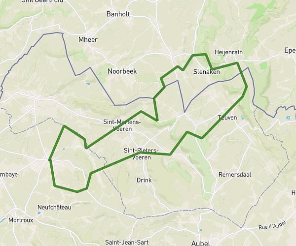
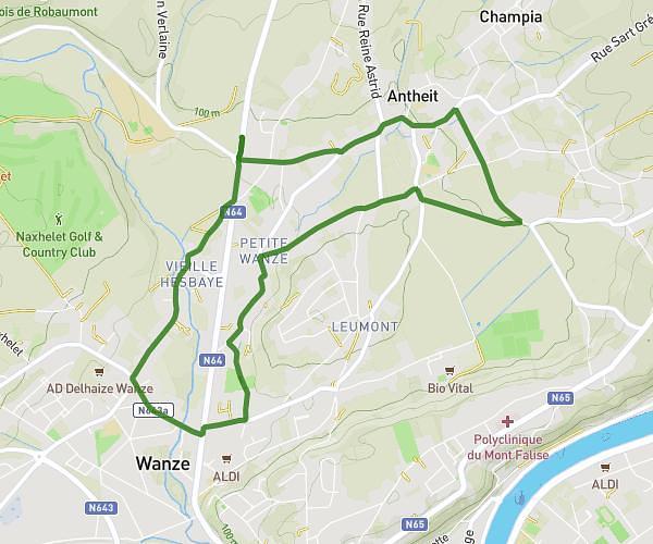
This running route covers 1.602mi starting from Liege, Verviers. The run is a loop trail and returns to the trailhead. This run is rated as easy, expect about 15m to complete it. The route has an elevation gain of 112ft and an elevation loss of 112ft.
Running
Route details
6.41mph
Speed
172 kcal
Calories burned
Loop trail
Route type
522ft
Min altitude
591ft
Max altitude
Route profile
112ft
Elevation gain
112ft
Elevation loss
522ft
Min altitude
591ft
Max altitude
How to get there
Trailhead: Rue D'ensival 84, 4800 Verviers, Liege, Belgium
GPS coordinates of the trailhead: 50.58806, 5.85283 / 50°35'17'' N, 5°51'10'' E