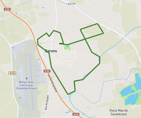
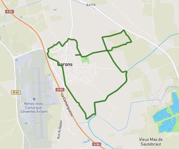
This running route covers 3.144mi starting from Crespian, Gard. The run is a loop trail and returns to the trailhead. This run is rated as easy, expect about 30m to complete it. The route has an elevation gain of 85ft and an elevation loss of 95ft.
Pc2
Route details
6.29mph
Speed
343 kcal
Calories burned
Loop trail
Route type
210ft
Min altitude
295ft
Max altitude
Route profile
85ft
Elevation gain
95ft
Elevation loss
210ft
Min altitude
295ft
Max altitude
How to get there
Trailhead: 156 Chemin Des Faisses, 30260 Crespian, France
GPS coordinates of the trailhead: 43.88248, 4.0991 / 43°52'56'' N, 4°5'56'' E