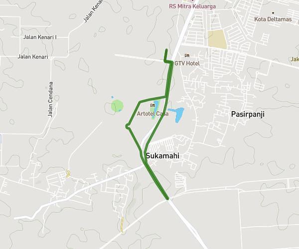
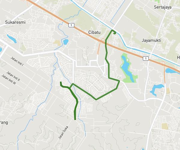
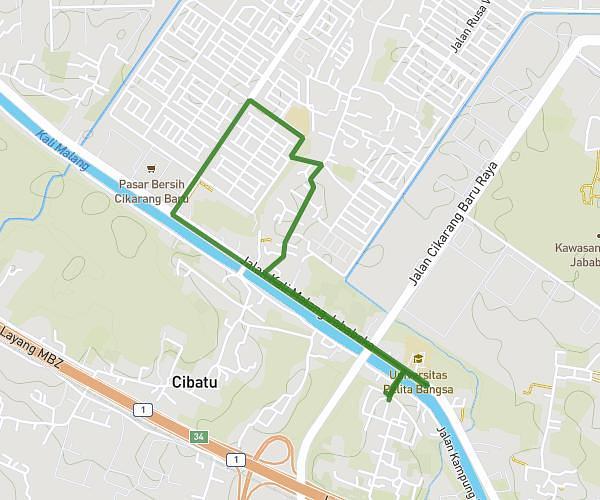
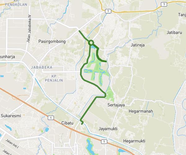
This running route covers 6.277mi starting from Bekasi, West Java. The run is a loop trail and returns to the trailhead. This run is rated as moderate, expect about 1h7m to complete it. The route has an elevation gain of 49ft and an elevation loss of 43ft.
Long run cibatu 10k
Route details
5.62mph
Speed
766 kcal
Calories burned
Loop trail
Route type
75ft
Min altitude
125ft
Max altitude
Route profile
49ft
Elevation gain
43ft
Elevation loss
75ft
Min altitude
125ft
Max altitude
How to get there
Trailhead: Cibatu, 17532, Cikarang Selatan, Bekasi, West Java, Indonesia
GPS coordinates of the trailhead: -6.325345, 107.167958 / 6°19'31'' S, 107°10'4'' E