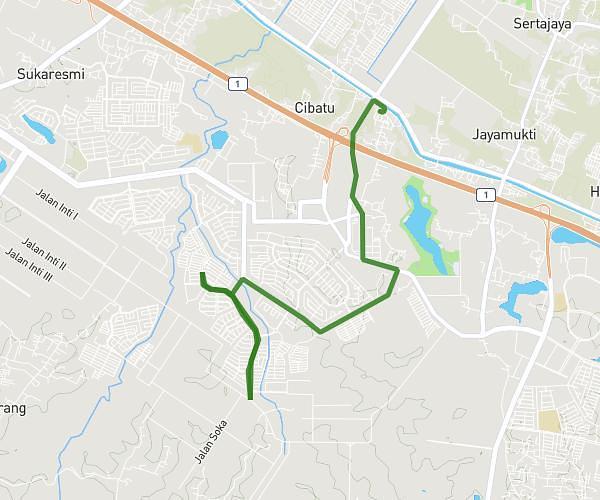
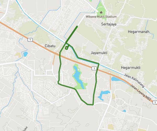
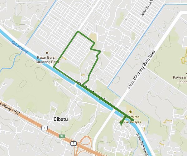
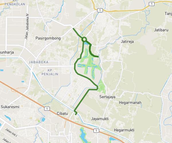
This running route covers 3.119mi starting from Bekasi, West Java. The run is a loop trail and returns to the trailhead. This run is rated as easy, expect about 33m to complete it. The route has an elevation gain of 43ft and an elevation loss of 46ft.
Tuesday 5k easy run
Route details
5.67mph
Speed
377 kcal
Calories burned
Loop trail
Route type
121ft
Min altitude
164ft
Max altitude
Route profile
43ft
Elevation gain
46ft
Elevation loss
121ft
Min altitude
164ft
Max altitude
How to get there
Trailhead: Sukamahi, 17531, Cikarang Pusat, Bekasi, West Java, Indonesia
GPS coordinates of the trailhead: -6.35914, 107.179299 / 6°21'32'' S, 107°10'45'' E