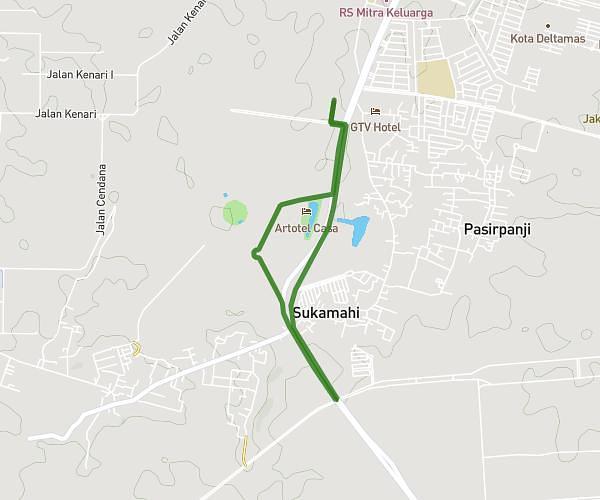
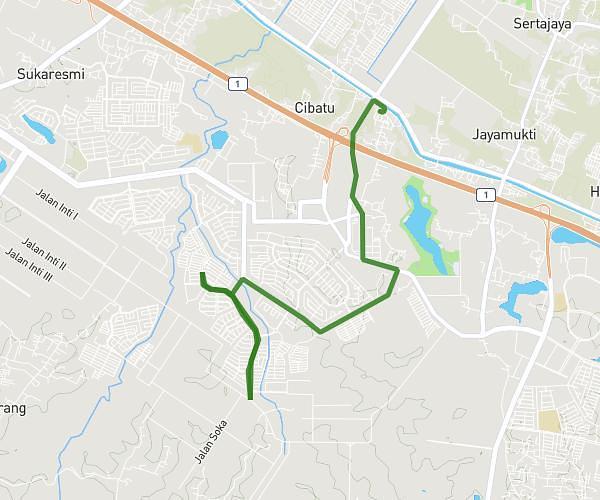
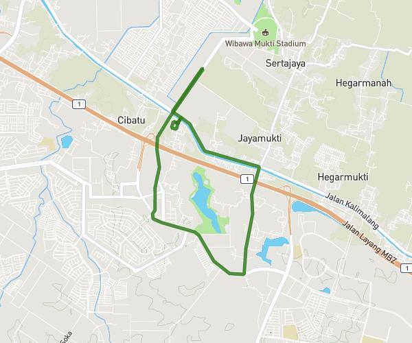
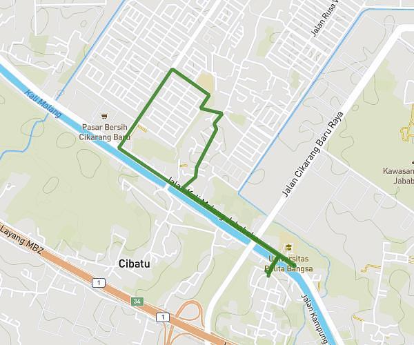
This running route covers 6.66mi starting from Bekasi, West Java. The run does not return to the trailhead and ends near Simpangan, 17534, Cikarang Utara, Bekasi, West Java, Indonesia. This run is rated as moderate, expect about 1h11m to complete it. The route has an elevation gain of 171ft and an elevation loss of 203ft.
Sunday morning 10k
Route details
5.63mph
Speed
812 kcal
Calories burned
Point to point
Route type
43ft
Min altitude
95ft
Max altitude
Route profile
171ft
Elevation gain
203ft
Elevation loss
43ft
Min altitude
95ft
Max altitude
How to get there
Trailhead: Cibatu, 17532, Cikarang Selatan, Bekasi, West Java, Indonesia
GPS coordinates of the trailhead: -6.325463, 107.168129 / 6°19'31'' S, 107°10'5'' E