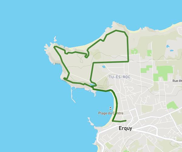
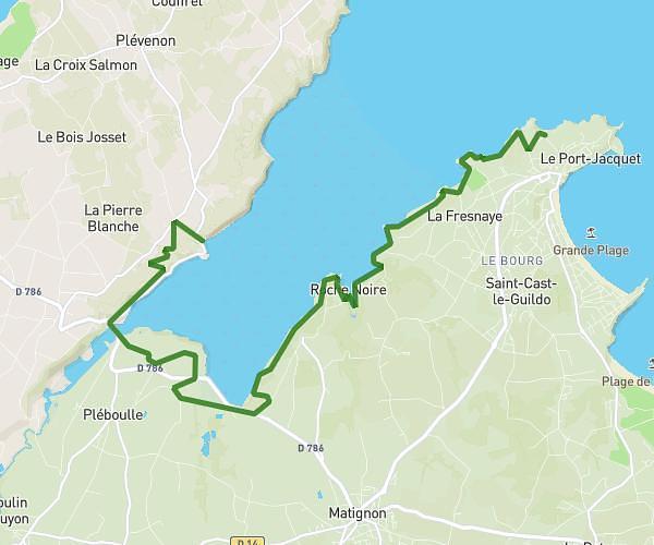
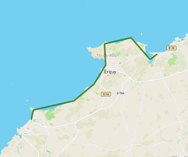
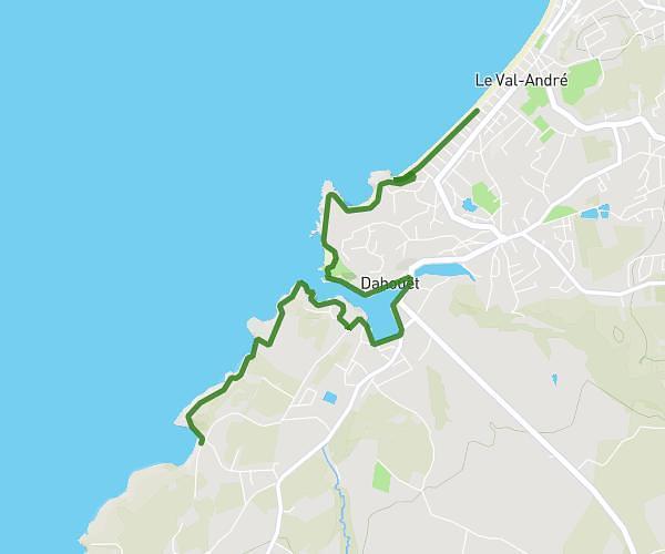
This hiking trail covers 15.204mi starting from Plévenon, Côtes-d'Armor. The hike is a loop trail and returns to the trailhead. This hike is rated as hard, plan for about 9h23m to complete it. The route has an elevation gain of 1332ft and an elevation loss of 1332ft.
boucle plevenon erquy
Route details
1.62mph
Speed
4052 kcal
Calories burned
3.3%
Avg grade
Loop trail
Route type
-13ft
Min altitude
220ft
Max altitude
Route profile
1332ft
Elevation gain
1332ft
Elevation loss
-13ft
Min altitude
220ft
Max altitude
How to get there
Trailhead: 43 Rue Des Vaux, 22240 Plévenon, France
GPS coordinates of the trailhead: 48.6633, -2.33982 / 48°39'47'' N, 2°20'23'' W