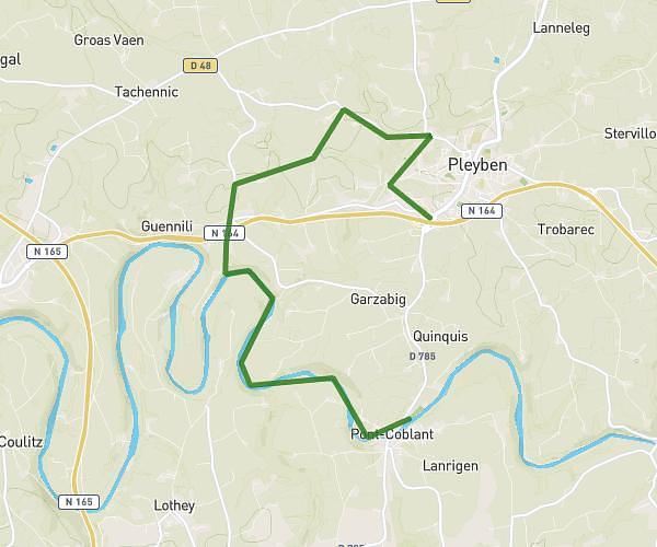
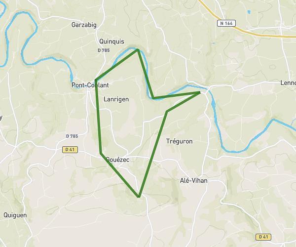
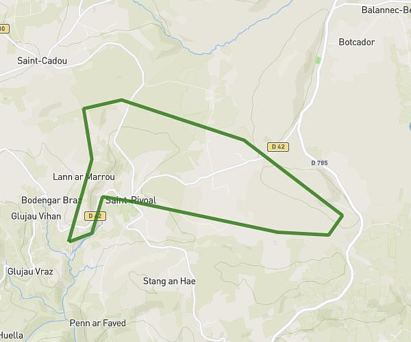
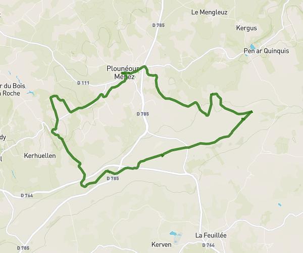
Explore this hiking route of 17.84km starting from Huelgoat, Finistère. The hike is a loop and returns to the starting point. This hike has no defined difficulty level, plan for about 6h51m to complete it. The route has a positive elevation gain of 392m and a negative elevation loss of 392m.
foret de huelgoat
Route details
Route profile
392m
Elevation +
392m
Elevation -
107m
Min altitude
258m
Max altitude
How to get there
Route starting point: Rue Du Général De Gaulle, 29690 Huelgoat
GPS coordinates of the starting point: 48.3627, -3.75169 / 48°21'45'' N, 3°45'6'' W
Calculate the time to reach the starting point from your location or an address