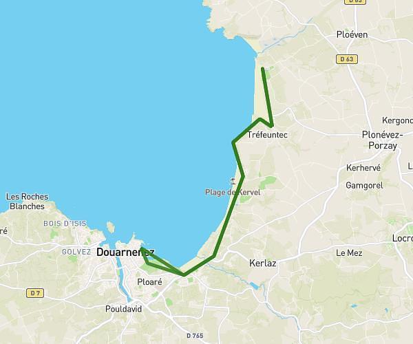
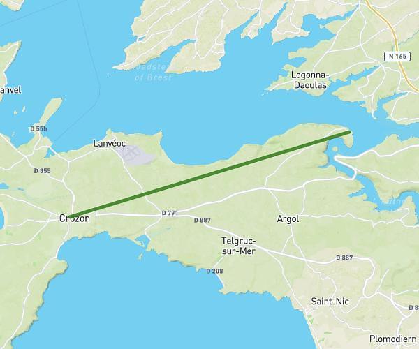
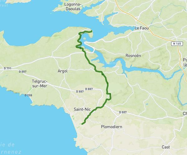
This hiking trail covers 9.1mi starting from Pleyben, Finistère. The hike does not return to the trailhead and ends near Rue Maurice De Trésiguidy, 29190 Pleyben. This hike is rated as moderate, plan for about 3h59m to complete it. The route has an elevation gain of 761ft and an elevation loss of 531ft.
Afternoon Hike
Route details
2.28mph
Speed
1719 kcal
Calories burned
2.7%
Avg grade
Point to point
Route type
69ft
Min altitude
384ft
Max altitude
Route profile
761ft
Elevation gain
531ft
Elevation loss
69ft
Min altitude
384ft
Max altitude
How to get there
Trailhead: Chemin De Halage Du Canal De Nantes À Brest, 29190 Pleyben
GPS coordinates of the trailhead: 48.19313, -3.98203 / 48°11'35'' N, 3°58'55'' W