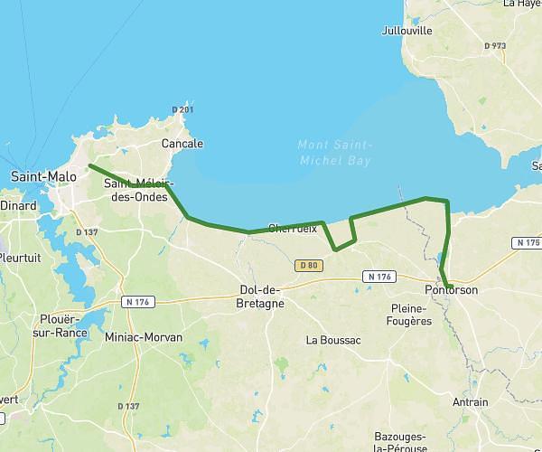
Explore this hiking route of 6.14km starting from Mont-Dol, Ille-et-Vilaine. The hike is a loop and returns to the starting point. This hike has no defined difficulty level, plan for about 2h13m to complete it. The route has a positive elevation gain of 100m and a negative elevation loss of 100m.
mont dol
Route details
Route profile
100m
Elevation +
100m
Elevation -
3m
Min altitude
63m
Max altitude
How to get there
Route starting point: Rue De L'église Saint-Pierre, 35120 Mont-Dol
GPS coordinates of the starting point: 48.56943, -1.76494 / 48°34'9'' N, 1°45'53'' W
Calculate the time to reach the starting point from your location or an address