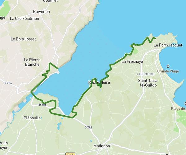
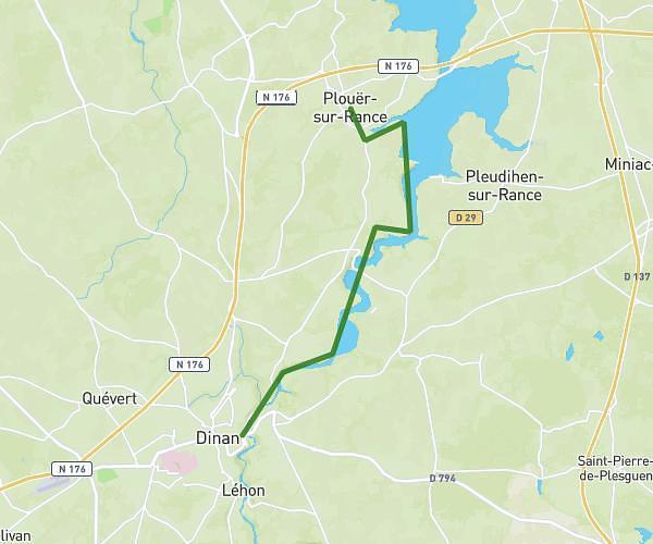
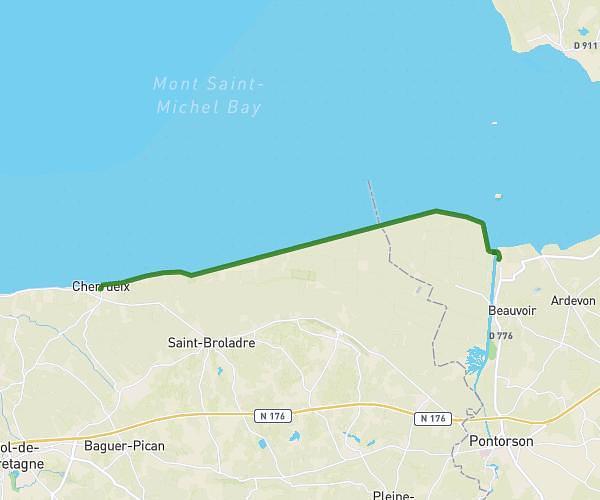
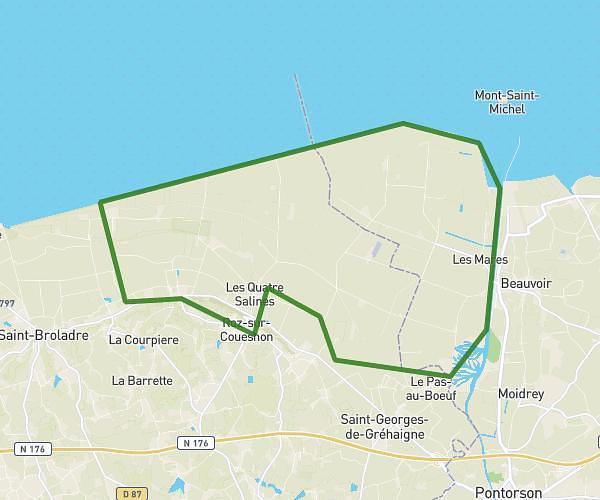
This hiking trail covers 13.355mi starting from Saint-Coulomb, Ille-et-Vilaine. The hike does not return to the trailhead and ends near Esplanade Saint-Vincent, 35400 Saint-Malo, France. This hike is rated as moderate, plan for about 4h46m to complete it. The route has an elevation gain of 735ft and an elevation loss of 728ft.
semi de novembre
Route details
2.8mph
Speed
2041 kcal
Calories burned
2.1%
Avg grade
Point to point
Route type
0ft
Min altitude
108ft
Max altitude
Route profile
735ft
Elevation gain
728ft
Elevation loss
0ft
Min altitude
108ft
Max altitude
How to get there
Trailhead: 2 Chemin Du Blé En Herbe, 35350 Saint-Coulomb, France
GPS coordinates of the trailhead: 48.6952, -1.91802 / 48°41'42'' N, 1°55'4'' W