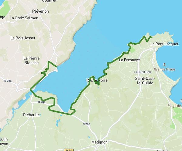
This hiking trail covers 9.289mi starting from Dinan, Côtes-d'Armor. The hike does not return to the trailhead and ends near 12 Place Alfred Lecointe, 22490 Plouër-sur-Rance, France. This hike is rated as moderate, plan for about 4h59m to complete it. The route has an elevation gain of 810ft and an elevation loss of 748ft.
De Dinan à Plouer sur Rance
Route details
1.86mph
Speed
2151 kcal
Calories burned
3.2%
Avg grade
Point to point
Route type
13ft
Min altitude
190ft
Max altitude
Route profile
810ft
Elevation gain
748ft
Elevation loss
13ft
Min altitude
190ft
Max altitude
How to get there
Trailhead: 17 Rue Michel, 22100 Dinan, France
GPS coordinates of the trailhead: 48.454579, -2.039274 / 48°27'16'' N, 2°2'21'' W