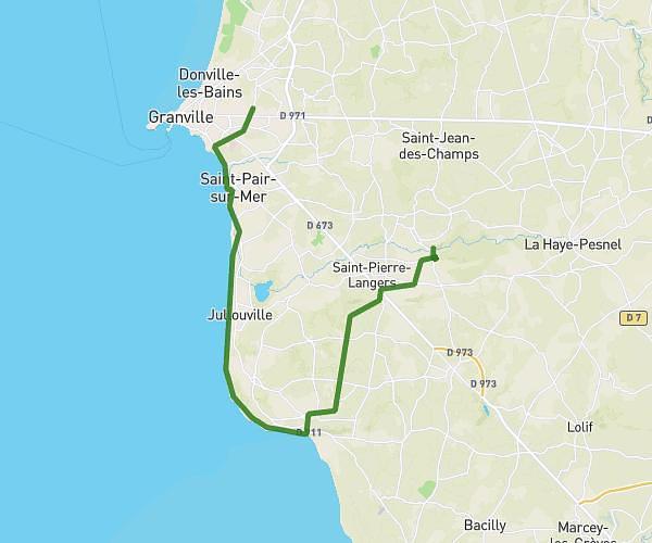
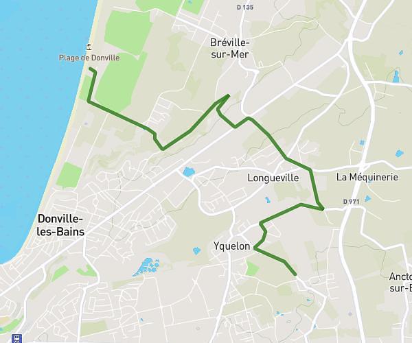
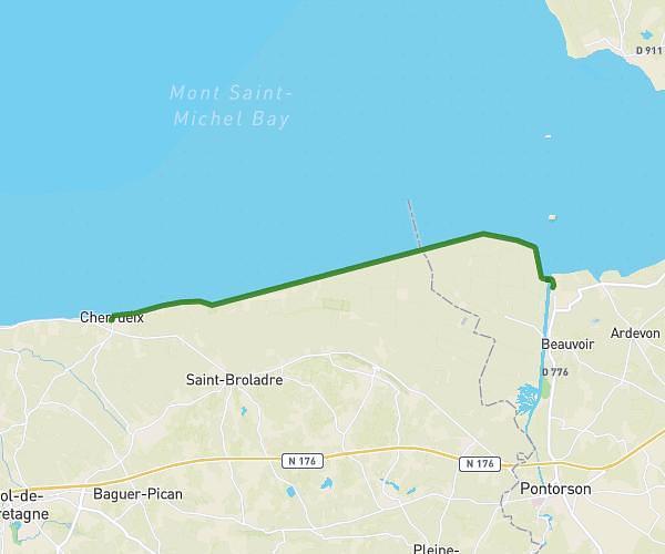
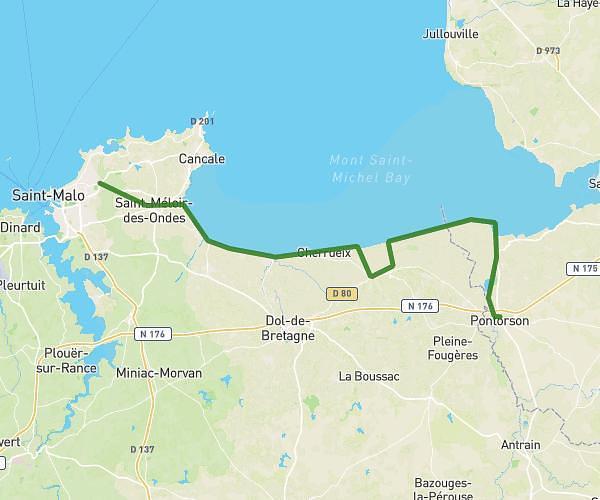
This hiking trail covers 18.512mi starting from Roz-sur-Couesnon, Ille-et-Vilaine. The hike is a loop trail and returns to the trailhead. This hike is rated as moderate, plan for about 6h11m to complete it. The route has an elevation gain of 509ft and an elevation loss of 512ft.
LE MONT SAINT MICHEL
Route details
3.0mph
Speed
2620 kcal
Calories burned
1.0%
Avg grade
Loop trail
Route type
10ft
Min altitude
253ft
Max altitude
Route profile
509ft
Elevation gain
512ft
Elevation loss
10ft
Min altitude
253ft
Max altitude
How to get there
Trailhead: 33 Rue Fée Des Grèves, 35610 Roz-sur-Couesnon, France
GPS coordinates of the trailhead: 48.587459, -1.589617 / 48°35'14'' N, 1°35'22'' W