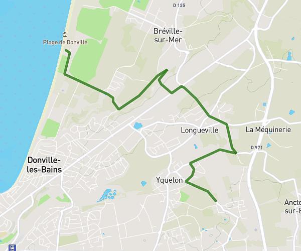
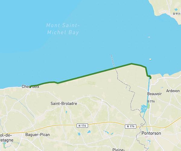
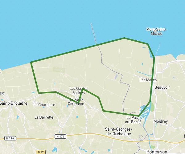
This hiking trail covers 17.736mi starting from Yquelon, Manche. The hike does not return to the trailhead and ends near 4 Route De L'épine, 50320 Saint-Jean-des-Champs, France. This hike is rated as strenuous, plan for about 6h6m to complete it. The route has an elevation gain of 1916ft and an elevation loss of 1942ft.
Debut
Route details
2.91mph
Speed
2649 kcal
Calories burned
4.1%
Avg grade
Point to point
Route type
20ft
Min altitude
344ft
Max altitude
Route profile
1916ft
Elevation gain
1942ft
Elevation loss
20ft
Min altitude
344ft
Max altitude
How to get there
Trailhead: Rond-Point Arnaud Lepont, 50400 Yquelon, France
GPS coordinates of the trailhead: 48.840398, -1.559193 / 48°50'25'' N, 1°33'33'' W