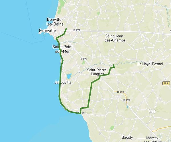
This hiking trail covers 3.531mi starting from Yquelon, Manche. The hike does not return to the trailhead and ends near 3 Impasse Des Dunes, 50290 Bréville-sur-Mer, France. This hike is rated as easy, plan for about 1h8m to complete it. The route has an elevation gain of 282ft and an elevation loss of 377ft.
Plage par chemin
Route details
3.11mph
Speed
489 kcal
Calories burned
3.5%
Avg grade
Point to point
Route type
13ft
Min altitude
207ft
Max altitude
Route profile
282ft
Elevation gain
377ft
Elevation loss
13ft
Min altitude
207ft
Max altitude
How to get there
Trailhead: 477 Rue Des Fontaines, 50400 Yquelon, France
GPS coordinates of the trailhead: 48.84437, -1.548607 / 48°50'39'' N, 1°32'54'' W