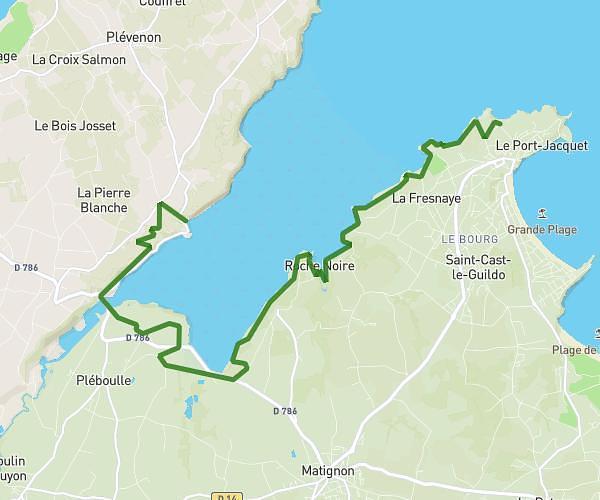
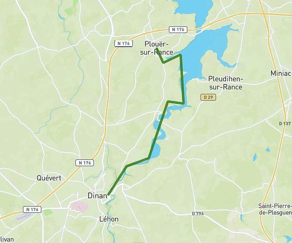
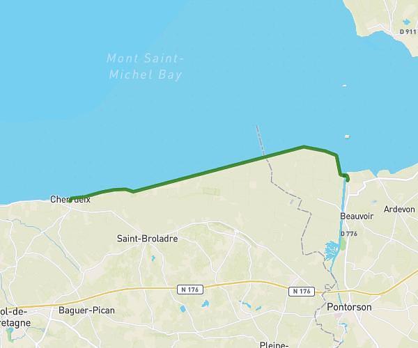
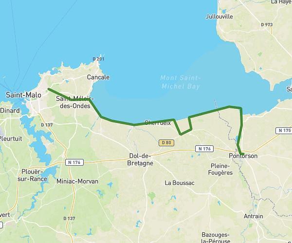
This hiking trail covers 60.661mi starting from Saint-Malo, Ille-et-Vilaine. The hike does not return to the trailhead and ends near 4 Rue De La Pointe De Rohain, 22240 Plévenon, France. This hike is rated as strenuous, plan for about 13h56m to complete it. The route has an elevation gain of 1929ft and an elevation loss of 1772ft.
Description of the route by the creator
St Malo Cap Frehel