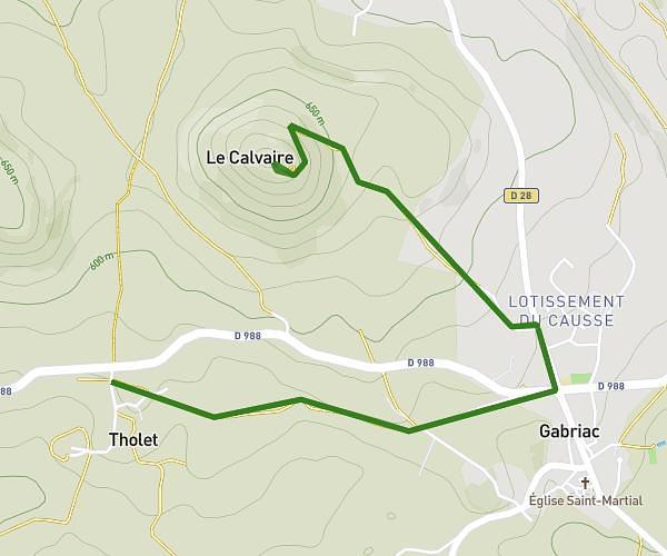
This running route covers 6.114mi starting from Banassac-Canilhac, Lozère. The run is a loop trail and returns to the trailhead. This run is rated as moderate, expect about 1h10m to complete it. The route has an elevation gain of 827ft and an elevation loss of 827ft.
Fel
Route details
5.24mph
Speed
800 kcal
Calories burned
Loop trail
Route type
1670ft
Min altitude
2313ft
Max altitude
Route profile
827ft
Elevation gain
827ft
Elevation loss
1670ft
Min altitude
2313ft
Max altitude
How to get there
Trailhead: D 988, 48500 Banassac-Canilhac, France
GPS coordinates of the trailhead: 44.43576, 3.14572 / 44°26'8'' N, 3°8'44'' E