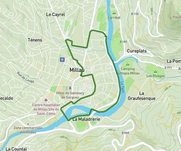
This running route covers 10.952mi starting from Massegros Causses Gorges, Lozère. The run is a loop trail and returns to the trailhead. This run is rated as hard, expect about 2h30m to complete it. The route has an elevation gain of 312ft and an elevation loss of 292ft.
saint rome de dolan 18 km
Route details
4.38mph
Speed
1715 kcal
Calories burned
Loop trail
Route type
2664ft
Min altitude
2956ft
Max altitude
Route profile
312ft
Elevation gain
292ft
Elevation loss
2664ft
Min altitude
2956ft
Max altitude
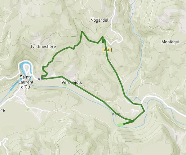
How to get there
Trailhead: Route De Cauvel, 48500 Massegros Causses Gorges
GPS coordinates of the trailhead: 44.27314, 3.21044 / 44°16'23'' N, 3°12'37'' E