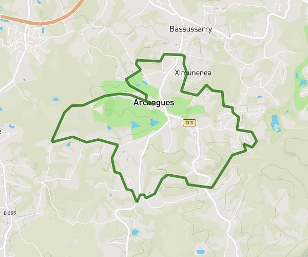
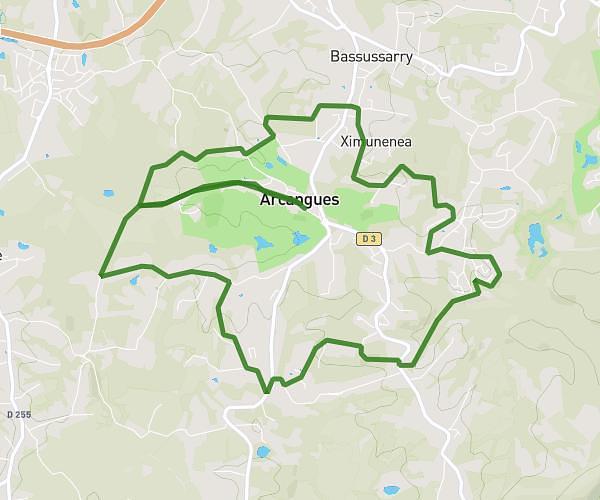
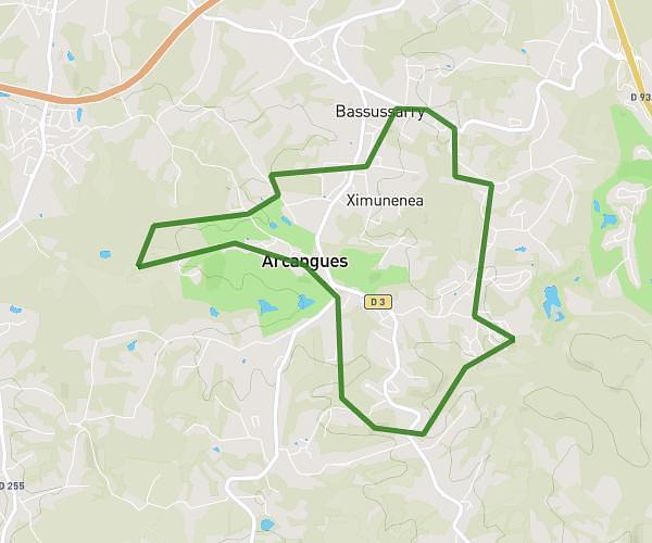
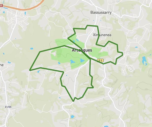
This running route covers 6.708mi starting from Irun, Gipuzkoa. The run is a loop trail and returns to the trailhead. This run is rated as moderate, expect about 1h5m to complete it. The route has an elevation gain of 282ft and an elevation loss of 892ft.
Aiako Harria
Route details
6.19mph
Speed
743 kcal
Calories burned
Loop trail
Route type
787ft
Min altitude
1680ft
Max altitude
Route profile
282ft
Elevation gain
892ft
Elevation loss
787ft
Min altitude
1680ft
Max altitude
How to get there
Trailhead: Gi-3454, 20305 Irun, Gipuzkoa, Spain
GPS coordinates of the trailhead: 43.30498, -1.75597 / 43°18'17'' N, 1°45'21'' W