MapPlanner
9.191mi
Distance
2h45m
Duration
17:57/mi
Pace
Easy
Level

Workday routes together

Route details

17:57/mi
Pace
674 kcal
Calories burned
Loop trail
Route type
364ft
Min altitude
400ft
Max altitude

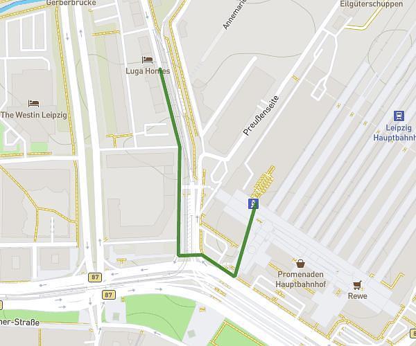
This walking route covers 9.191mi starting from Leipzig, Saxony. The walk is a loop trail and returns to the trailhead. This walk is rated as easy, plan for about 2h45m to complete it. The route has an elevation gain of 36ft and an elevation loss of 36ft.

Description of the route by the creator

Just did the three routes I use to walk during the week into a single longer one

Route profile

36ft
Elevation gain
36ft
Elevation loss
364ft
Min altitude
400ft
Max altitude

How to get there

Trailhead: Max-Beckmann-Straße, 04109 Leipzig

GPS coordinates of the trailhead: 51.3377, 12.36559 / 51°20'15'' N, 12°21'56'' E

Caution: May Cross Private Property

This route may pass through or near private property. Always respect posted signs, obtain permission where required, and follow local trespassing laws. MapPlanner does not guarantee public access along any route.

Safety Notice

Trail and road conditions may change without notice due to weather, construction, or other factors. Always verify current conditions before heading out. You are responsible for your own safety — follow local signage, obey traffic laws, and use your best judgment on the trail.