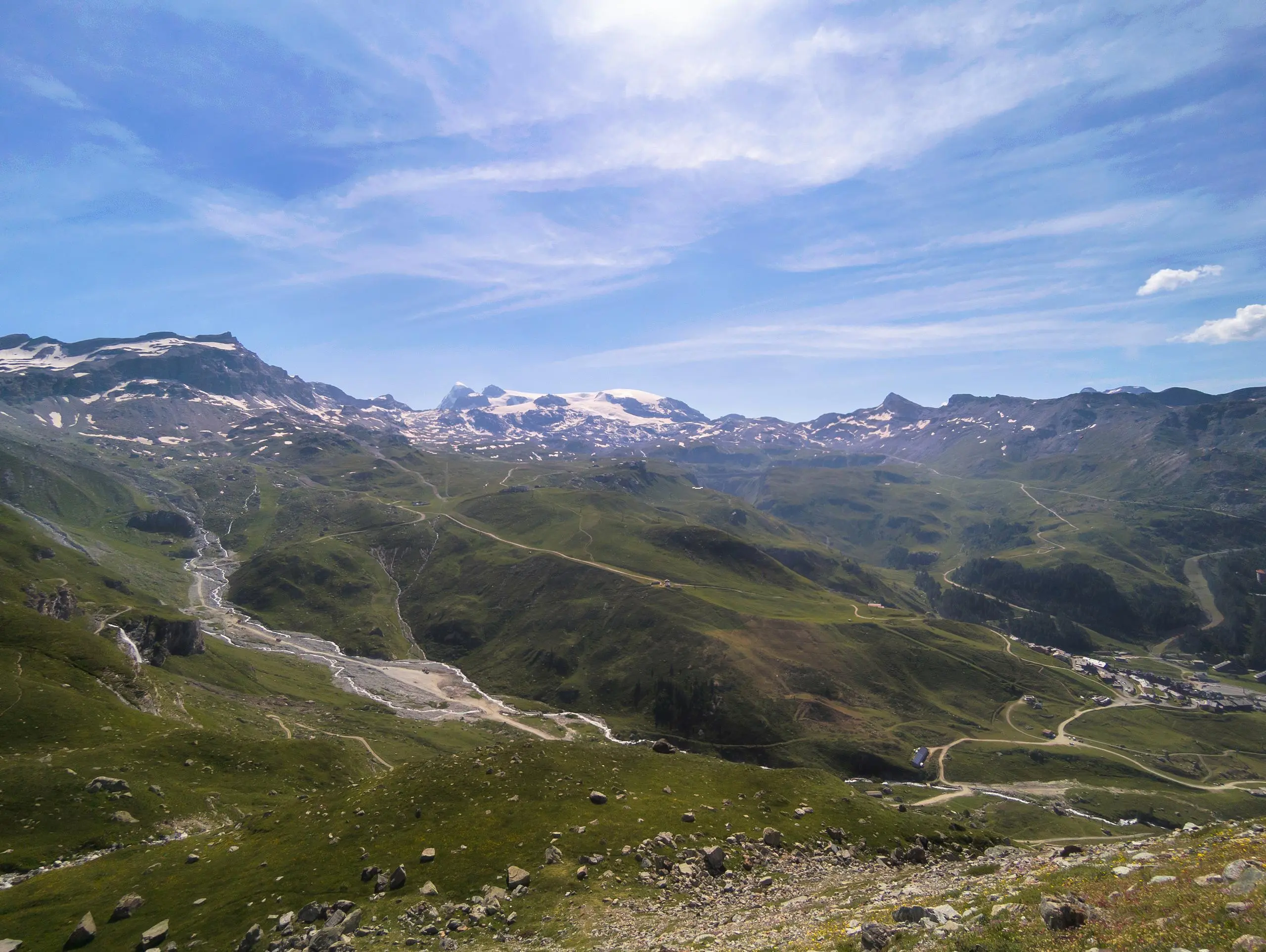
This hiking trail covers 7.703mi starting from Valtournenche, Aosta Valley. The hike does not return to the trailhead and ends near Plan Maison-Cervinia, 11021 Valtournenche Aosta Valley, Italy. This hike is rated as hard, plan for about 3h30m to complete it. The route has an elevation gain of 3192ft and an elevation loss of 1352ft.
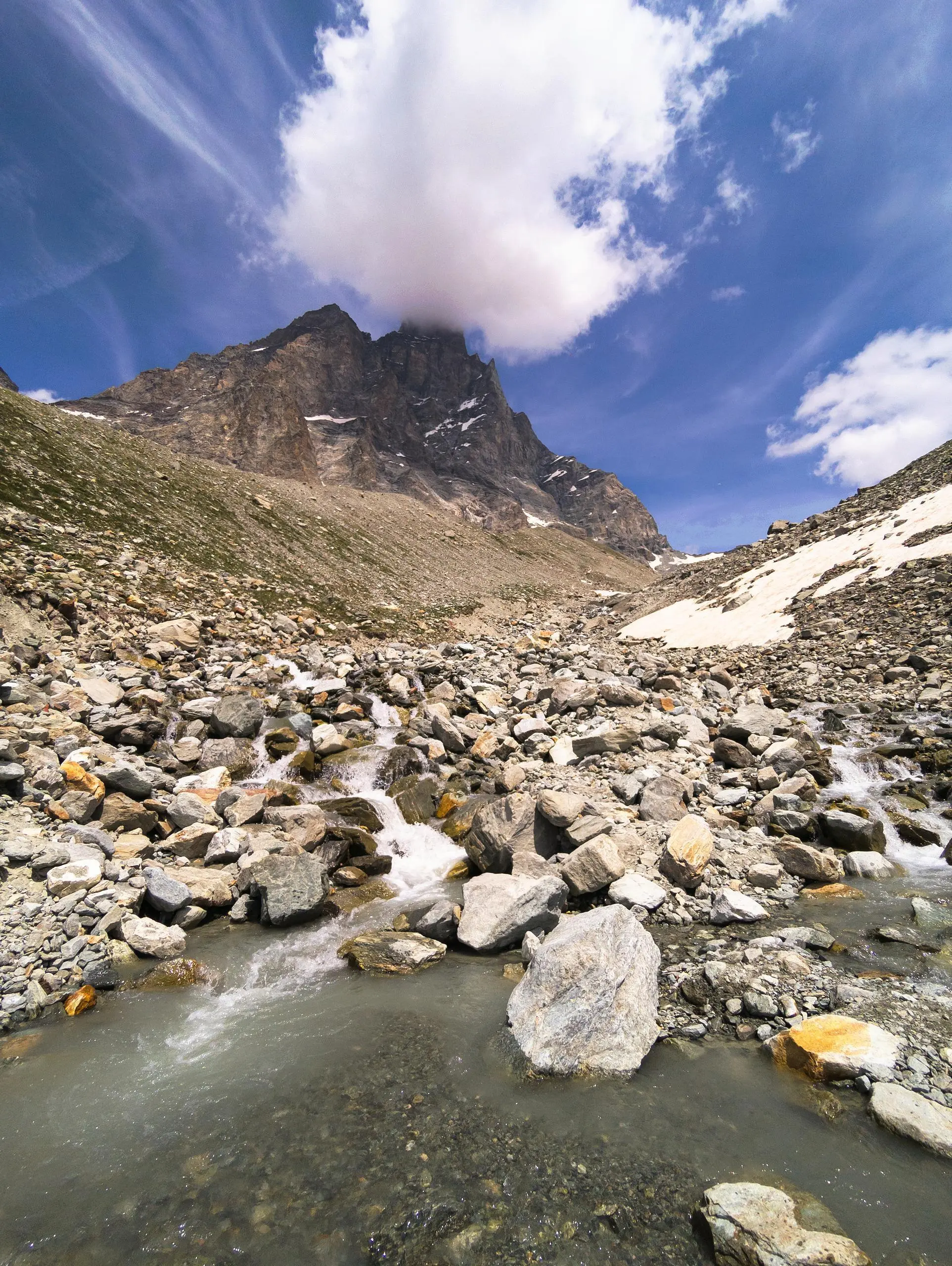
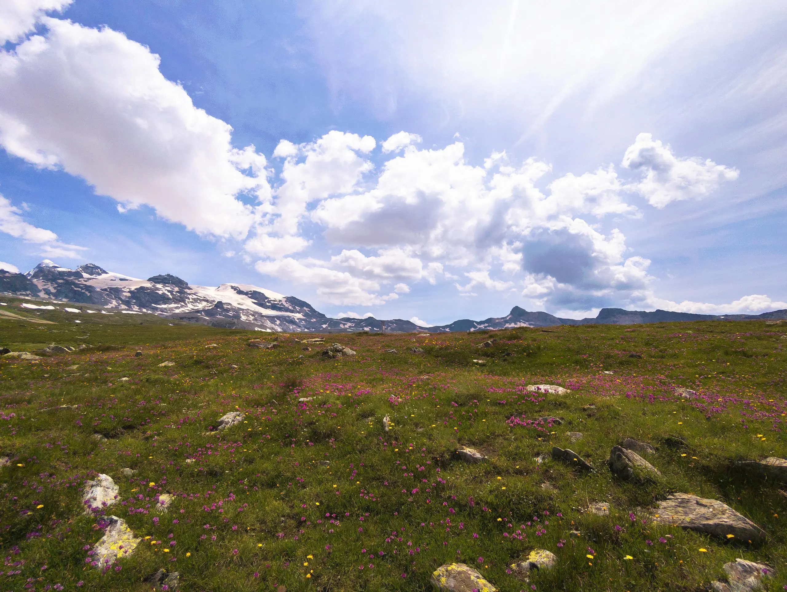
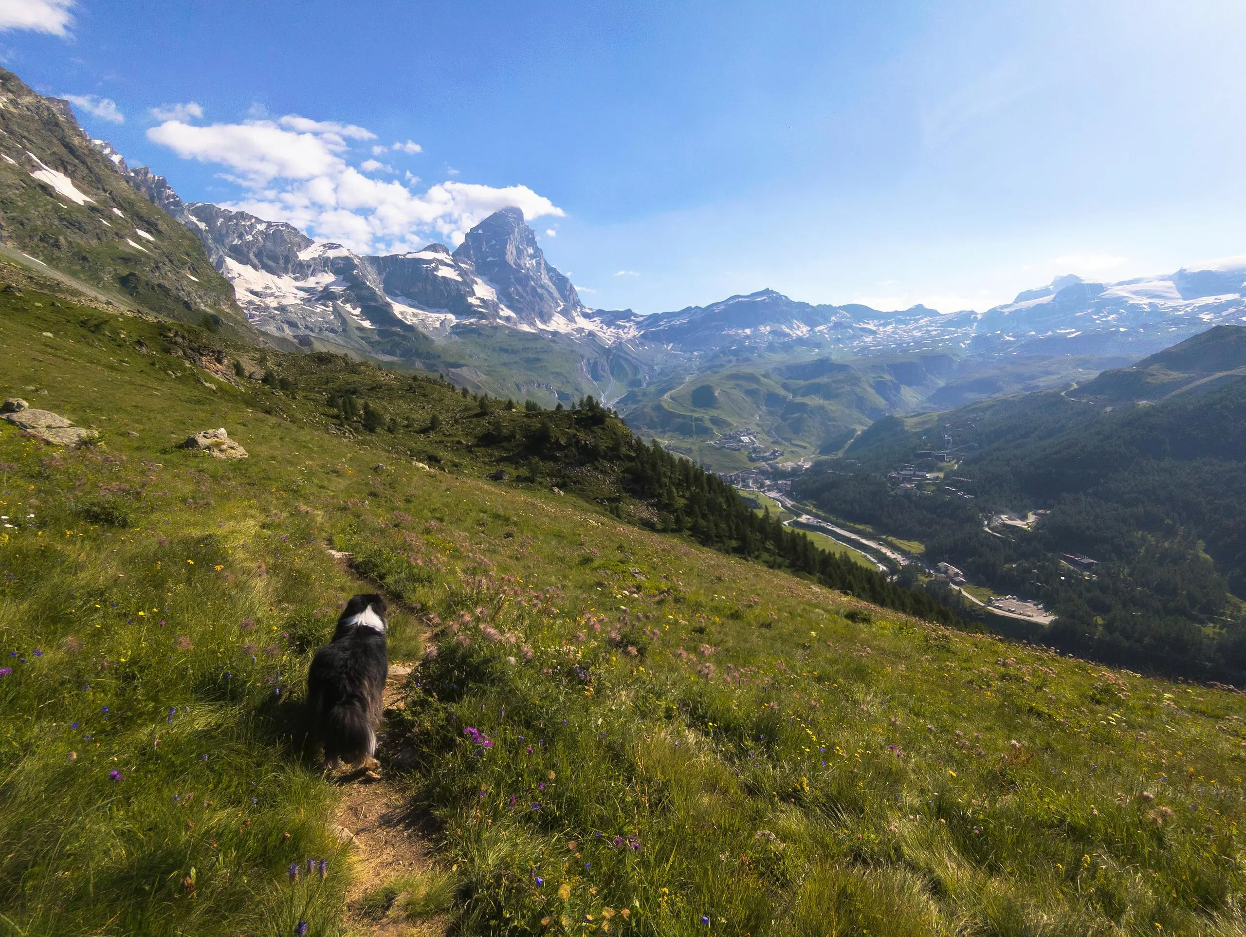
Breuil - Cervinia : Tour de la station

Route details
2.2mph
Speed
1662 kcal
Calories burned
11.2%
Avg grade
Point to point
Route type
6460ft
Min altitude
9196ft
Max altitude
High altitude
Steep climb
Route profile
3192ft
Elevation gain
1352ft
Elevation loss
6460ft
Min altitude
9196ft
Max altitude
How to get there
Trailhead: Sr46, 11021 Valtournenche Aosta Valley, Italy
GPS coordinates of the trailhead: 45.92737, 7.62175 / 45°55'38'' N, 7°37'18'' E