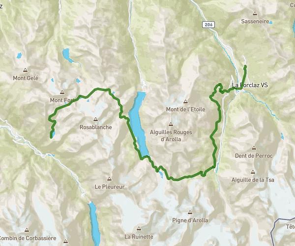
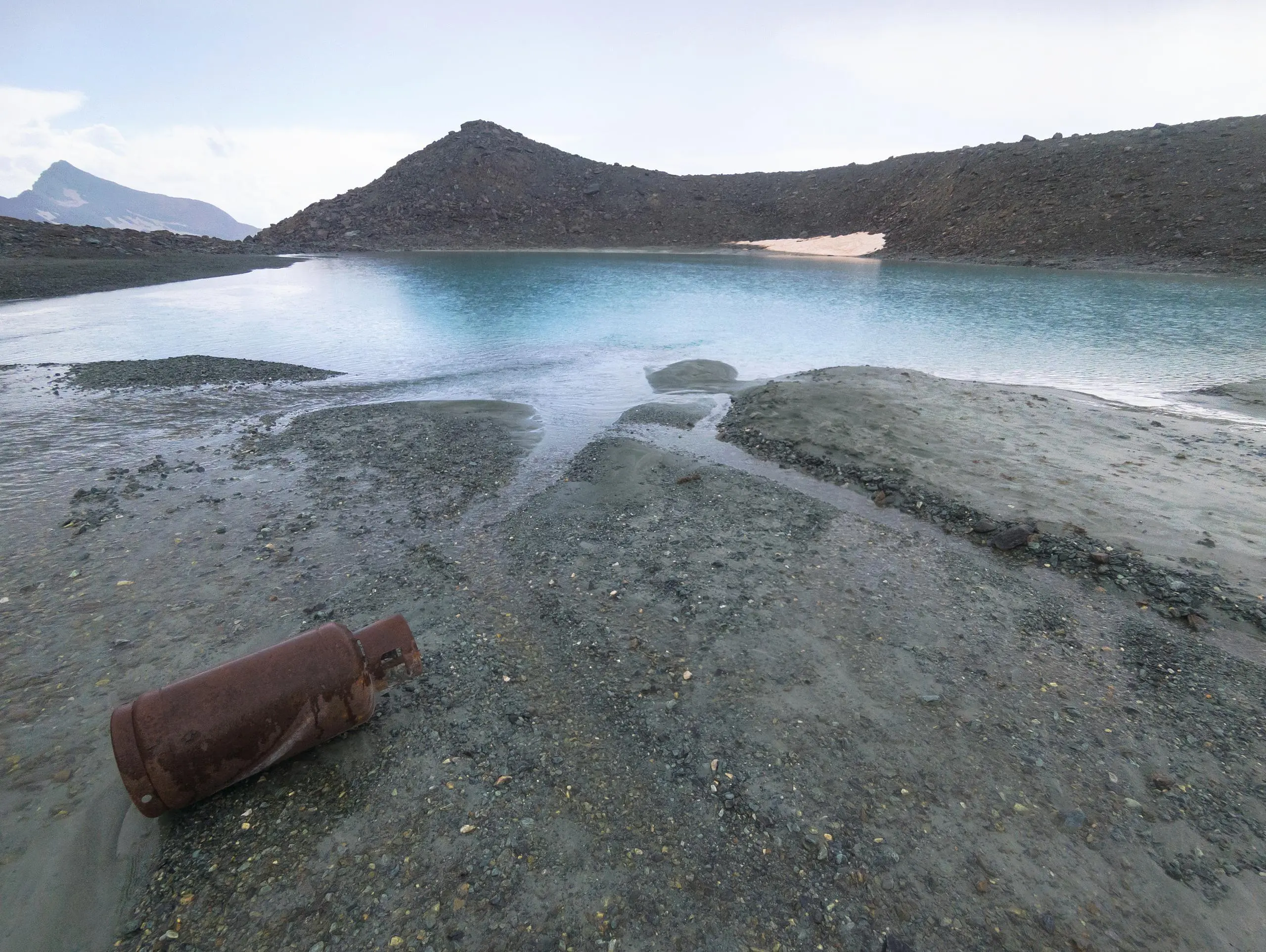
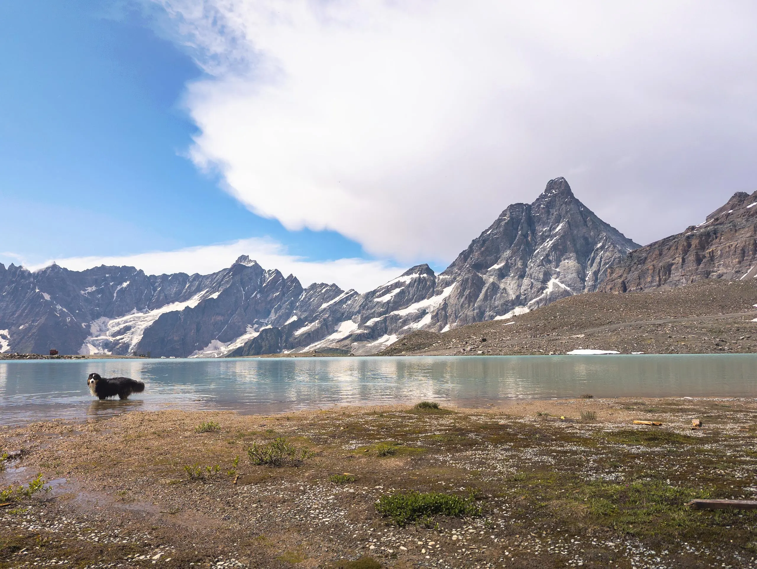
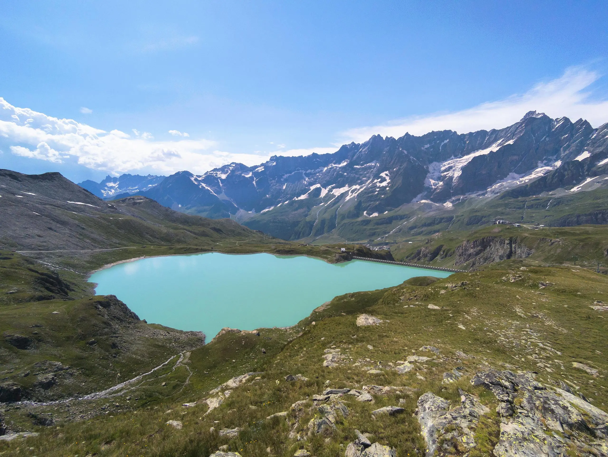
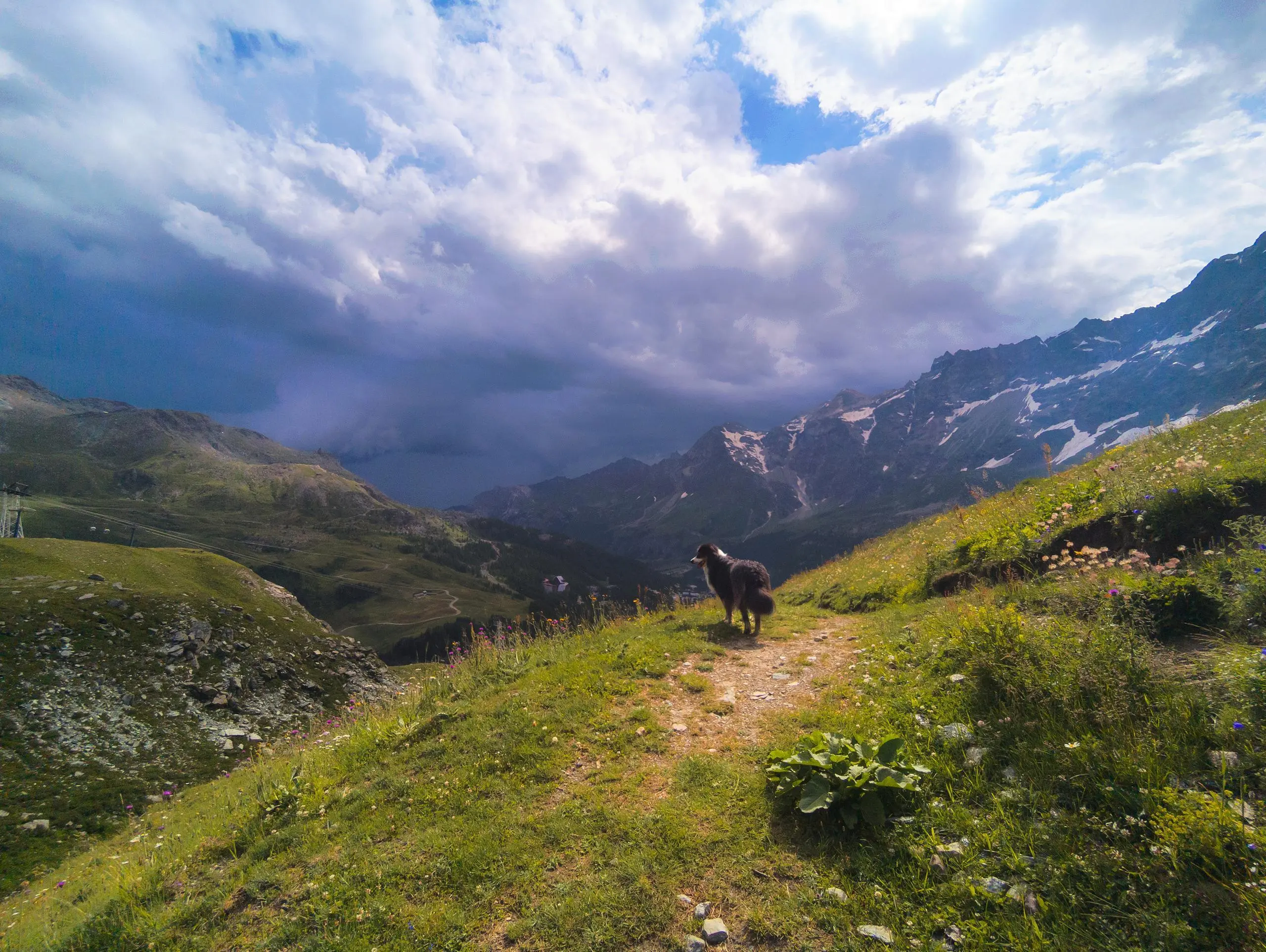
This hiking trail covers 6.793mi starting from Valtournenche, Aosta Valley. The hike is a loop trail and returns to the trailhead. This hike is rated as strenuous, plan for about 3h5m to complete it. The route has an elevation gain of 2152ft and an elevation loss of 2152ft.
Breuil - Cervinia : Tour des lacs
Route details
2.21mph
Speed
1425 kcal
Calories burned
12.0%
Avg grade
Loop trail
Route type
8287ft
Min altitude
9888ft
Max altitude
High altitude
Steep climb
Route profile
2152ft
Elevation gain
2152ft
Elevation loss
8287ft
Min altitude
9888ft
Max altitude
How to get there
Trailhead: Plan Maison-Cervinia, 11021 Valtournenche Aosta Valley, Italy
GPS coordinates of the trailhead: 45.94128, 7.65491 / 45°56'28'' N, 7°39'17'' E