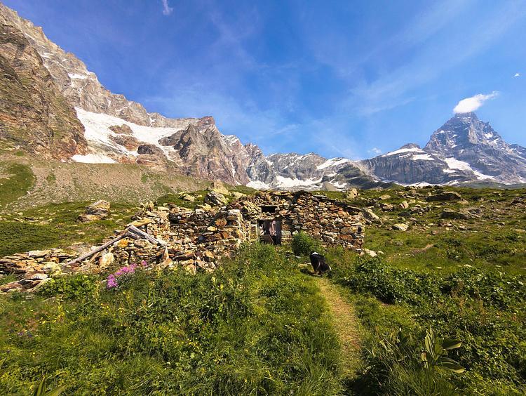
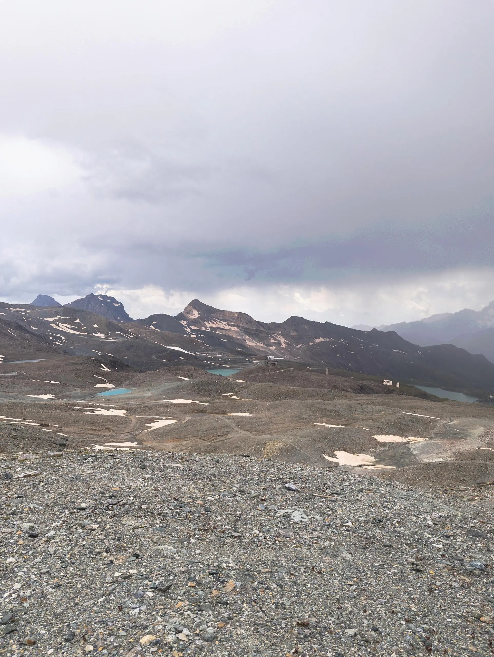
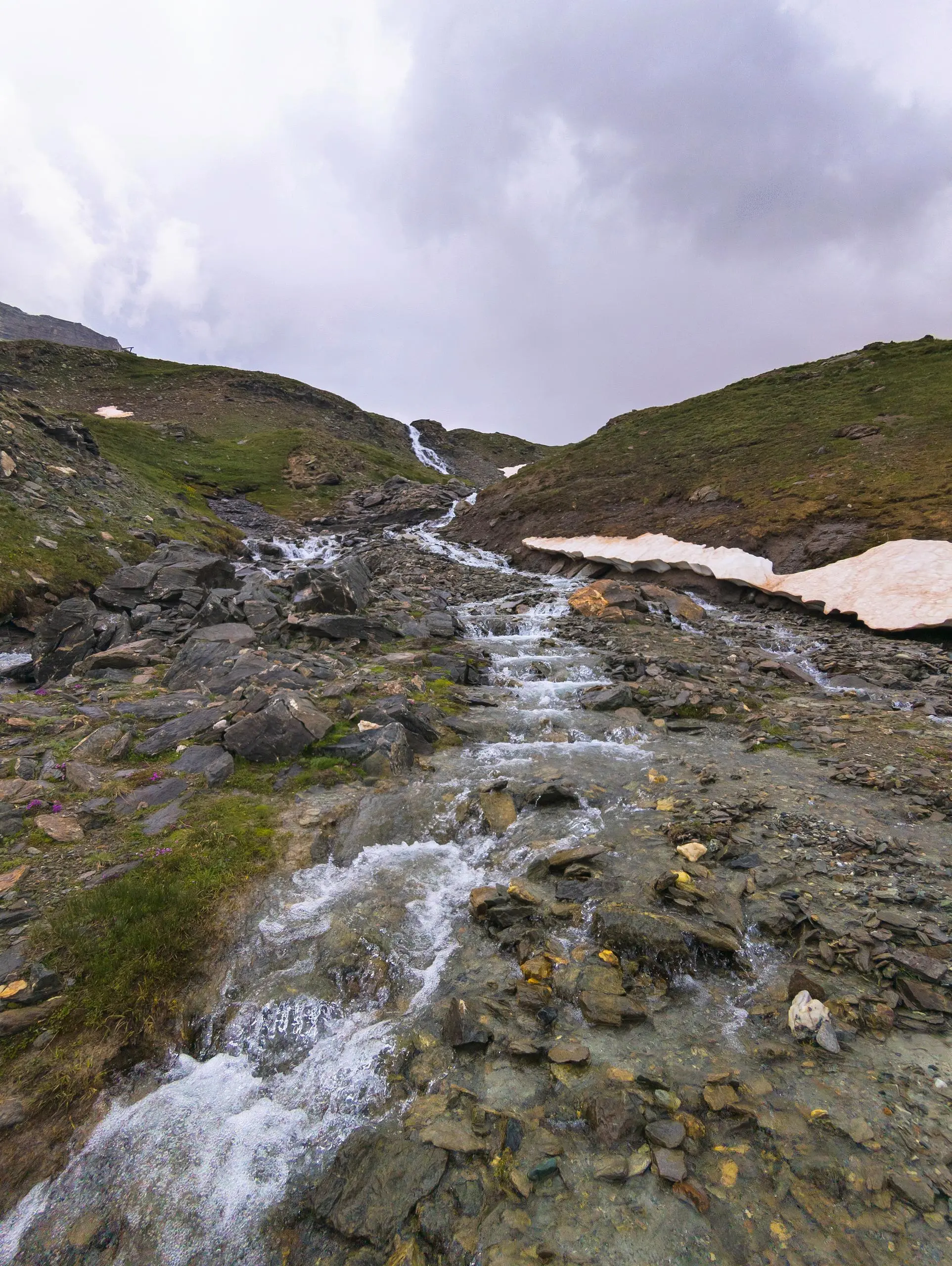
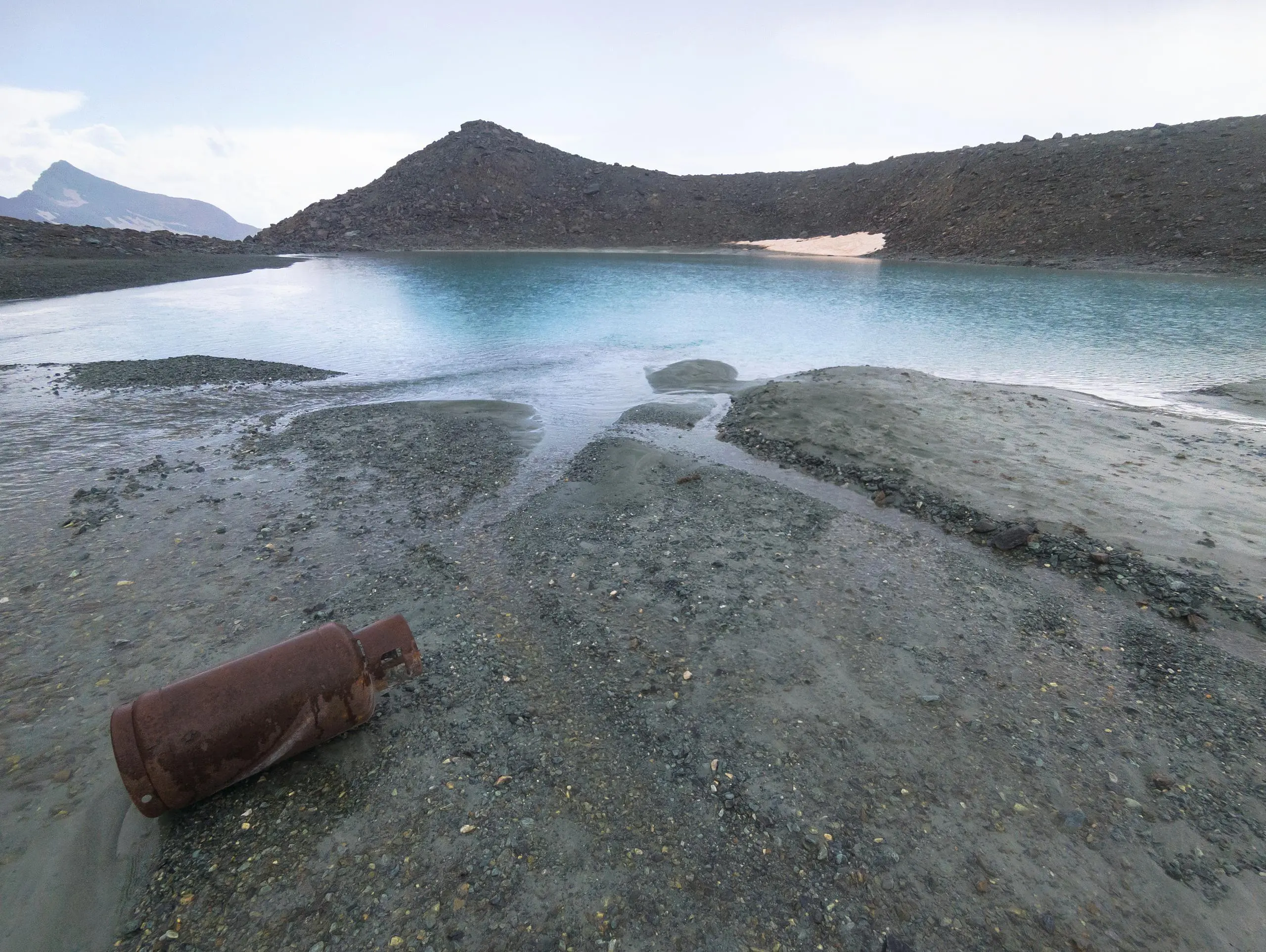
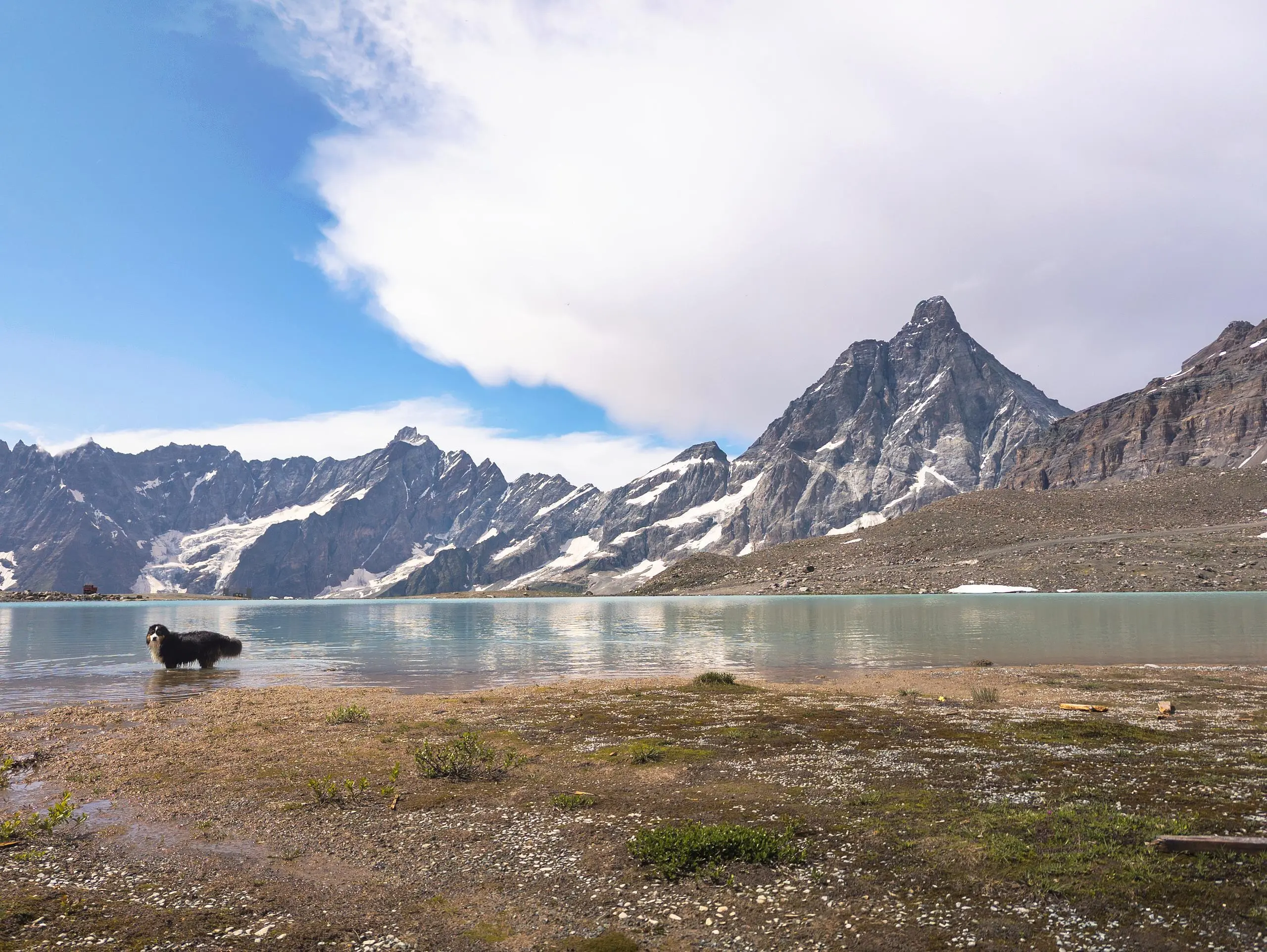
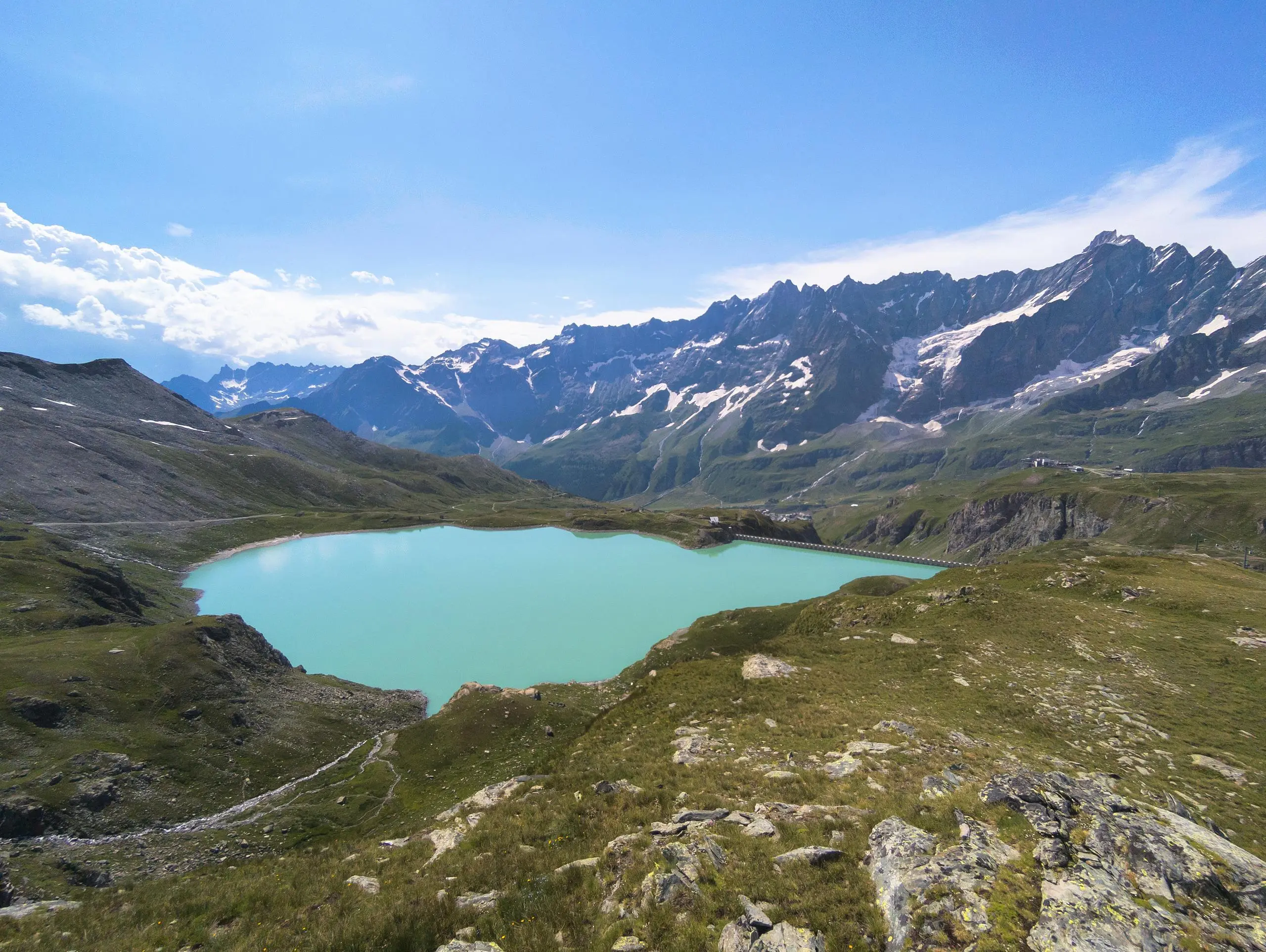
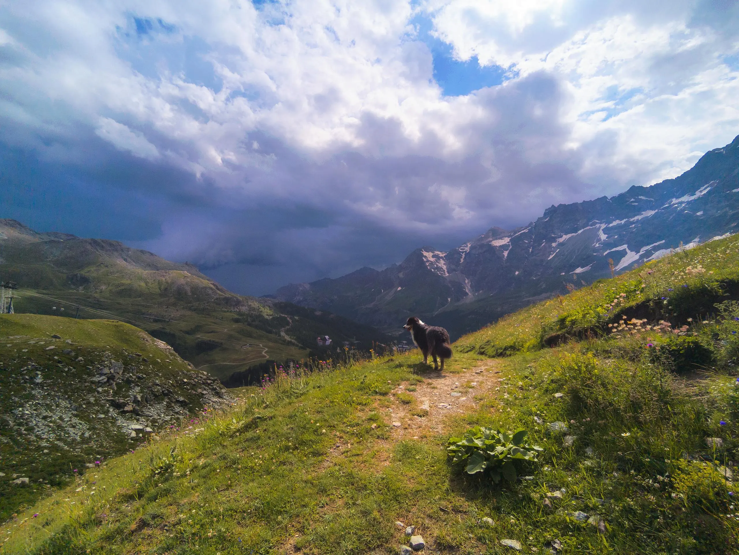
Explore this hiking route of 10.93km starting from Valtournenche, Aosta Valley. The hike is a loop and returns to the starting point. This hike has no defined difficulty level, plan for about 3h5m to complete it. The route has a positive elevation gain of 656m and a negative elevation loss of 656m.
Breuil - Cervinia : Tour des lacs
Route details
Route profile
656m
Elevation +
656m
Elevation -
2526m
Min altitude
3014m
Max altitude
How to get there
Route starting point: Plan Maison (Cervinia), 11021 Valtournenche
GPS coordinates of the starting point: 45.94128, 7.65491 / 45°56'28'' N, 7°39'17'' E
Calculate the time to reach the starting point from your location or an address