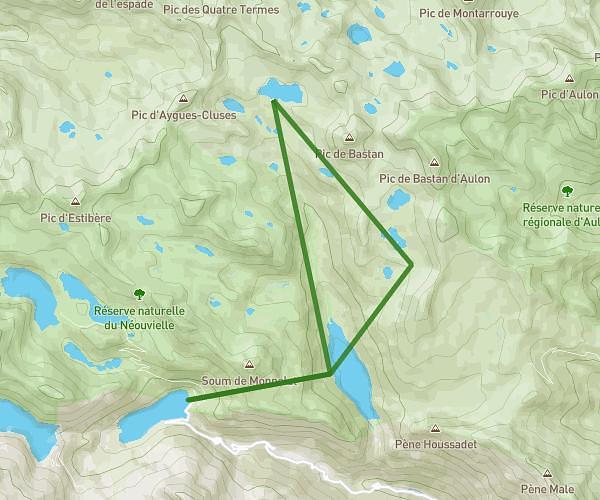
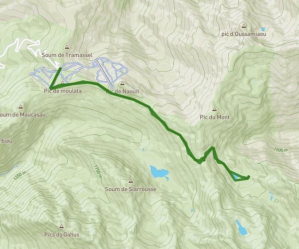
MapPlanner
5.519mi
Distance
4h20m
Duration
1.27mph
Speed
1086ft
Elevation +
1086ft
Elevation -
4915ft
Min altitude
5850ft
Max altitude

Pont d'Espagne et lac de Gaube

Waterfall near the bridge of Spain
The waterfalls of the bridge of Spain
Lake of Gaube
Lake of Gaube
Lake of Gaube
Lake of Gaube
High view of the lake of Gaube

Route details

Explore this hiking route of 5.519mi starting from Cauterets, Hautes-Pyrénées. The hike is a loop and returns to the starting point. This hike has no defined difficulty level, plan for about 4h20m to complete it. The route has a positive elevation gain of 1086ft and a negative elevation loss of 1086ft.

Description of the route by the creator

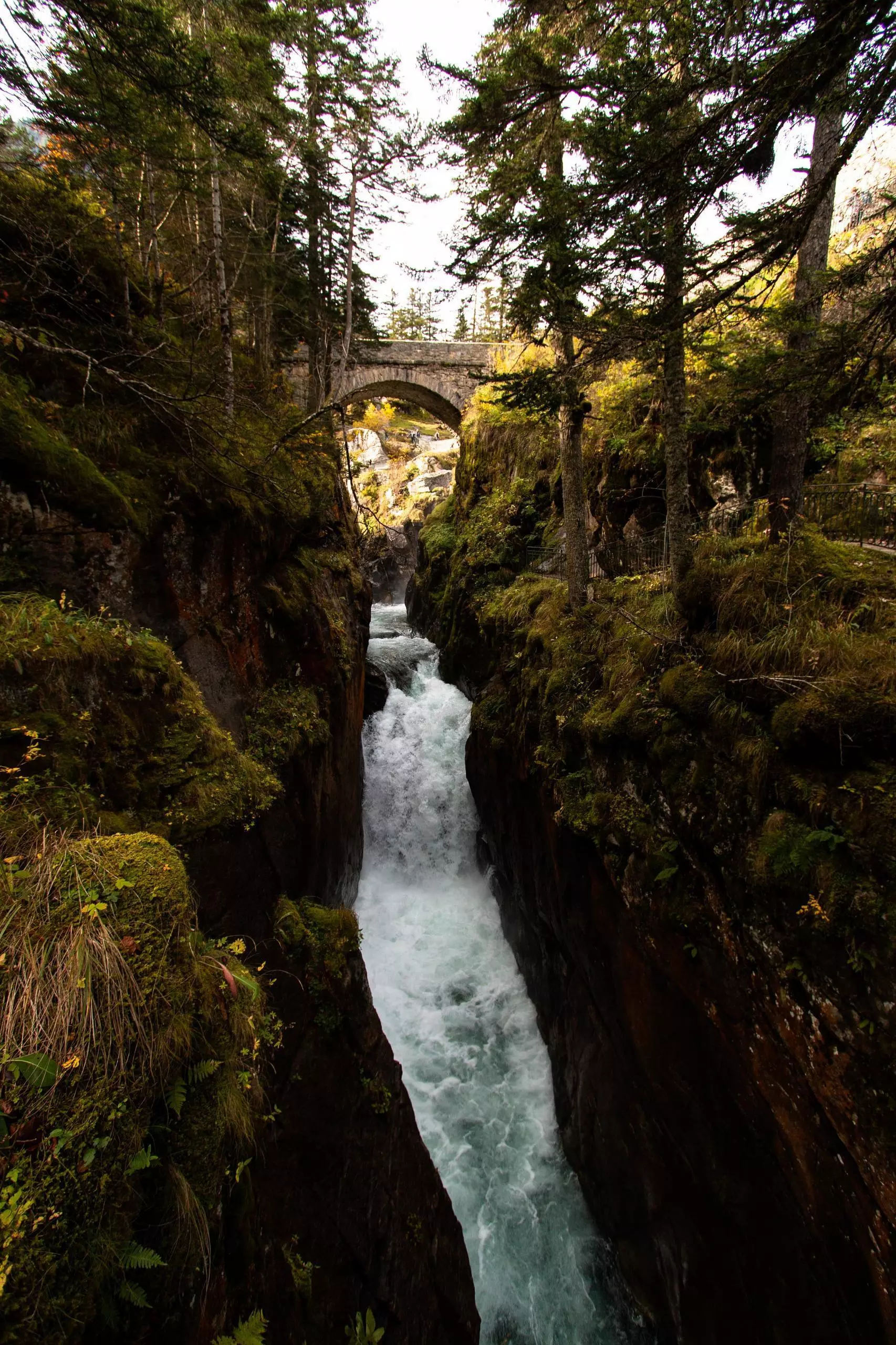
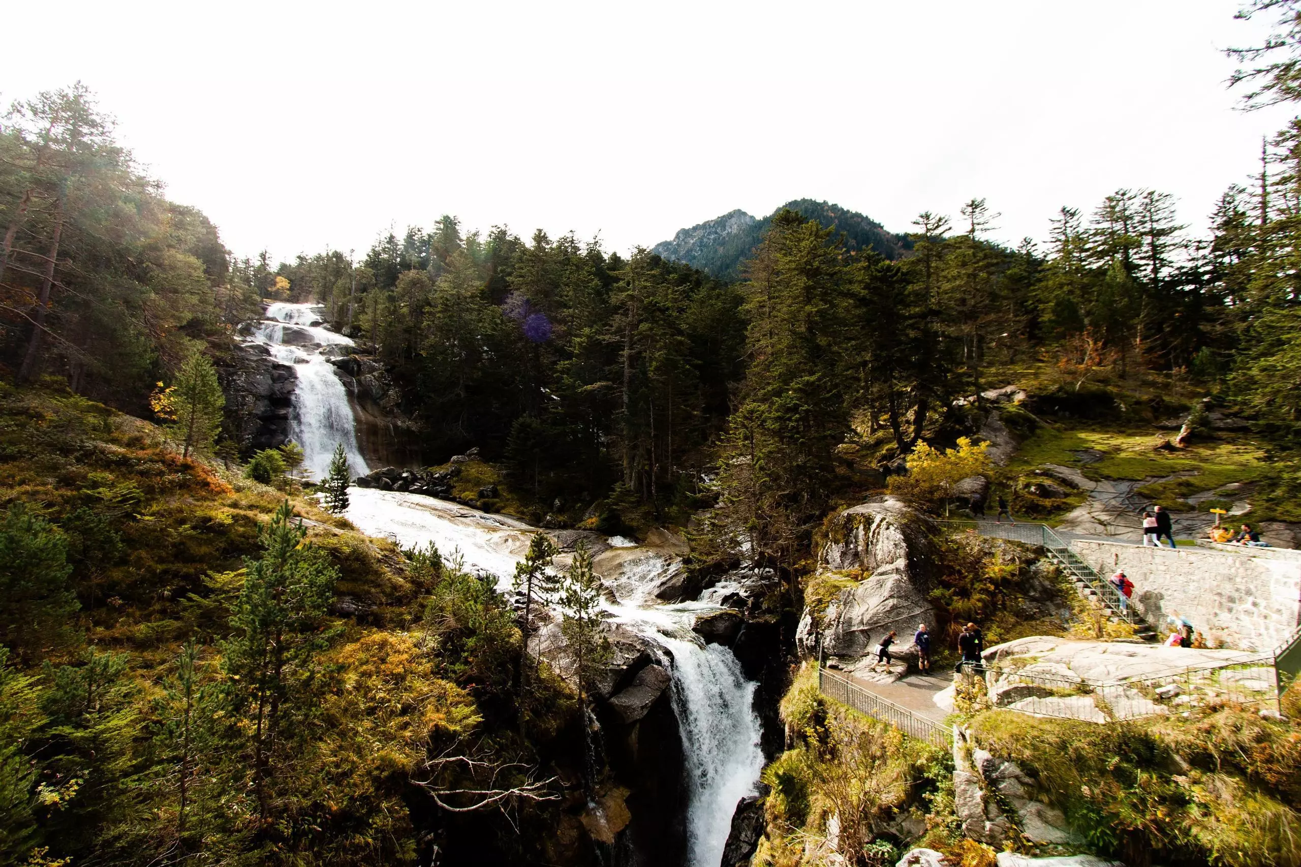
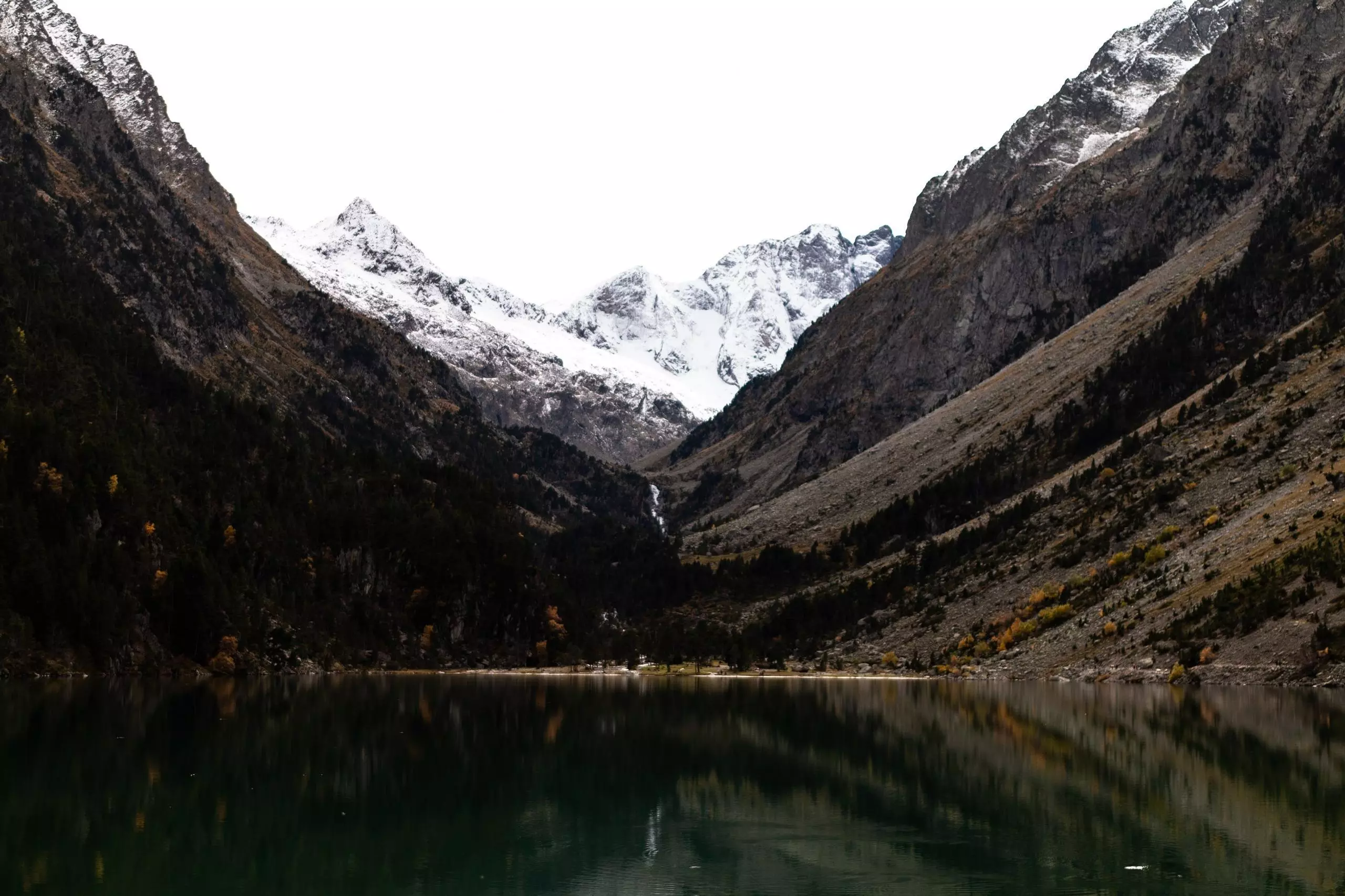
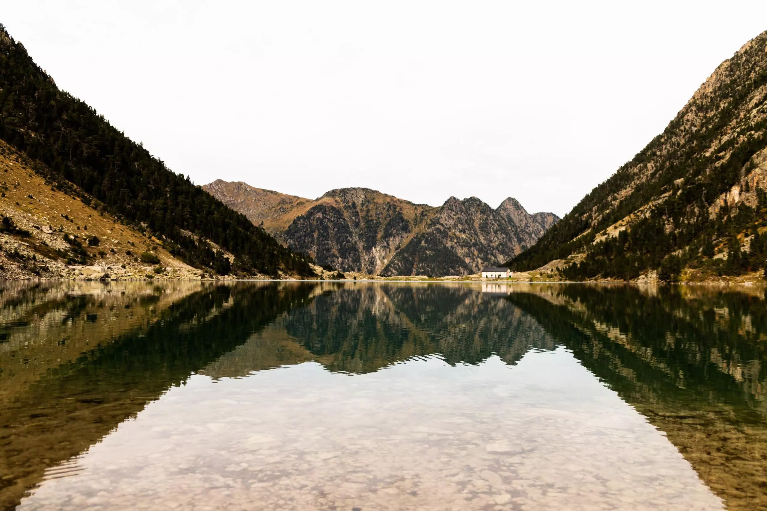
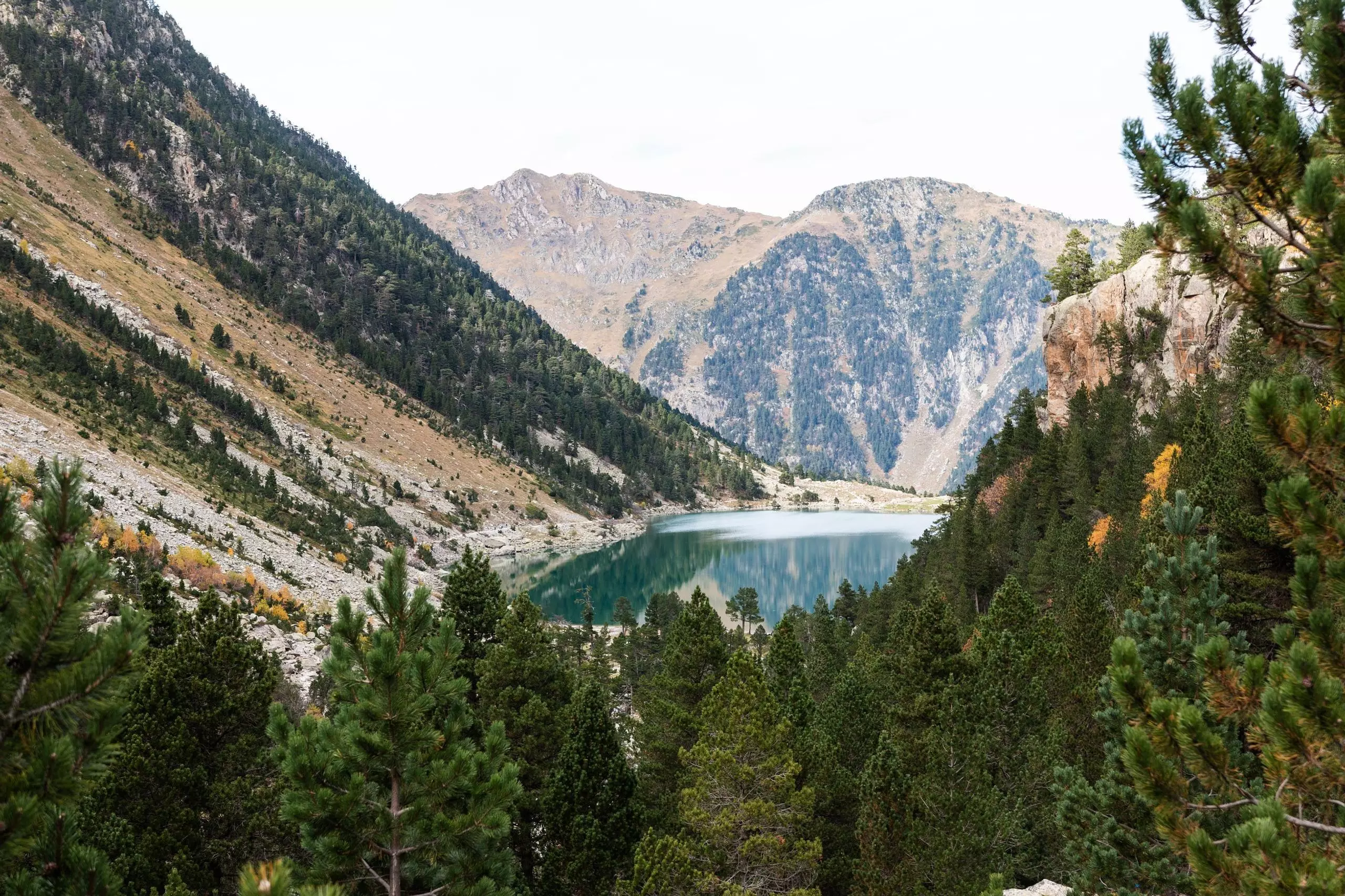
Visit of the waterfalls of the Pont d'Espagne and then tour of the Gaube lake.

(Description automatically translated)
Cauterets

Route profile

1086ft
Elevation +
1086ft
Elevation -
4915ft
Min altitude
5850ft
Max altitude

How to get there

Route starting point: Pont d'Espagne, 65110 Cauterets

GPS coordinates of the starting point: 42.8516, -0.13696 / 42°51'5'' N, 0°8'13'' W