MapPlanner
9.814mi
Distance
10h45m
Duration
+3740ft
Elevation gain
-3783ft
Elevation loss
Hard
Level

Tour du Cirque de Gavarnie par la brèche de Roland

View of the waterfall at sunrise
On top of the Cirque de Gavarnie
Brèche de Roland from the Sarradets refuge
View of the cirque from the refuge
Descent on the other side of the cirque from the refuge
View of the circus from the upper path on the way back to the village

Route details

0.91mph
Speed
5058 kcal
Calories burned
14.5%
Avg grade
Loop trail
Route type
4524ft
Min altitude
7887ft
Max altitude
Steep climb

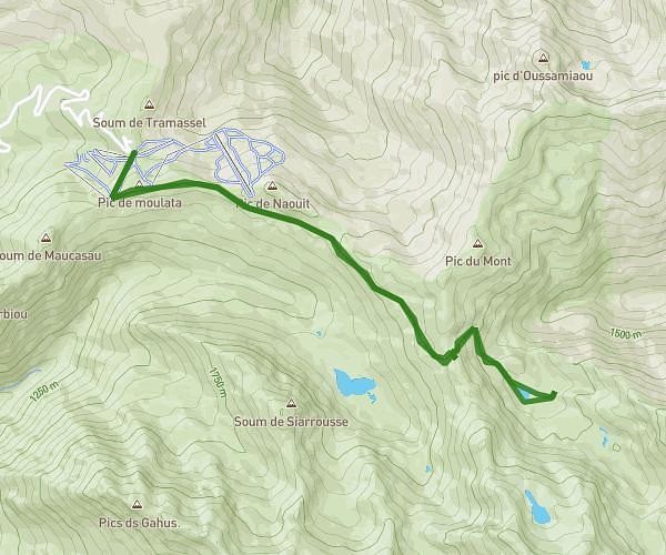
This hiking trail covers 9.814mi starting from Gavarnie-Gèdre, Hautes-Pyrénées. The hike is a loop trail and returns to the trailhead. This hike is rated as hard, plan for about 10h45m to complete it. The route has an elevation gain of 3740ft and an elevation loss of 3783ft.

Description of the route by the creator

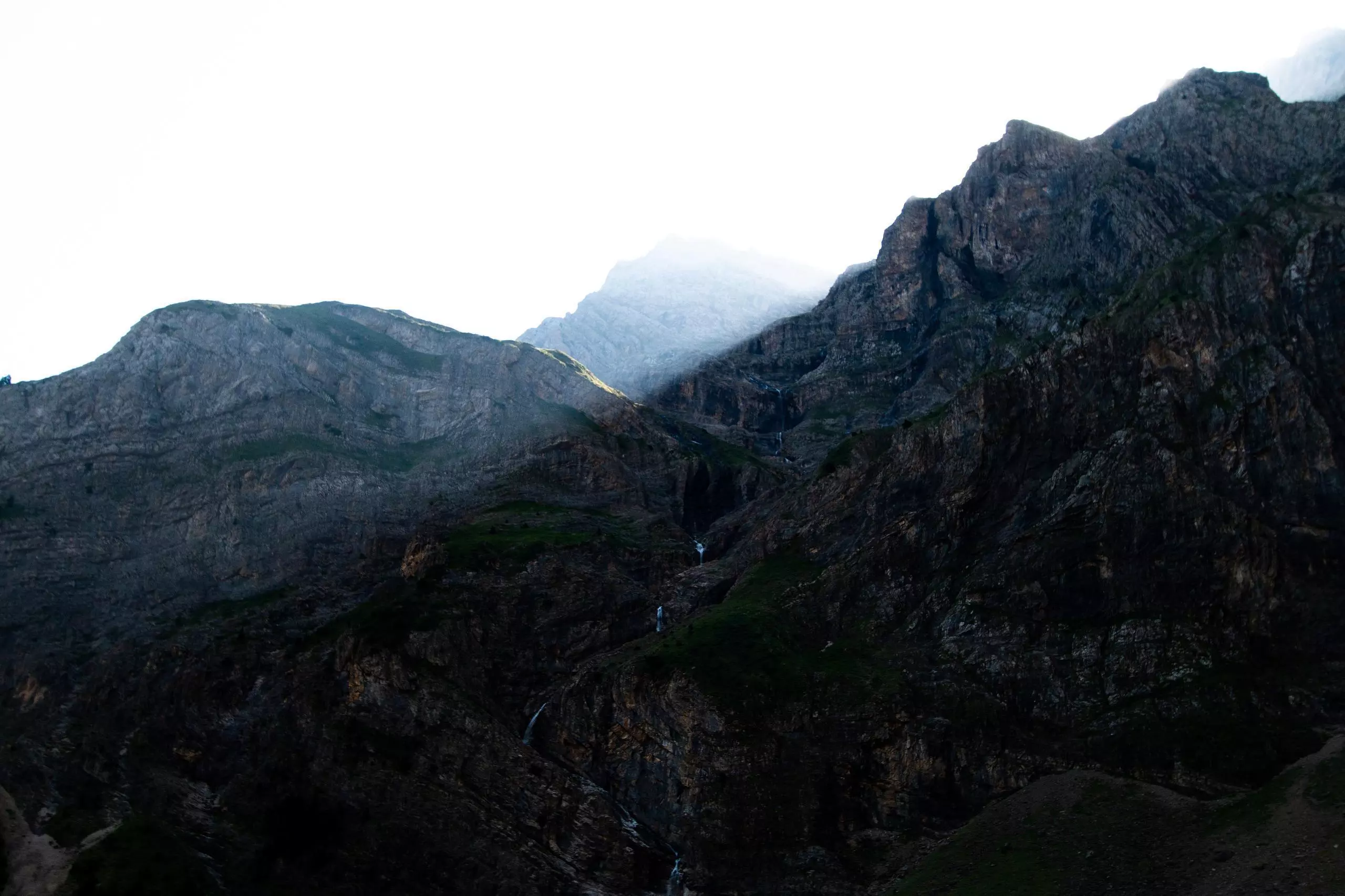
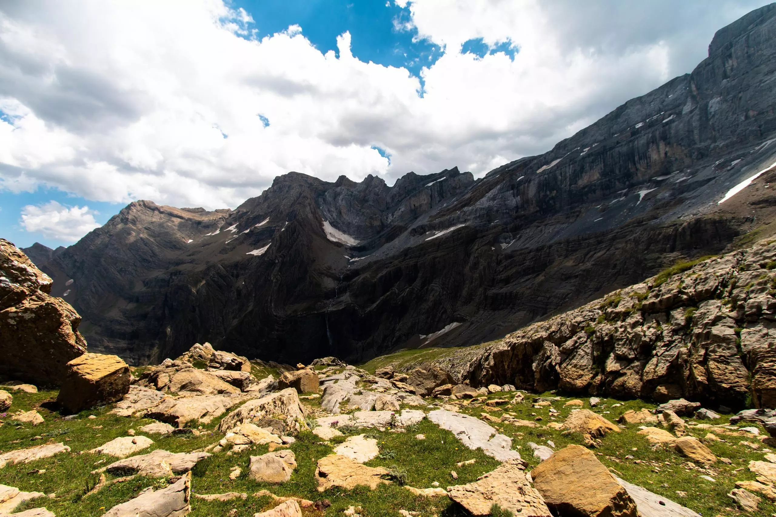
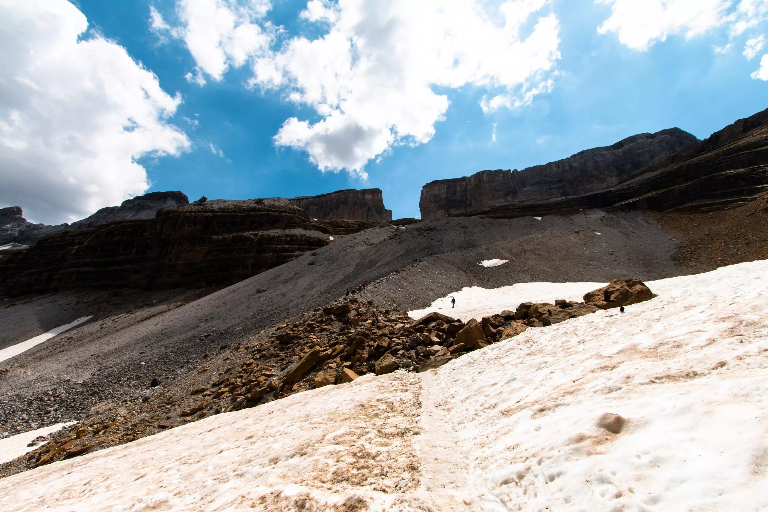
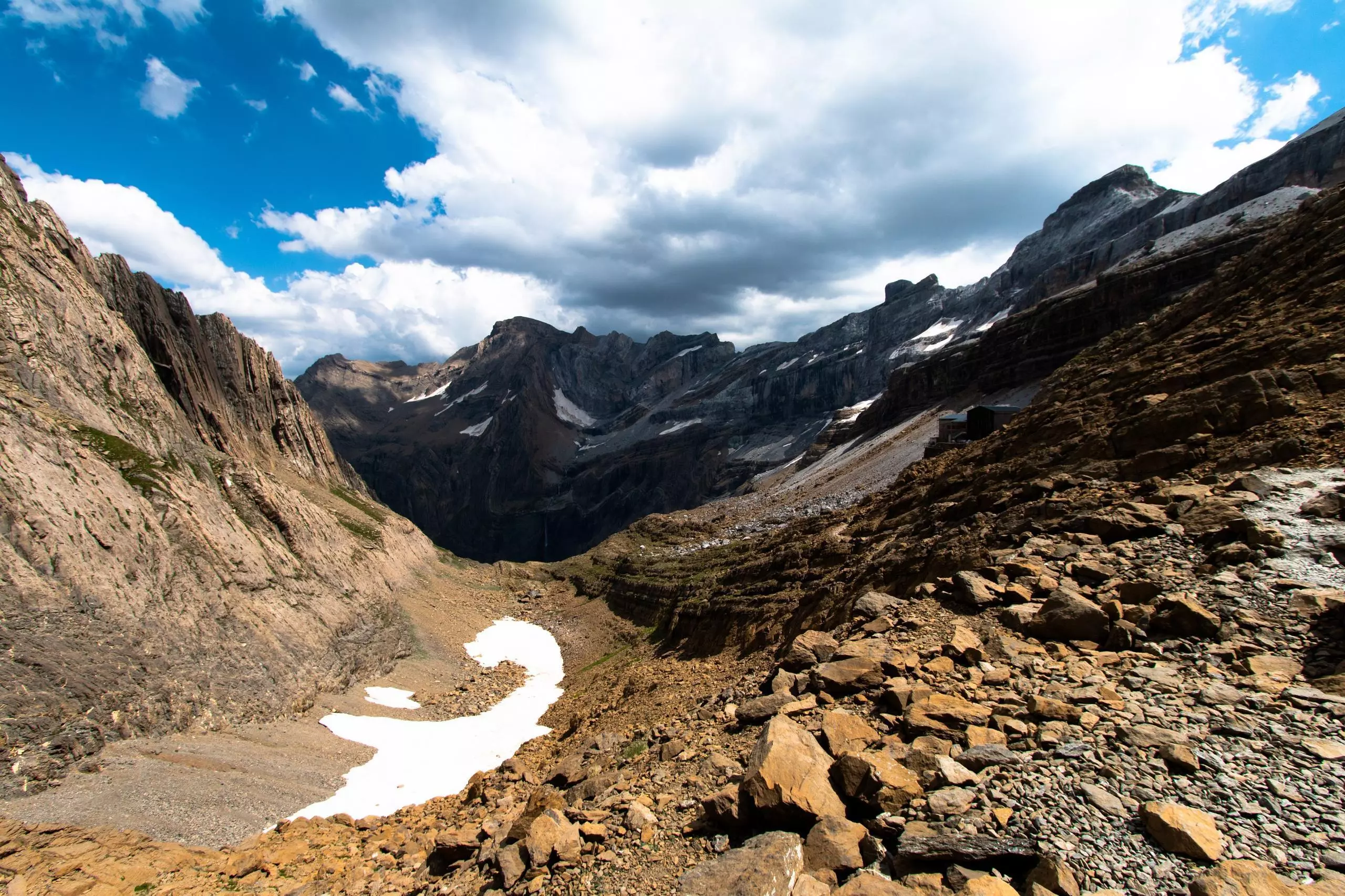
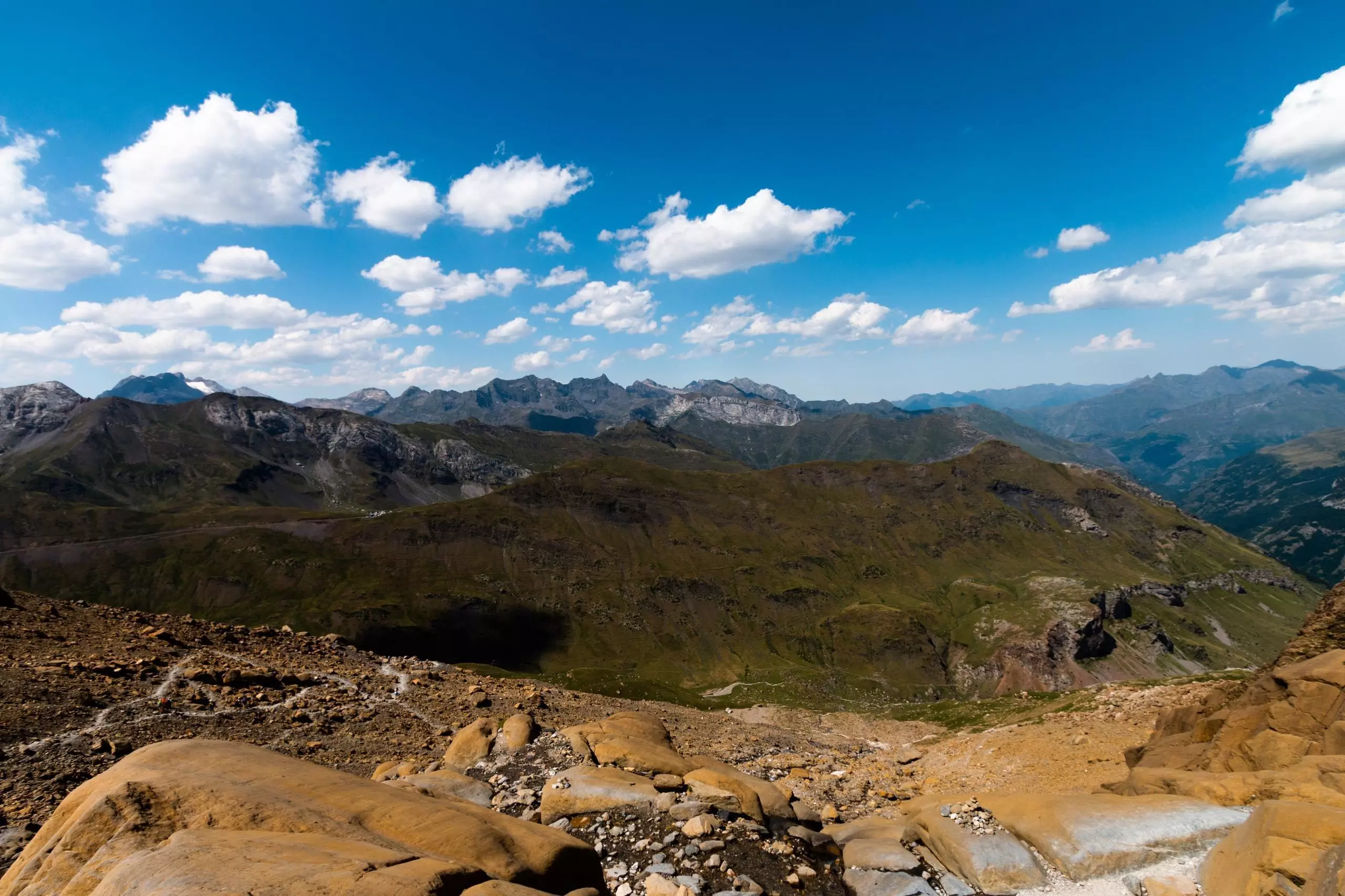
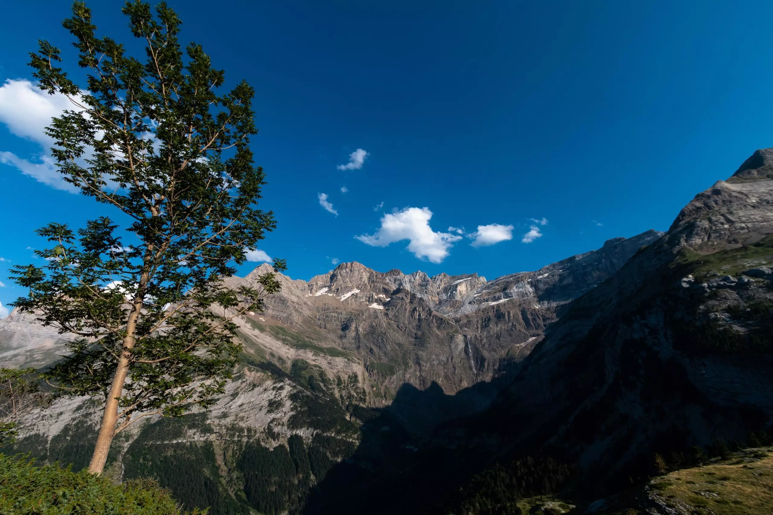
Departure from the parking of the village of Gavarnie. Follow the path towards the waterfall then turn right into the cirque to reach the Sarradets refuge. It is at the foot of the brèche de Roland. Continue the path to go down on the other side of the creek. Then follow the path to return to the village of Gavarnie.

(Description automatically translated)

Route profile

3740ft
Elevation gain
3783ft
Elevation loss
4524ft
Min altitude
7887ft
Max altitude

How to get there

Trailhead: Route Des Espécières, 65120 Gavarnie-Gèdre, France

GPS coordinates of the trailhead: 42.7353, -0.01121 / 42°44'7'' N, 0°0'40'' W

Caution: May Cross Private Property

This route may pass through or near private property. Always respect posted signs, obtain permission where required, and follow local trespassing laws. MapPlanner does not guarantee public access along any route.

Safety Notice

Trail and road conditions may change without notice due to weather, construction, or other factors. Always verify current conditions before heading out. You are responsible for your own safety — follow local signage, obey traffic laws, and use your best judgment on the trail.