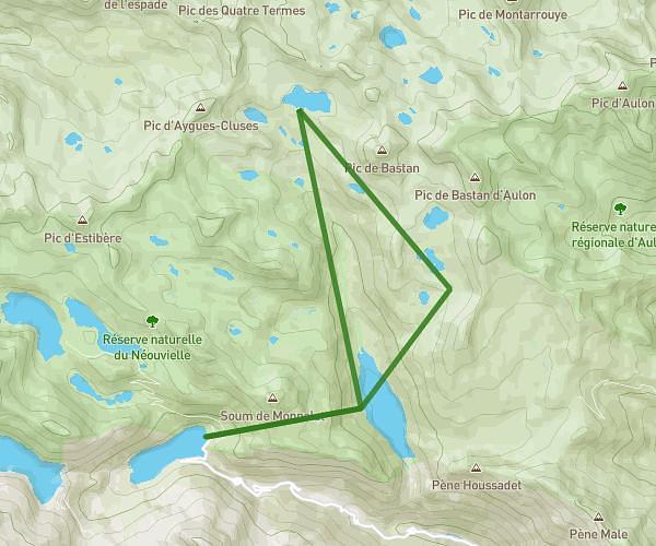
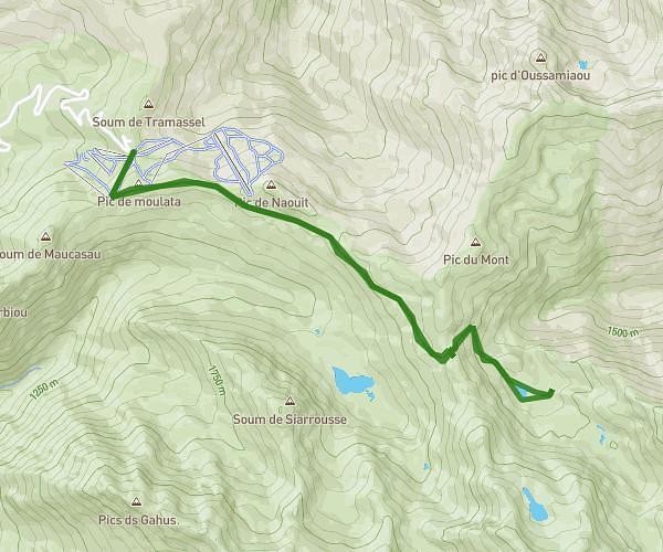
This hiking trail covers 3.055mi starting from Saint-Lary-Soulan, Hautes-Pyrénées. The hike does not return to the trailhead and ends near 65170, Saint-Lary-Soulan, Hautes-Pyrénées, France. This hike is rated as hard, plan for about 2h27m to complete it. The route has an elevation gain of 2297ft and an elevation loss of 850ft.
espiaube col de portet
Route details
1.24mph
Speed
1277 kcal
Calories burned
19.5%
Avg grade
Point to point
Route type
5230ft
Min altitude
7260ft
Max altitude
Steep climb
Route profile
2297ft
Elevation gain
850ft
Elevation loss
5230ft
Min altitude
7260ft
Max altitude
How to get there
Trailhead: D 123 C, 65170 Saint-Lary-Soulan, France
GPS coordinates of the trailhead: 42.82569, 0.25914 / 42°49'32'' N, 0°15'32'' E