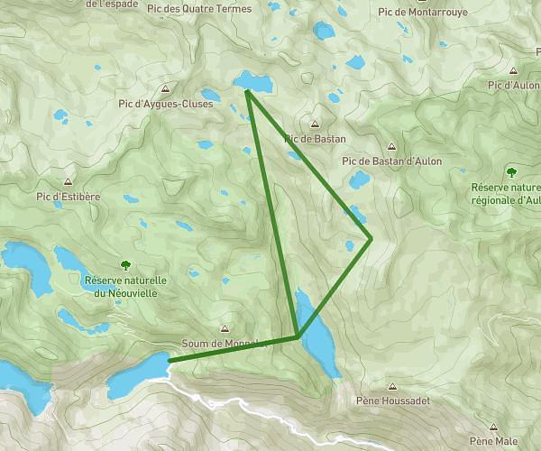
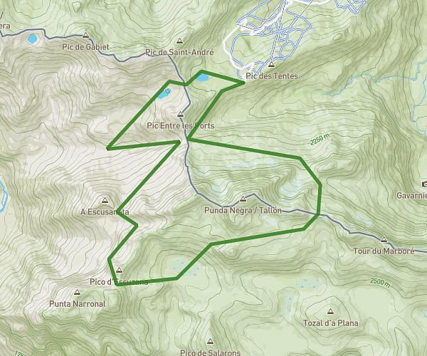
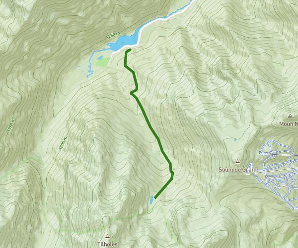
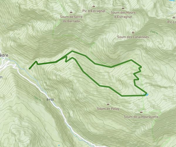
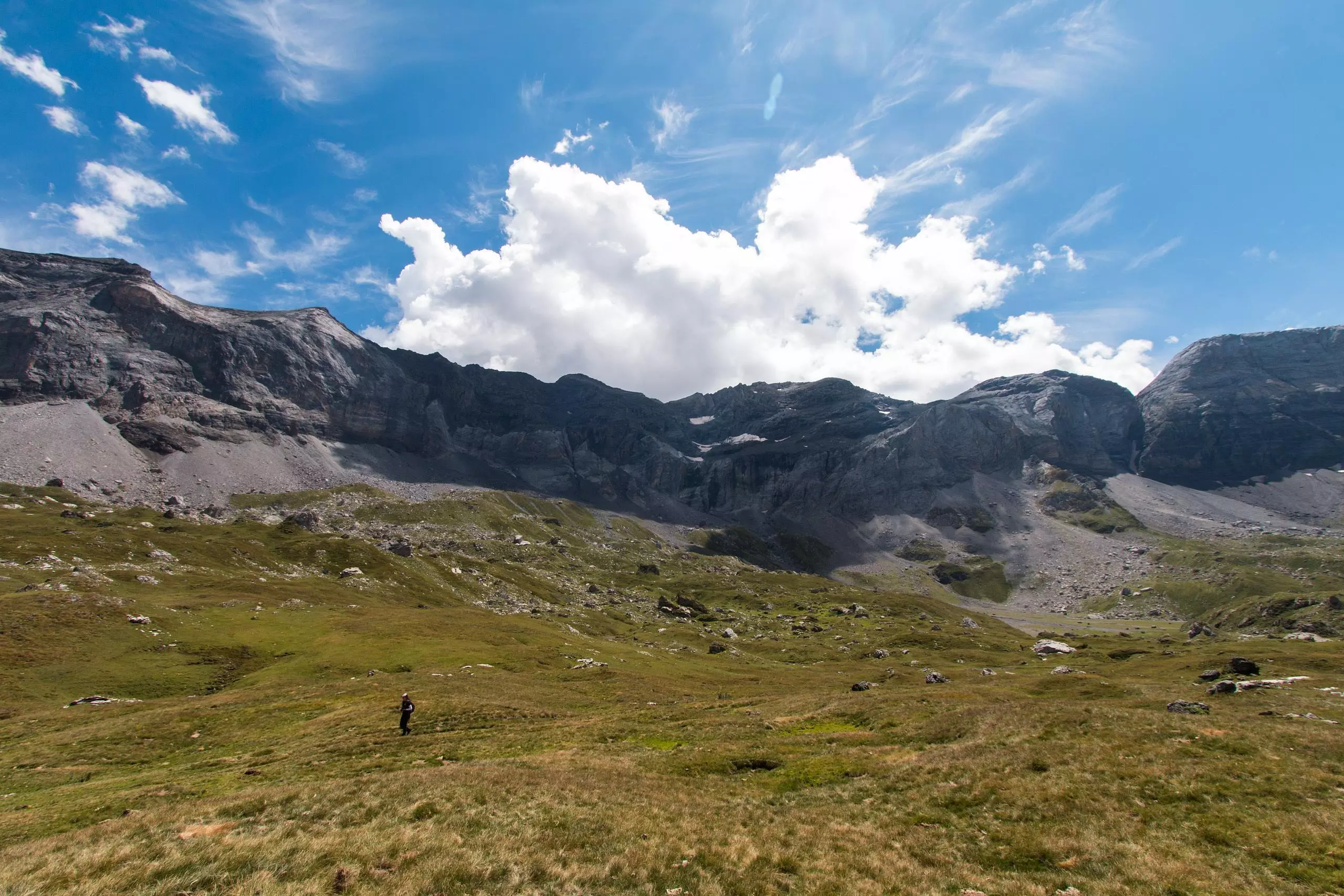
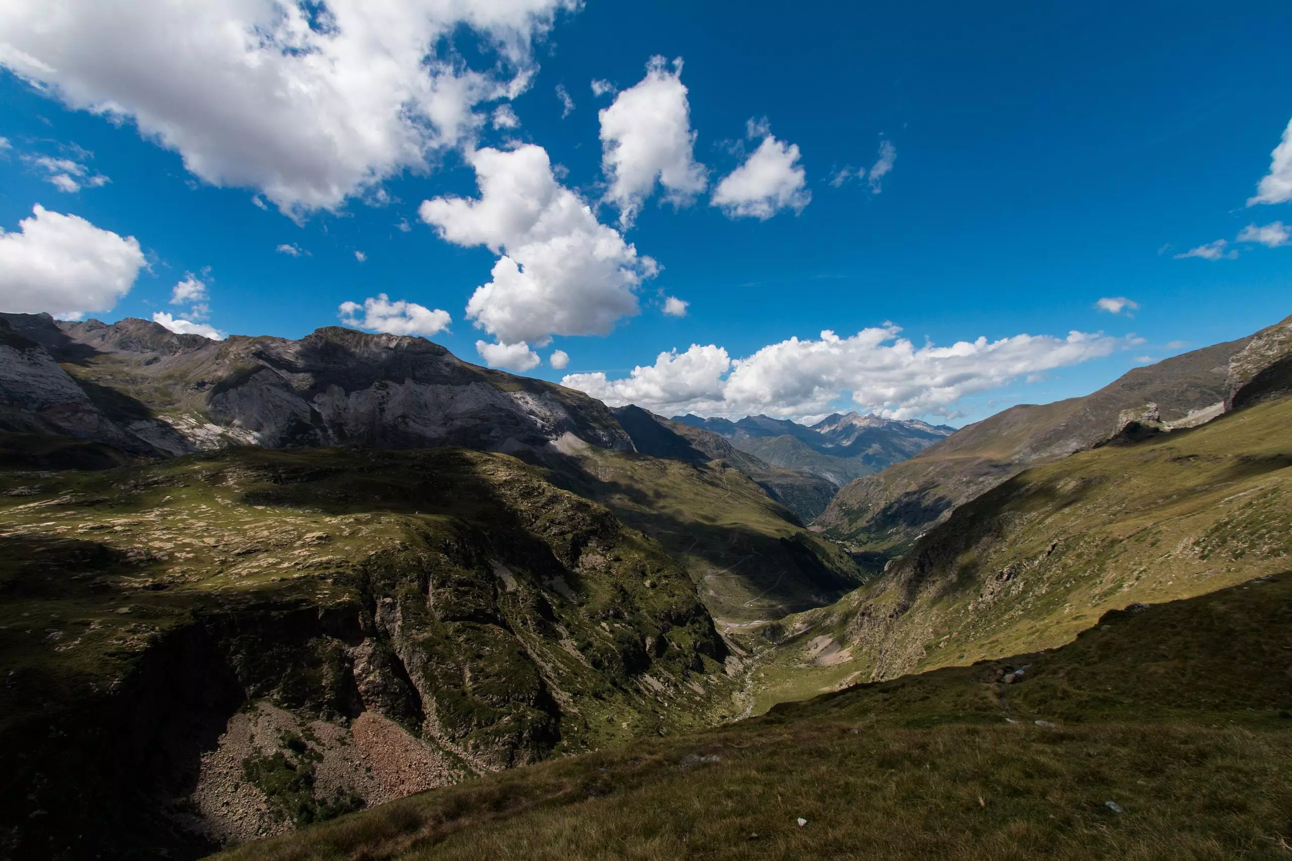
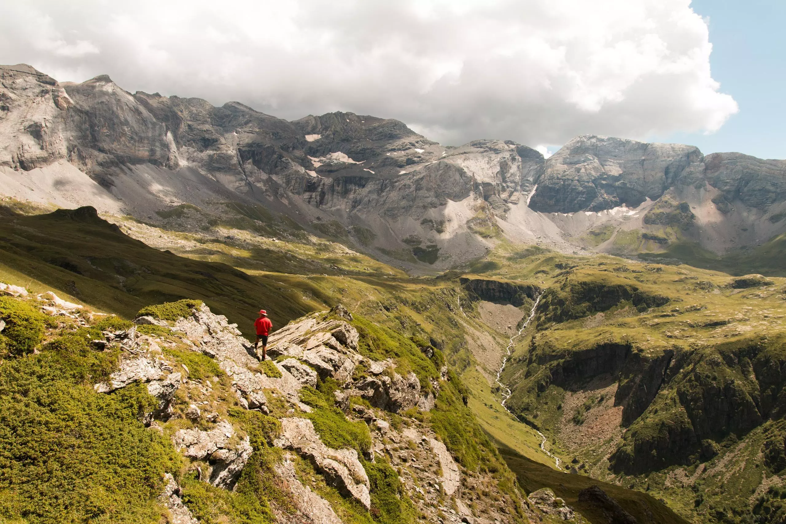
MapPlanner
7,344mi
Distance
8h40m
Duration
0,85mph
Speed
2369ft
Elevation +
2362ft
Elevation -
4987ft
Min altitude
6995ft
Max altitude

Tour du Cirque de Troumouse

Inside the Cirque de Troumouse

Route details

Explore this hiking route of 7,344mi starting from Gavarnie-Gèdre, Hautes-Pyrénées. The hike is a loop and returns to the starting point. This hike has no defined difficulty level, plan for about 8h40m to complete it. The route has a positive elevation gain of 2369ft and a negative elevation loss of 2362ft.

Description of the route by the creator

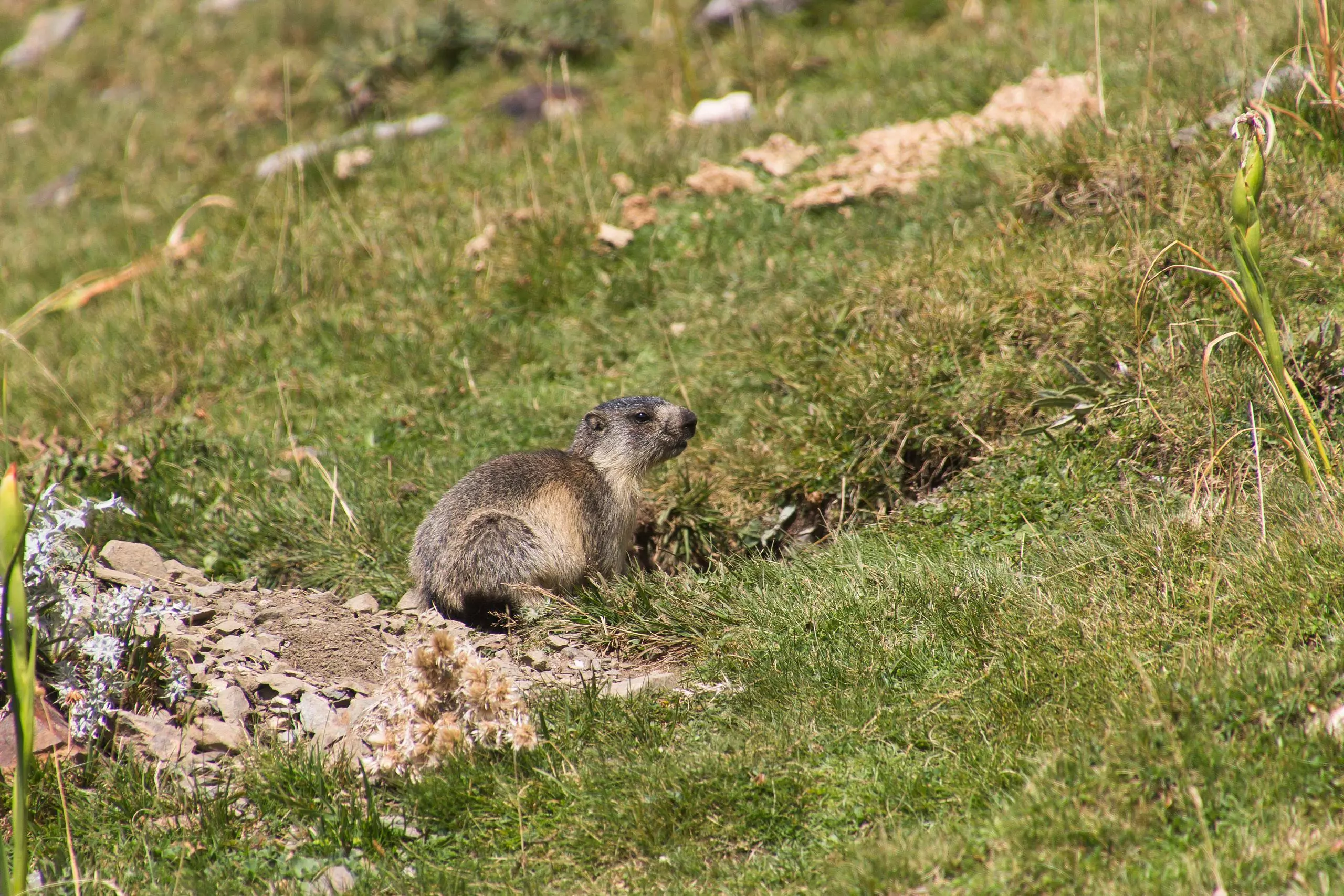
Hike around the Cirque de Troumouse. Departure from the parking of the Chapelle d'Héas.

(Description automatically translated)
Gavarnie

Route profile

2369ft
Elevation +
2362ft
Elevation -
4987ft
Min altitude
6995ft
Max altitude

How to get there

Route starting point: D 922, 65120 Gavarnie-Gèdre

GPS coordinates of the starting point: 42.75001, 0.08808 / 42°45'0'' N, 0°5'17'' E