MapPlanner
5.942mi
Distance
44m
Duration
7:24/mi
Pace
Moderate
Level

Tour des ponts de Bordeaux

Route details

8.1mph
Speed
503 kcal
Calories burned
Loop trail
Route type
7ft
Min altitude
46ft
Max altitude

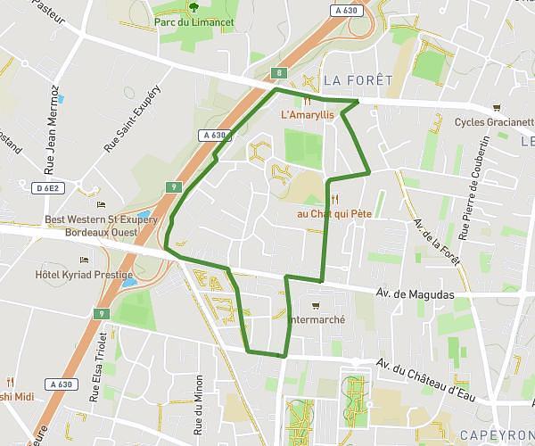
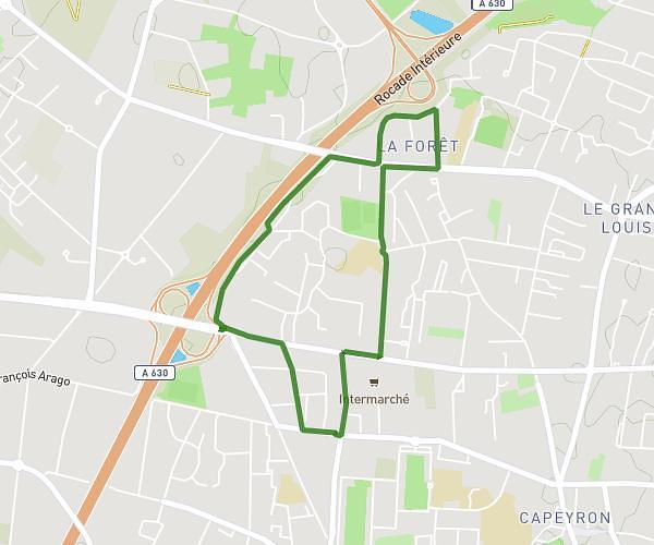
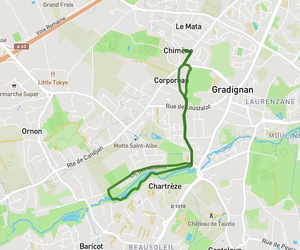
This running route covers 5.942mi starting from Bordeaux, Gironde. The run is a loop trail and returns to the trailhead. This run is rated as moderate, expect about 44m to complete it. The route has an elevation gain of 43ft and an elevation loss of 39ft.

Description of the route by the creator

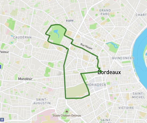
Tour of the bridges of Bordeaux by the Public Garden

(Description automatically translated)

Route profile

43ft
Elevation gain
39ft
Elevation loss
7ft
Min altitude
46ft
Max altitude

How to get there

Trailhead: 20 Rue Mandron, 33000 Bordeaux, France

GPS coordinates of the trailhead: 44.8514, -0.57811 / 44°51'5'' N, 0°34'41'' W

Caution: May Cross Private Property

This route may pass through or near private property. Always respect posted signs, obtain permission where required, and follow local trespassing laws. MapPlanner does not guarantee public access along any route.

Safety Notice

Trail and road conditions may change without notice due to weather, construction, or other factors. Always verify current conditions before heading out. You are responsible for your own safety — follow local signage, obey traffic laws, and use your best judgment on the trail.