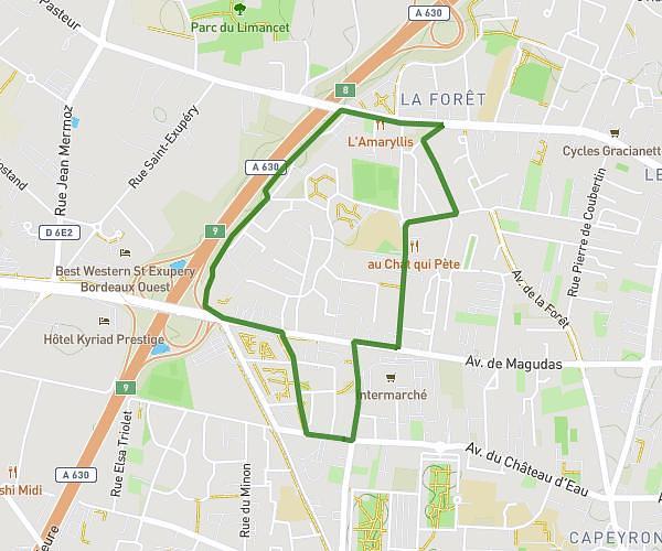
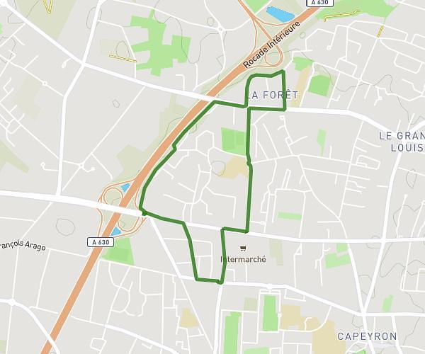
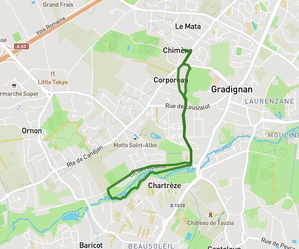
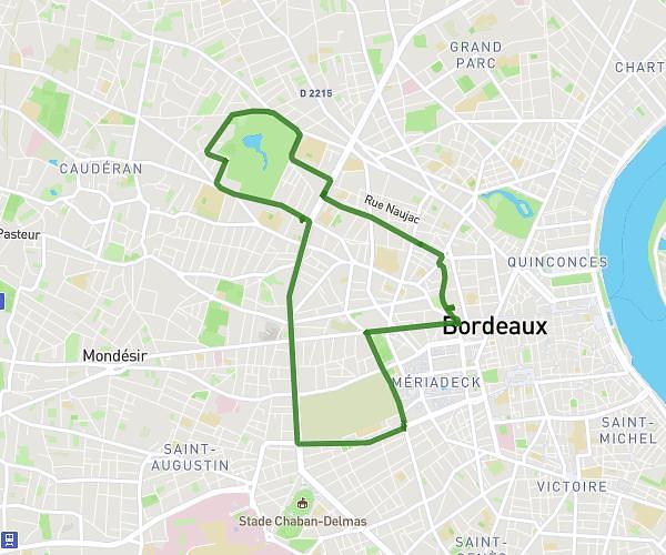
This running route covers 13.336mi starting from Madirac, Gironde. The run is a loop trail and returns to the trailhead. This run is rated as strenuous, expect about 2h to complete it. The route has an elevation gain of 79ft and an elevation loss of 105ft.
21,1
Route details
6.67mph
Speed
1372 kcal
Calories burned
Loop trail
Route type
226ft
Min altitude
305ft
Max altitude
Route profile
79ft
Elevation gain
105ft
Elevation loss
226ft
Min altitude
305ft
Max altitude
How to get there
Trailhead: 10 Route De Haux, 33670 Madirac, France
GPS coordinates of the trailhead: 44.761955, -0.402346 / 44°45'43'' N, 0°24'8'' W