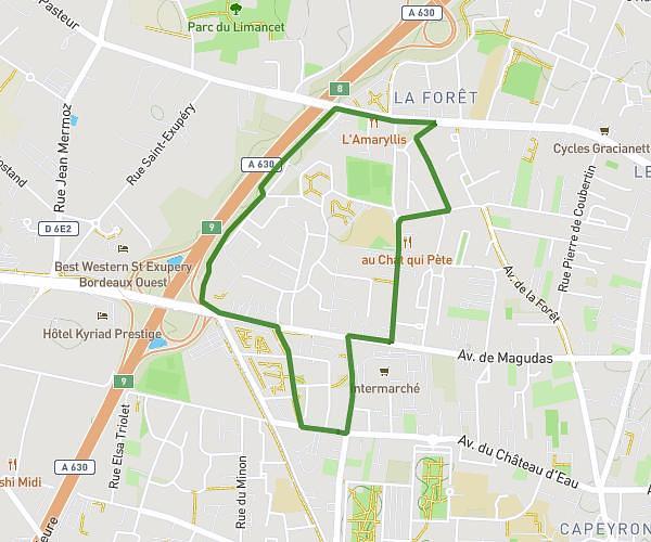
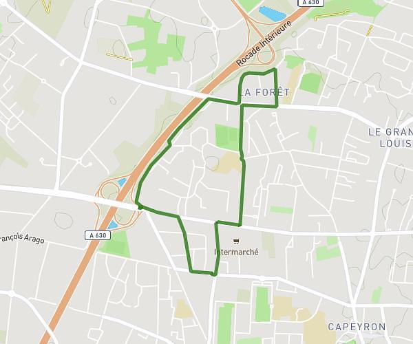
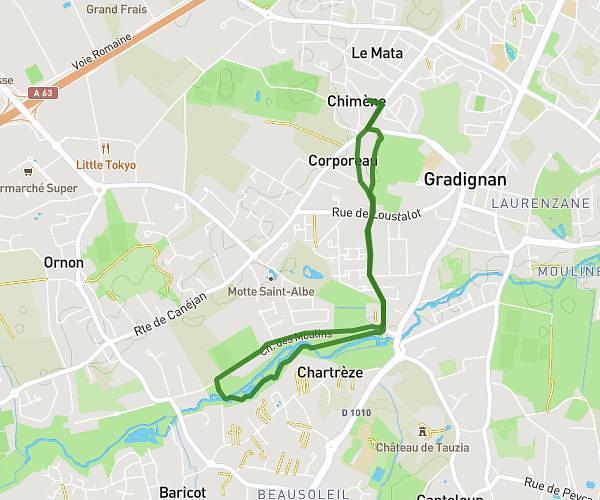
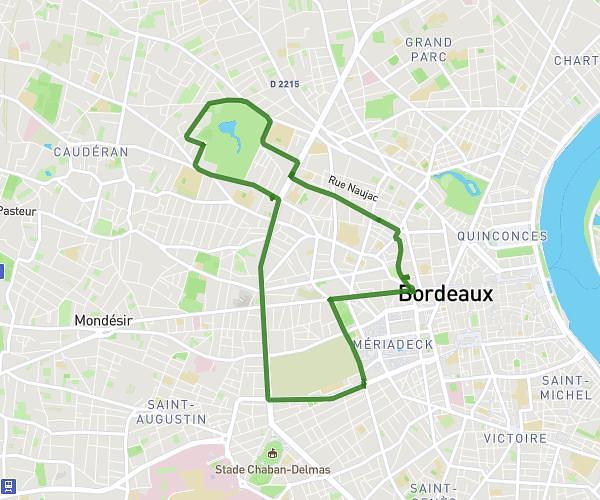
This running route covers 11.848mi starting from Madirac, Gironde. The run is a loop trail and returns to the trailhead. This run is rated as strenuous, expect about 2h7m to complete it. The route has an elevation gain of 646ft and an elevation loss of 653ft.
19Km
Route details
5.6mph
Speed
1452 kcal
Calories burned
Loop trail
Route type
95ft
Min altitude
351ft
Max altitude
Route profile
646ft
Elevation gain
653ft
Elevation loss
95ft
Min altitude
351ft
Max altitude
How to get there
Trailhead: 10 Route De Haux, 33670 Madirac, France
GPS coordinates of the trailhead: 44.762159, -0.402294 / 44°45'43'' N, 0°24'8'' W