MapPlanner
14.079mi
Distance
12h30m
Duration
+4642ft
Elevation gain
-4652ft
Elevation loss
Hard
Level

Tour du Pic du Midi d'Ossau

Lake of Bious-Artigues
Lake Gentau
Lake Gentau
Pic d'Ossau at sunset
The mist in the valley around the peak in the morning
Descent to the lake of Bious-Artigues

Route details

1.12mph
Speed
5796 kcal
Calories burned
12.5%
Avg grade
Loop trail
Route type
4636ft
Min altitude
7507ft
Max altitude
Steep climb

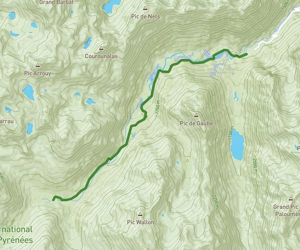
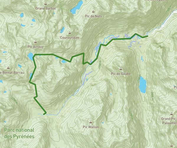
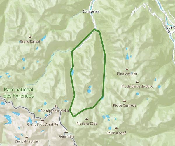
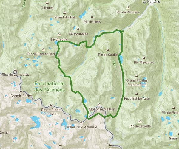
This hiking trail covers 14.079mi starting from Laruns, Pyrénées-Atlantiques. The hike is a loop trail and returns to the trailhead. This hike is rated as hard, plan for about 12h30m to complete it. The route has an elevation gain of 4642ft and an elevation loss of 4652ft.

Description of the route by the creator

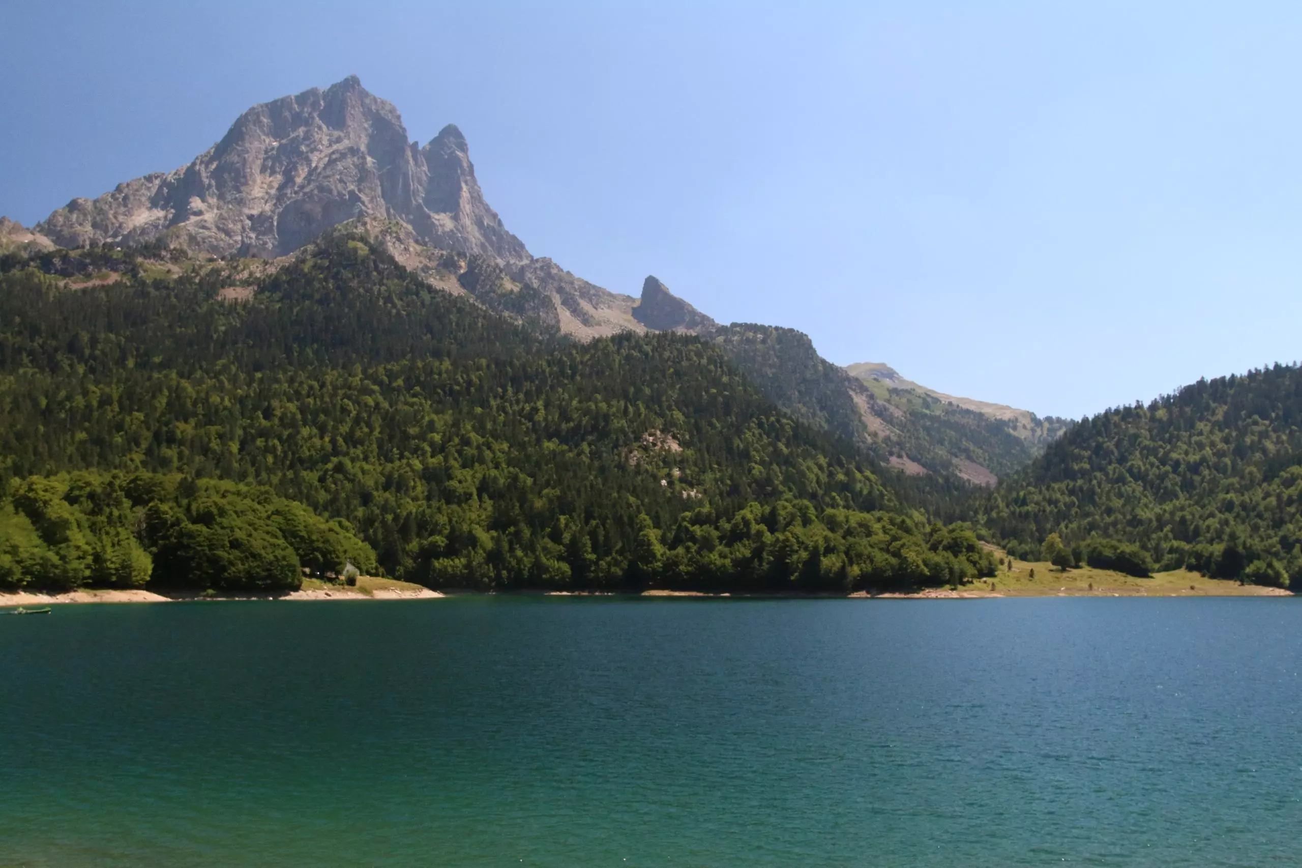
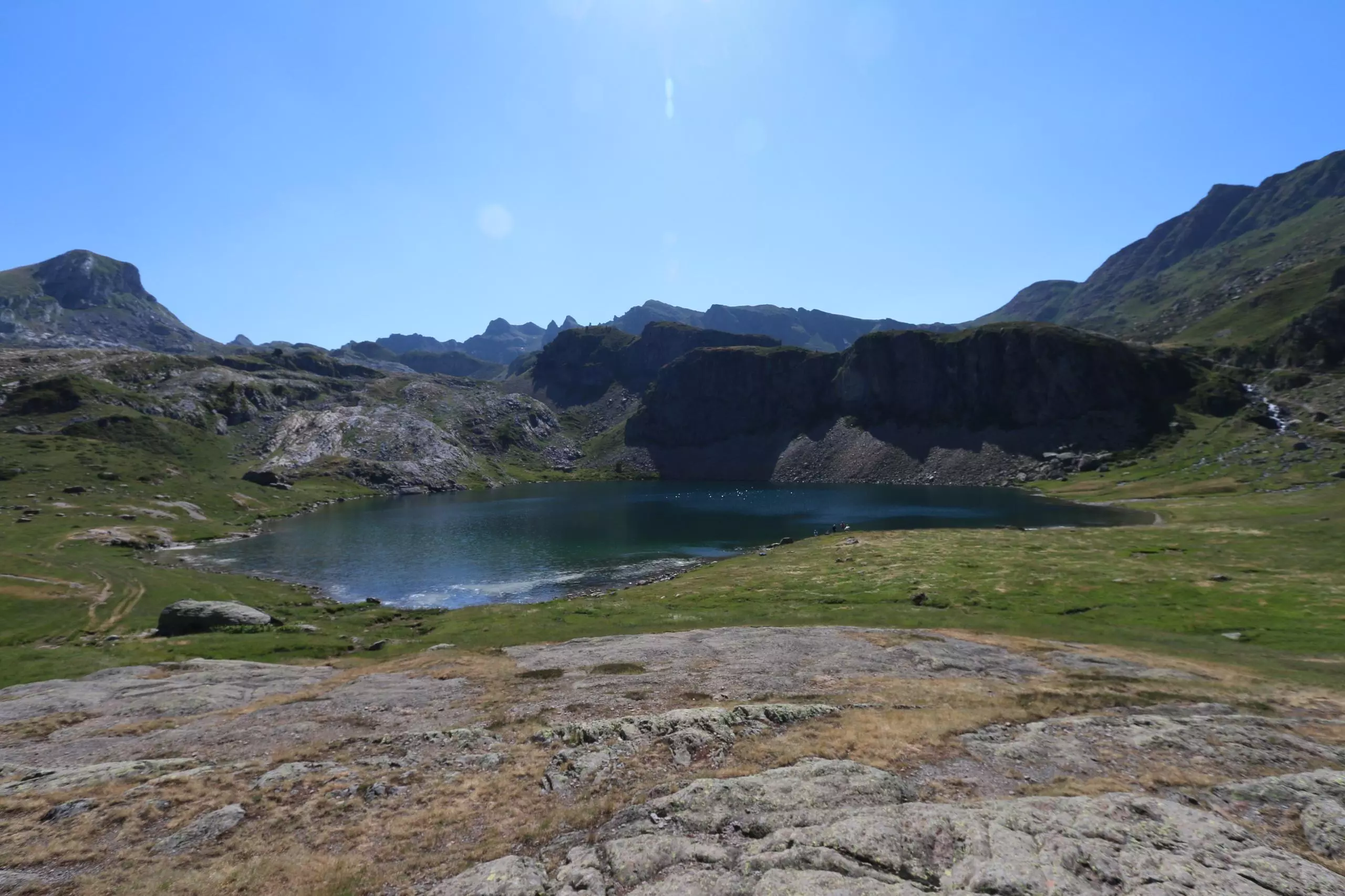
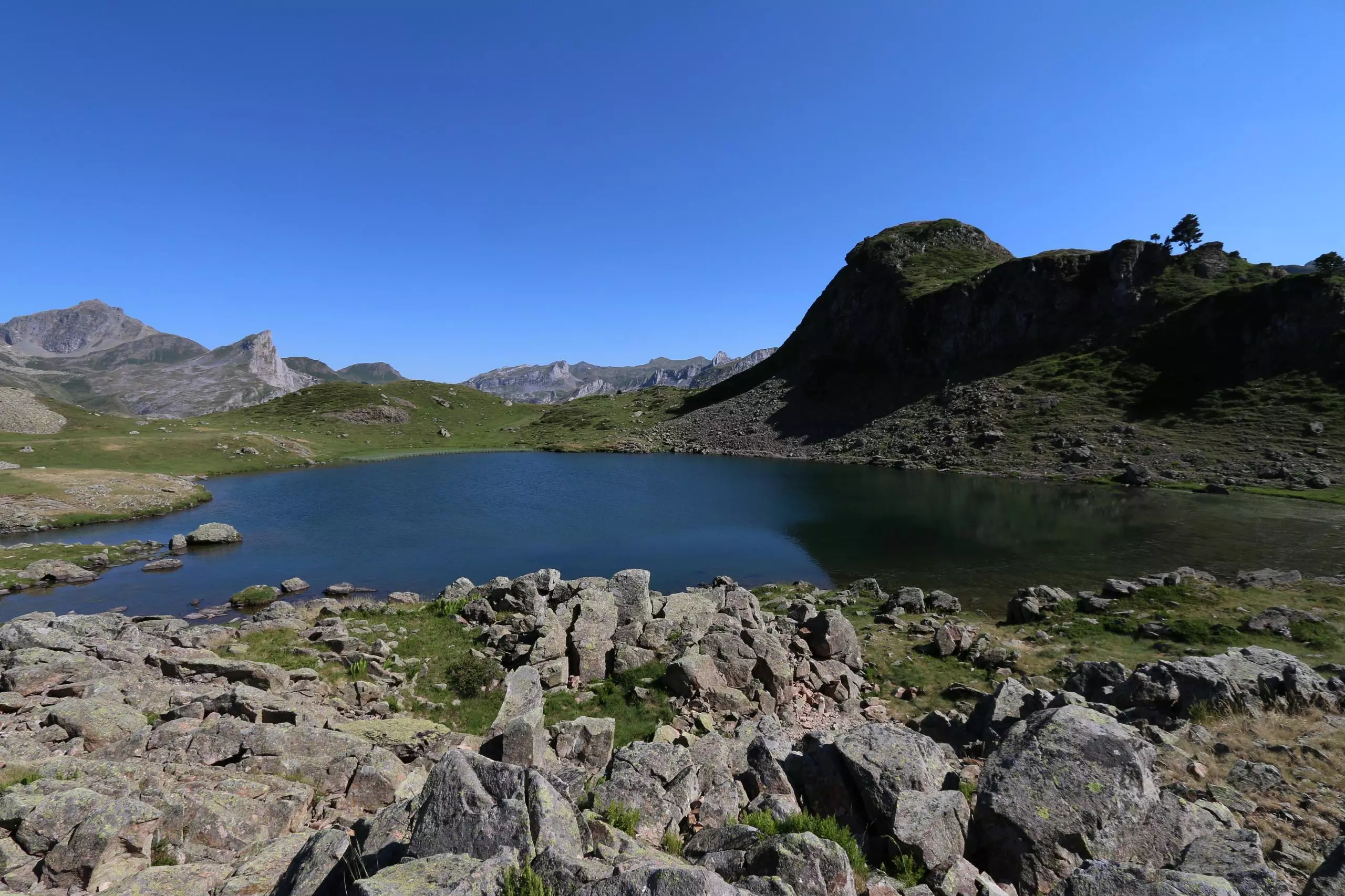
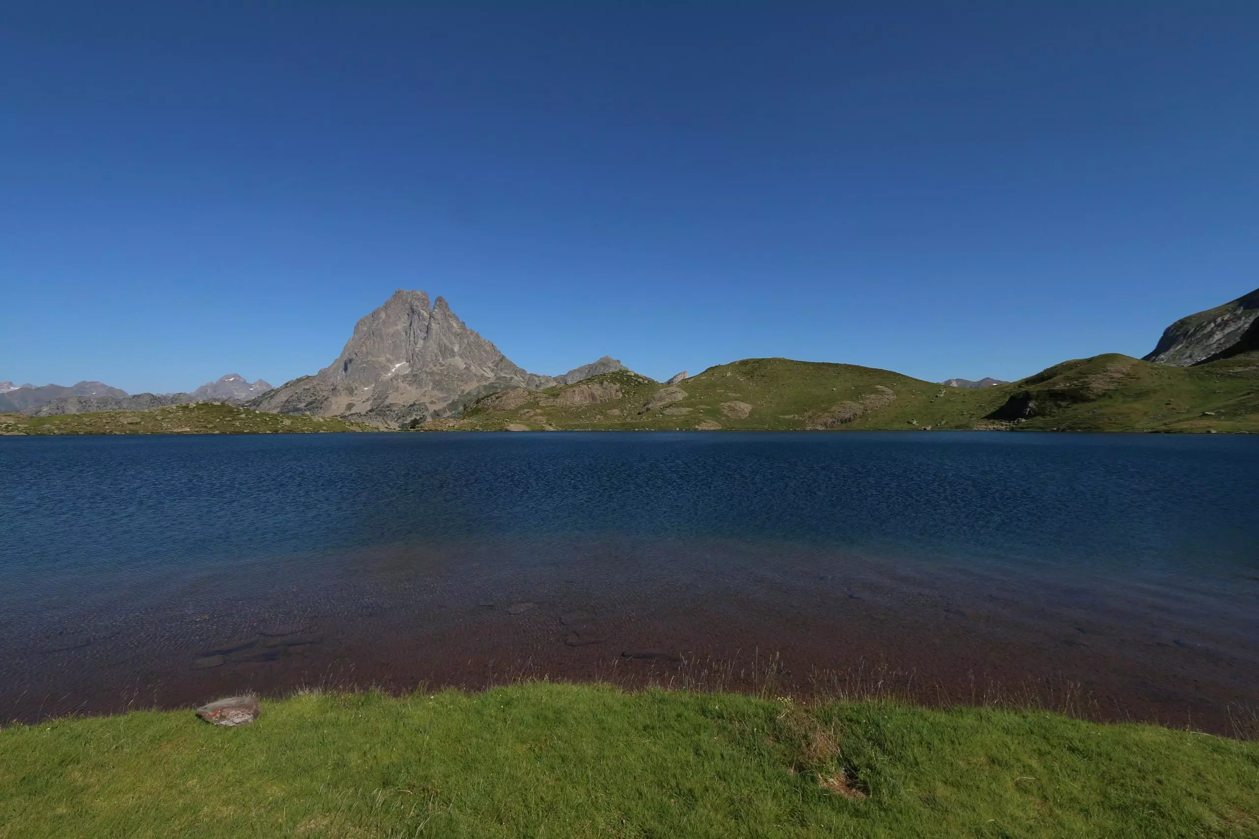
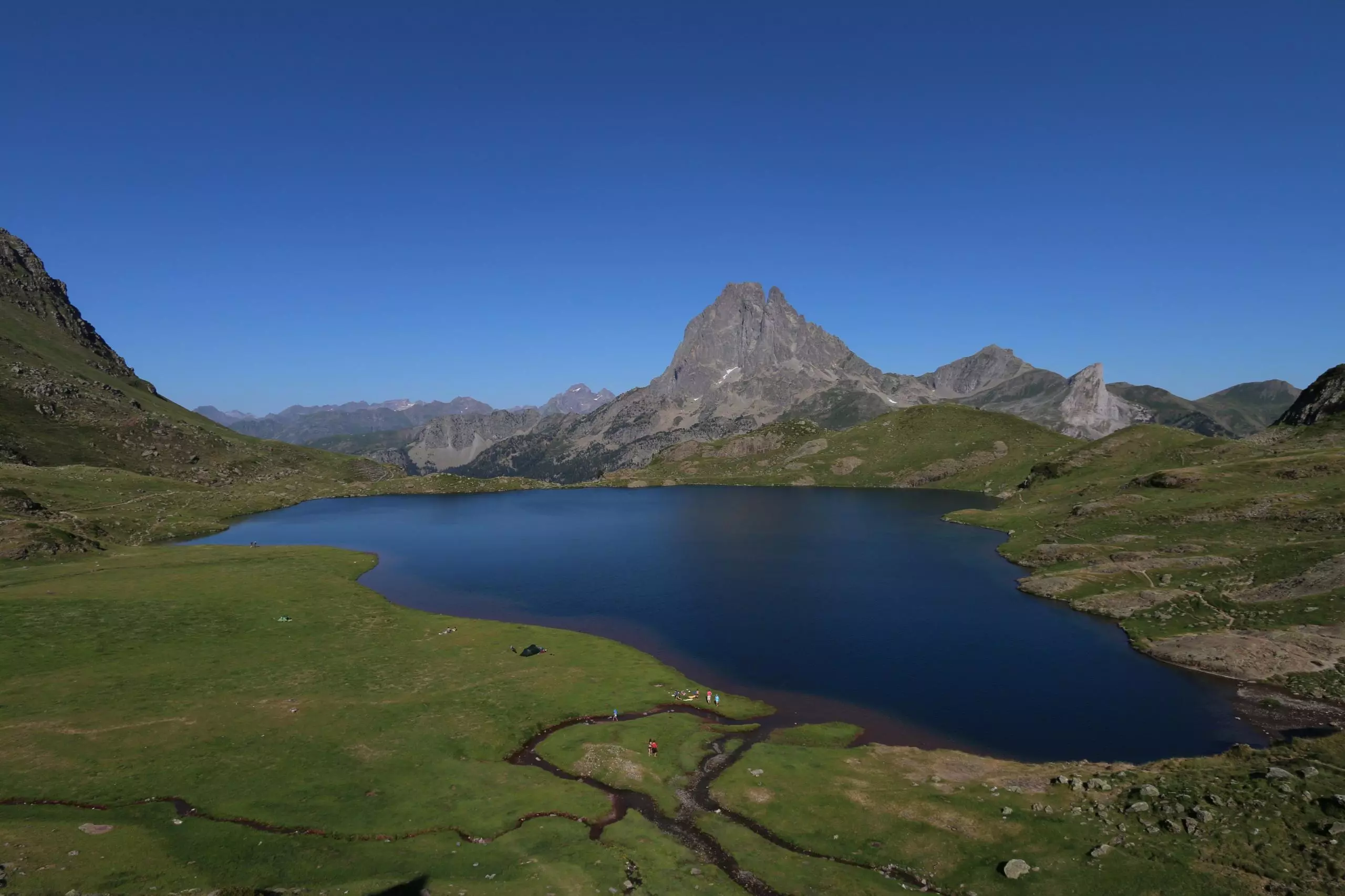
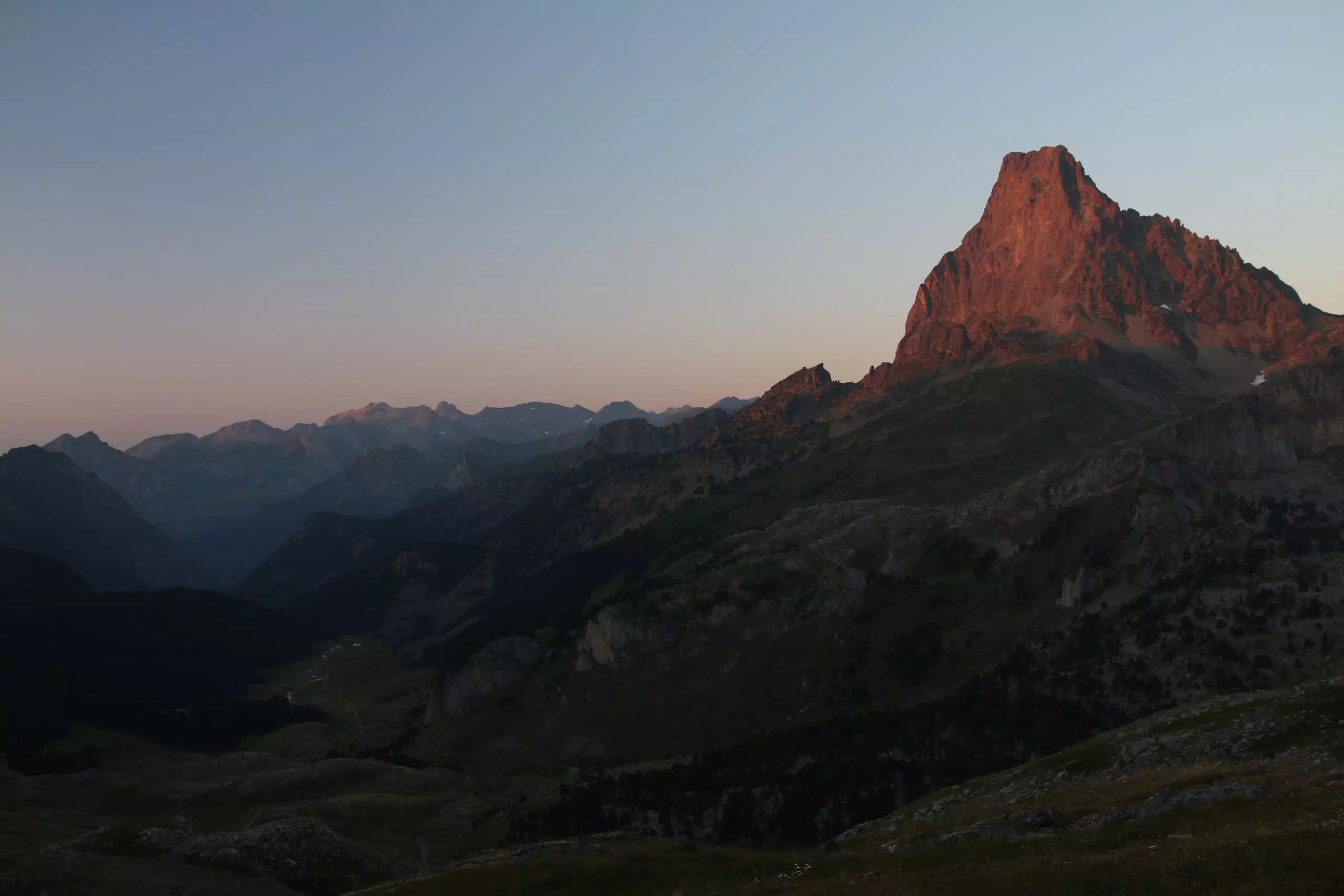
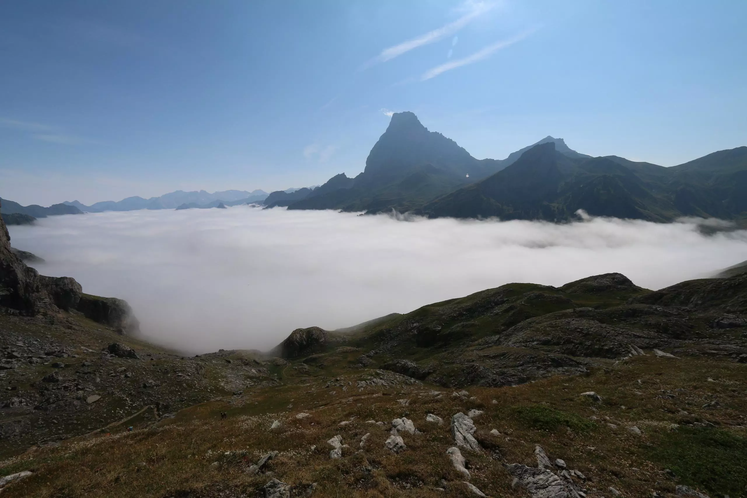
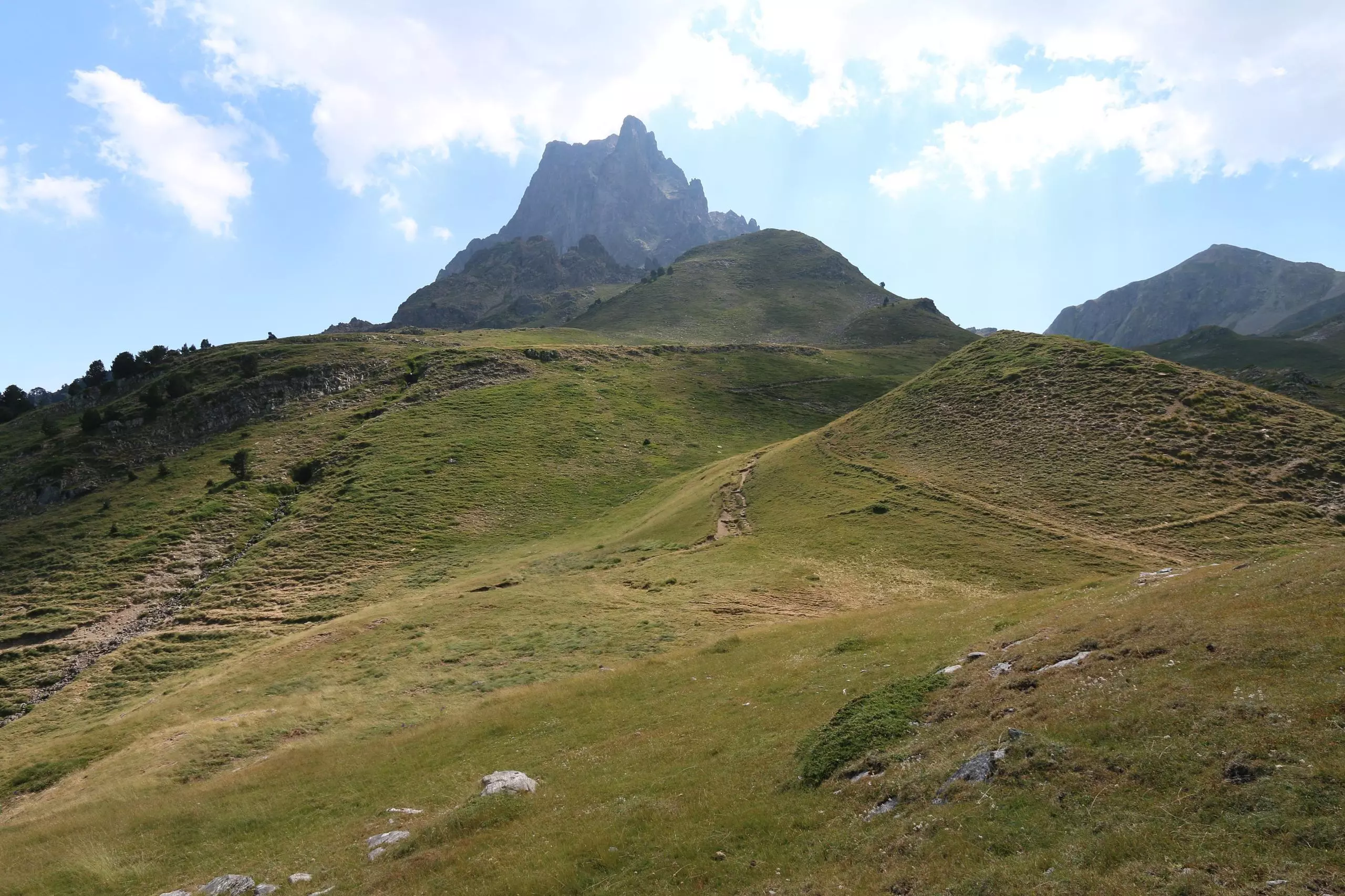
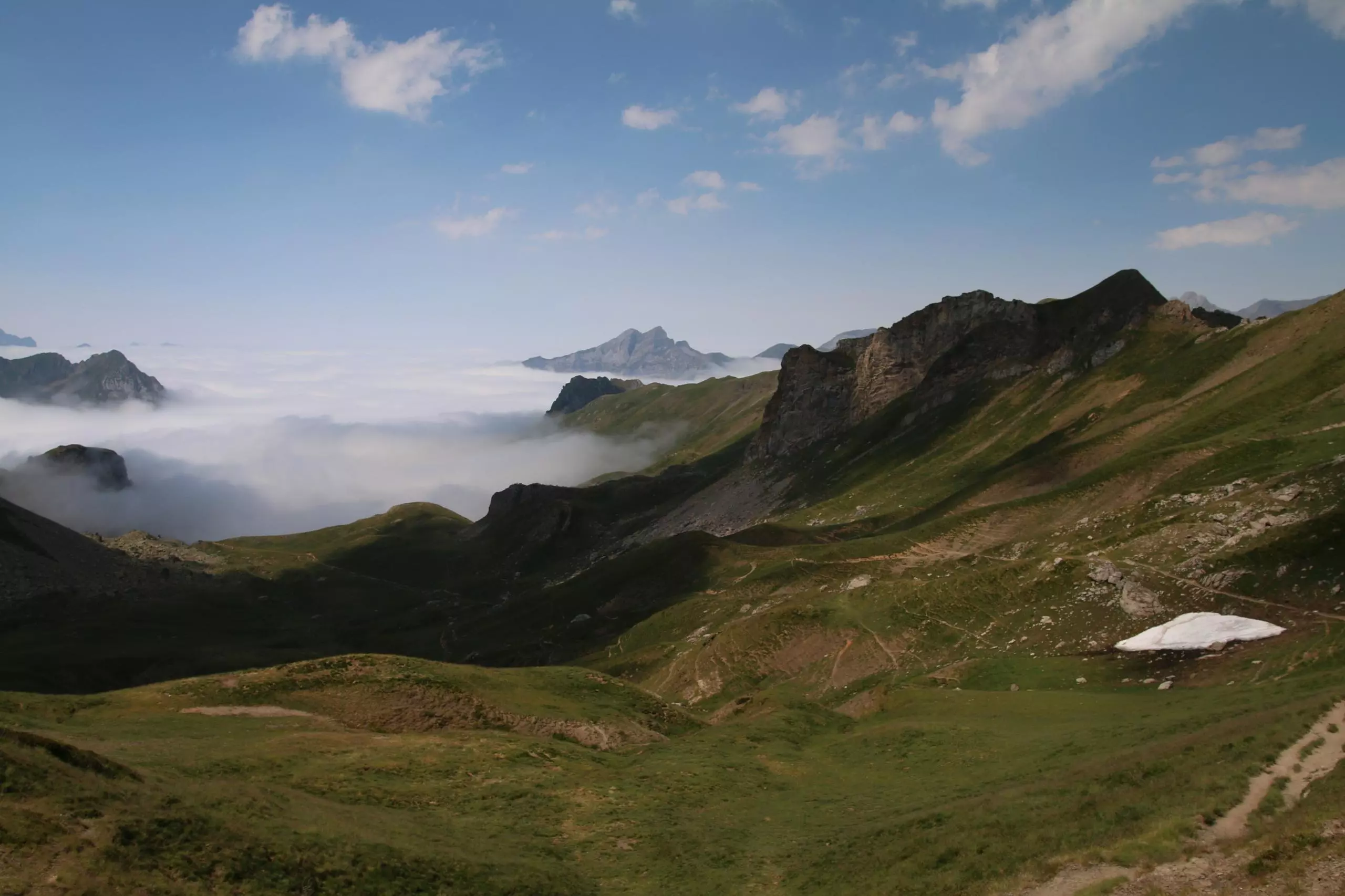
Hike around the Pic du Midi d'Ossau. Departure from the lake of Bious-Artigues, then passing by the refuge of Ayous, the lake of Gentau and the lake Bersau. Bypassing the Pic d'Ossau by the south to return to the lake of Bious-Artigues.

(Description automatically translated)

Route profile

4642ft
Elevation gain
4652ft
Elevation loss
4636ft
Min altitude
7507ft
Max altitude

How to get there

Trailhead: Route De Bious Artigues, 64440 Laruns, France

GPS coordinates of the trailhead: 42.86858, -0.44832 / 42°52'6'' N, 0°26'53'' W

Caution: May Cross Private Property

This route may pass through or near private property. Always respect posted signs, obtain permission where required, and follow local trespassing laws. MapPlanner does not guarantee public access along any route.

Safety Notice

Trail and road conditions may change without notice due to weather, construction, or other factors. Always verify current conditions before heading out. You are responsible for your own safety — follow local signage, obey traffic laws, and use your best judgment on the trail.