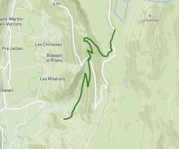
This hiking trail covers 5.355mi starting from Lans-en-Vercors, Isère. The hike is a loop trail and returns to the trailhead. This hike is rated as moderate, plan for about 2h11m to complete it. The route has an elevation gain of 1010ft and an elevation loss of 1089ft.
Description of the route by the creator
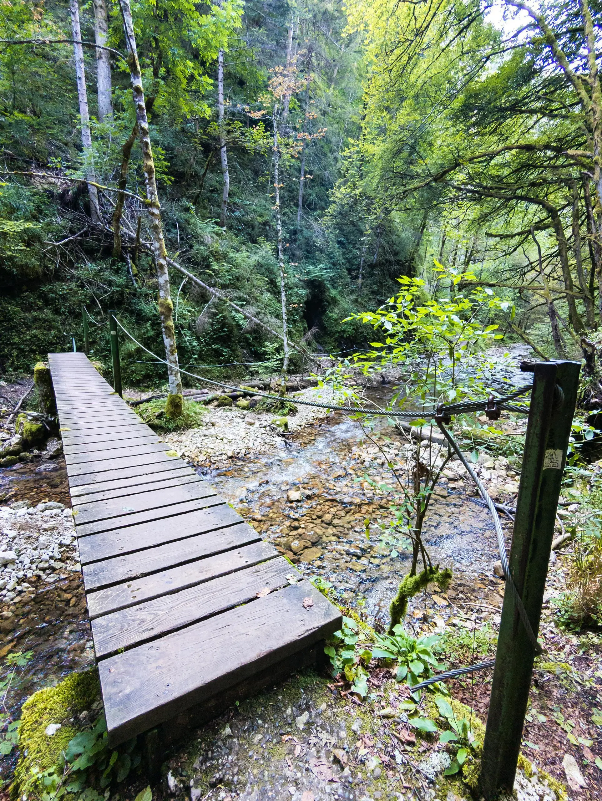
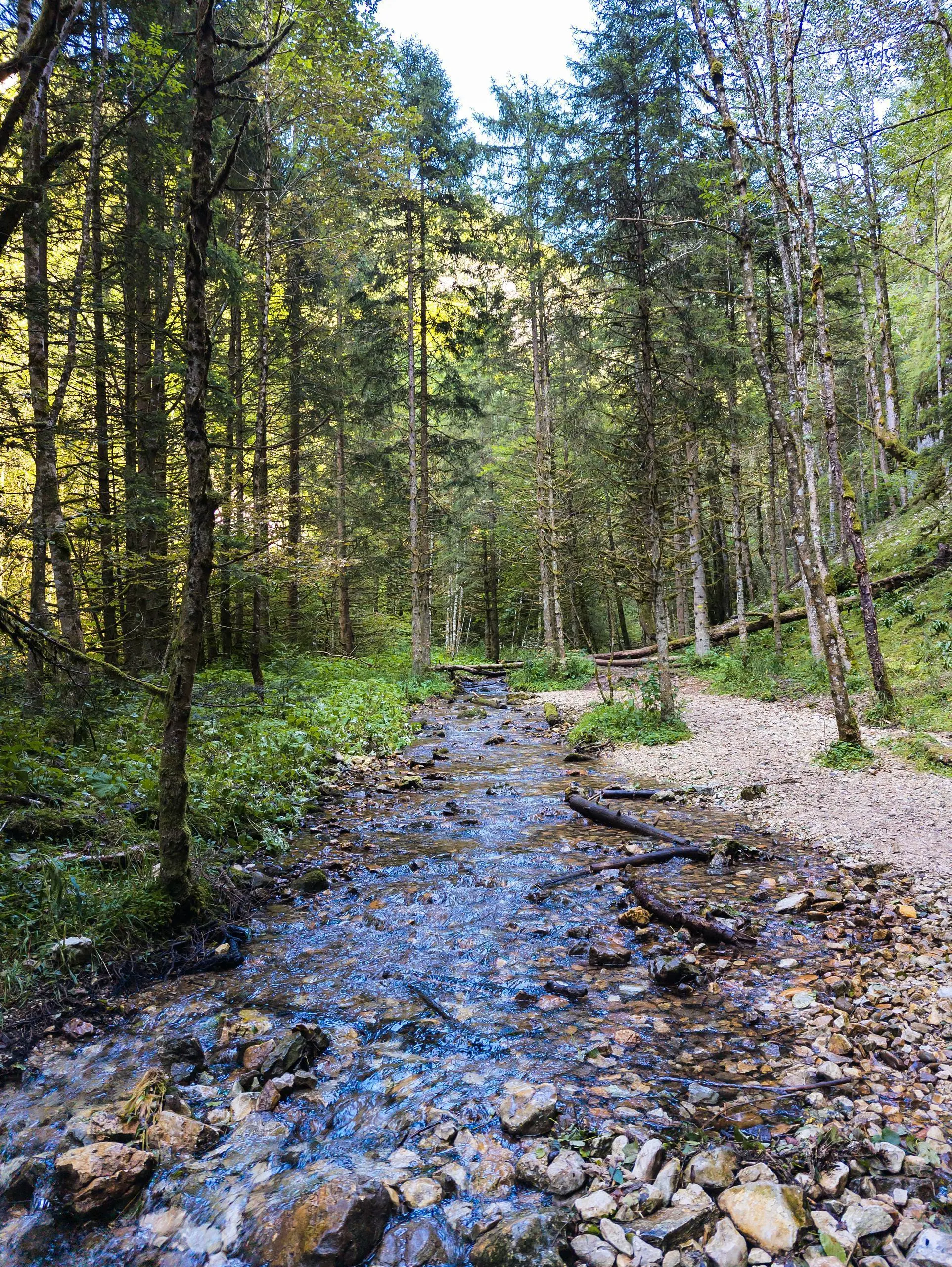
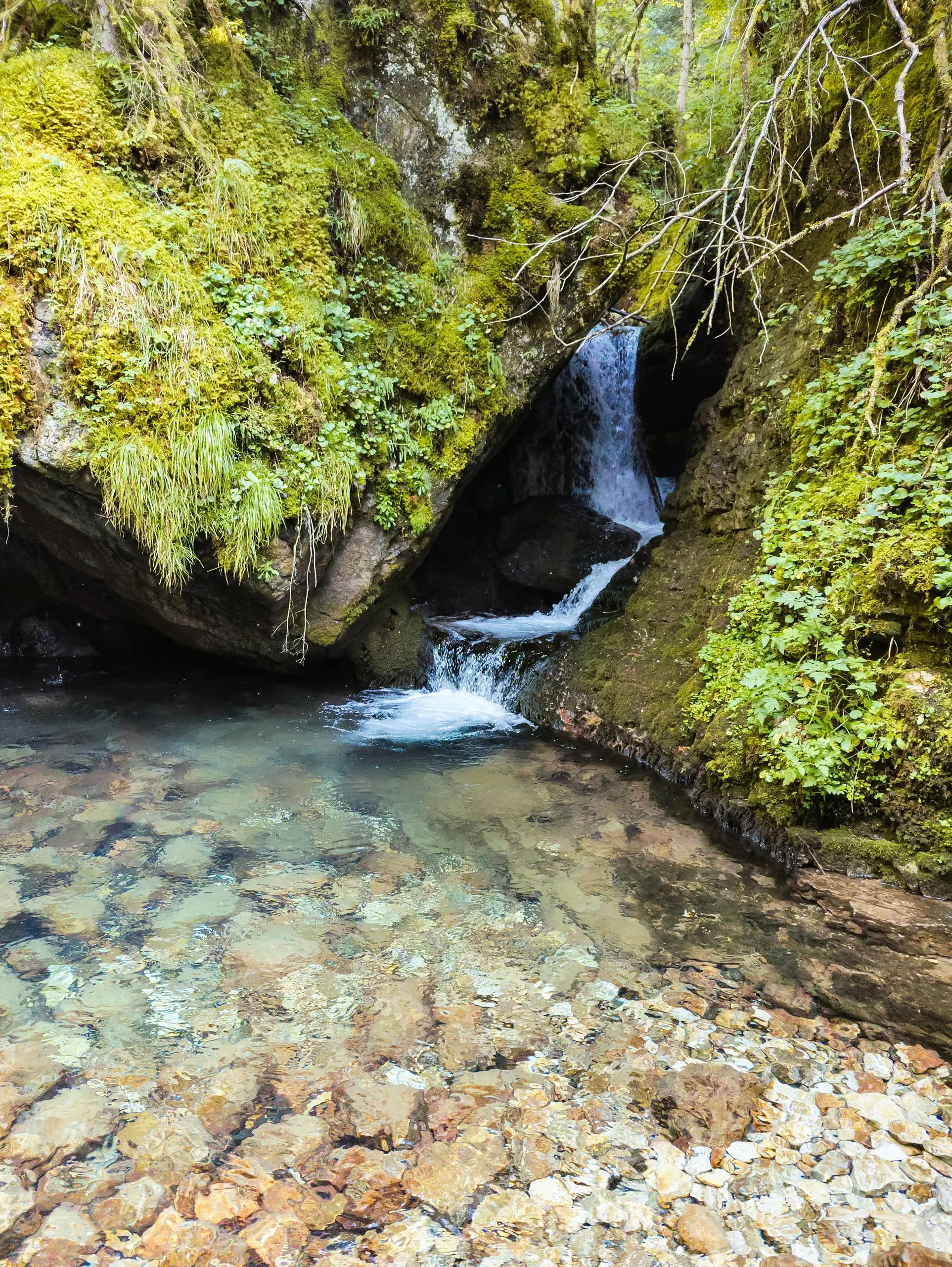
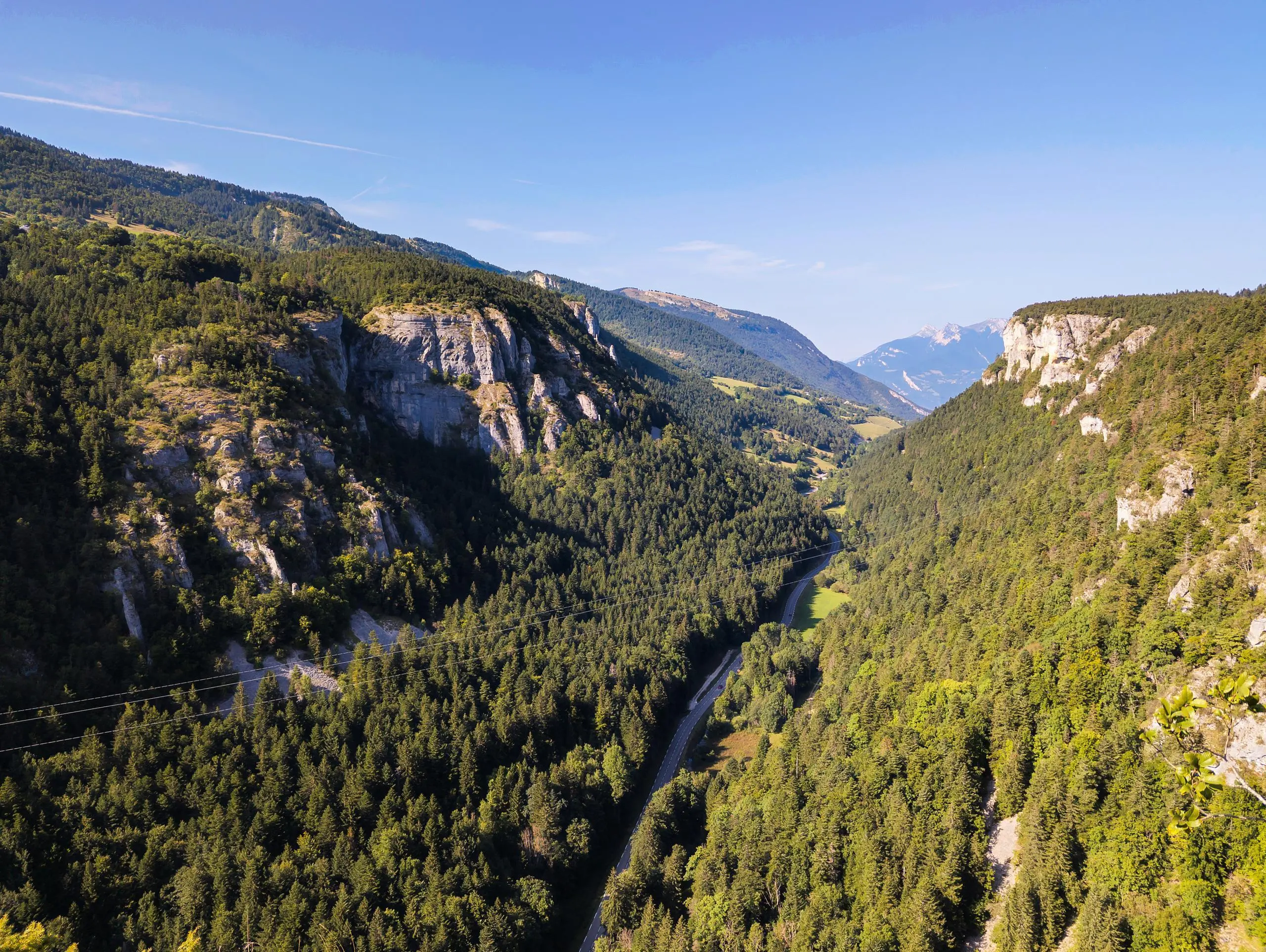
Route passing through one of the best-known waterfalls in the Vercors: Cascade du Bruyant. An easy and varied hike. Park at the dedicated parking lot near the river. Reach the start of the trail by accessing the Le Bruyant river. Walk upstream and enjoy the stream and its waterfalls. There are several bridges over the river. Once at the top of the river, turn right to reach the forest wheel. At the road, turn right to reach the Bec de l'Aigle, with its beautiful view over the valley. Turn right as you leave to use a forest road that runs alongside a field. Turn right at the sign for "La Combe", then a little further on, cross the small river in the middle of the field to join the path below. Go straight on to reach the parking lot.